1036 Mill Pointe Bogart, GA 30622
Estimated Value: $413,000 - $455,000
--
Bed
--
Bath
1,625
Sq Ft
$268/Sq Ft
Est. Value
About This Home
This home is located at 1036 Mill Pointe, Bogart, GA 30622 and is currently estimated at $435,414, approximately $267 per square foot. 1036 Mill Pointe is a home located in Oconee County with nearby schools including Malcom Bridge Elementary School, Malcom Bridge Middle School, and North Oconee High School.
Ownership History
Date
Name
Owned For
Owner Type
Purchase Details
Closed on
Nov 7, 2024
Sold by
Mcneil Alberta L
Bought by
Mcneil Alberta L Trust
Current Estimated Value
Purchase Details
Closed on
Aug 19, 2021
Sold by
Mcnair Evelyn R
Bought by
Mcneil Alberta L
Purchase Details
Closed on
Mar 31, 1994
Bought by
Mcnair Evelyn R
Create a Home Valuation Report for This Property
The Home Valuation Report is an in-depth analysis detailing your home's value as well as a comparison with similar homes in the area
Home Values in the Area
Average Home Value in this Area
Purchase History
| Date | Buyer | Sale Price | Title Company |
|---|---|---|---|
| Mcneil Alberta L Trust | -- | -- | |
| Mcneil Alberta L | $335,000 | -- | |
| Mcnair Evelyn R | $127,900 | -- |
Source: Public Records
Tax History Compared to Growth
Tax History
| Year | Tax Paid | Tax Assessment Tax Assessment Total Assessment is a certain percentage of the fair market value that is determined by local assessors to be the total taxable value of land and additions on the property. | Land | Improvement |
|---|---|---|---|---|
| 2024 | $2,030 | $152,448 | $32,500 | $119,948 |
| 2023 | $2,379 | $143,887 | $32,500 | $111,387 |
| 2022 | $2,408 | $127,258 | $32,500 | $94,758 |
| 2021 | $2,163 | $95,438 | $32,500 | $62,938 |
| 2020 | $1,870 | $82,637 | $32,500 | $50,137 |
| 2019 | $1,852 | $81,863 | $32,500 | $49,363 |
| 2018 | $1,665 | $72,310 | $32,500 | $39,810 |
| 2017 | $1,770 | $76,710 | $32,500 | $44,210 |
| 2016 | $1,731 | $75,081 | $32,500 | $42,581 |
| 2015 | $1,723 | $74,595 | $32,500 | $42,095 |
| 2014 | $1,716 | $72,655 | $32,500 | $40,155 |
| 2013 | -- | $72,179 | $32,500 | $39,679 |
Source: Public Records
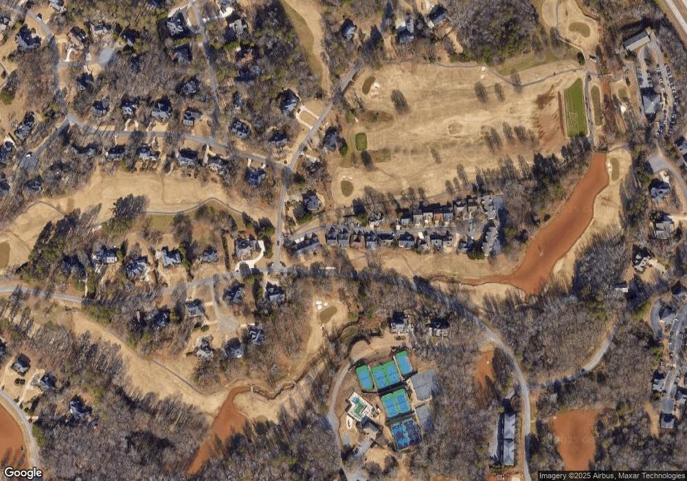
Map
Nearby Homes
- 1261 Meriweather Dr
- 1030 Chambers Ct
- 1070 Ramser Dr
- 1331 Jennings Mill Rd
- 1031 Vend Dr
- 238 Covington Place
- 228 Covington Place
- 1020 Tower Place
- 265 Bedford Dr
- 1090 Kenway Dr
- 355 Commerce Blvd
- 117 Covington Place
- 1266 Orchard Way
- 1011 Meriweather Dr
- 160 Cambridge Dr
- 2232 Orchard Cir
- 171 Dowdy Rd
- 493 Park West Blvd
- 1036 Mill Pointe
- 1036 Mill Point
- 1066 Mill Pointe
- 1030 Mill Pointe
- 1048 Mill Pointe Unit 8
- 1042 Mill Pointe
- 1078 Mill Pointe
- 1067 Mill Pointe
- 1067 Mill Pointe
- 1071 Mill Pointe
- 1071 Mill Pointe
- 1048 Mill Pointe Unit 8
- 1018 Mill Pointe
- 1012 Mill Pointe
- 1012 Mill Pointe Unit 2
- 1041 Mill Pointe
- 1091 Mill Pointe
- 1091 Mill Pointe
- 1018 Mill Pointe
- 1018 Mill Pointe