Estimated Value: $290,417 - $349,000
3
Beds
2
Baths
1,886
Sq Ft
$166/Sq Ft
Est. Value
About This Home
This home is located at 1036 N 750 E, Lagro, IN 46941 and is currently estimated at $312,604, approximately $165 per square foot. 1036 N 750 E is a home located in Wabash County.
Ownership History
Date
Name
Owned For
Owner Type
Purchase Details
Closed on
Dec 31, 2020
Sold by
Morgan Brenda
Bought by
Eltzroth Robert J
Current Estimated Value
Home Financials for this Owner
Home Financials are based on the most recent Mortgage that was taken out on this home.
Original Mortgage
$232,900
Outstanding Balance
$205,432
Interest Rate
2.7%
Mortgage Type
VA
Estimated Equity
$107,172
Purchase Details
Closed on
Jun 14, 2011
Sold by
Bitzer Bertha A
Bought by
Morgan John and Morgan Brenda
Purchase Details
Closed on
Jun 10, 2011
Sold by
Homes For Families
Bought by
Morgan John and Morgan Brenda
Create a Home Valuation Report for This Property
The Home Valuation Report is an in-depth analysis detailing your home's value as well as a comparison with similar homes in the area
Purchase History
| Date | Buyer | Sale Price | Title Company |
|---|---|---|---|
| Eltzroth Robert J | -- | None Available | |
| Morgan John | -- | -- | |
| Morgan John | -- | -- |
Source: Public Records
Mortgage History
| Date | Status | Borrower | Loan Amount |
|---|---|---|---|
| Open | Eltzroth Robert J | $232,900 |
Source: Public Records
Tax History
| Year | Tax Paid | Tax Assessment Tax Assessment Total Assessment is a certain percentage of the fair market value that is determined by local assessors to be the total taxable value of land and additions on the property. | Land | Improvement |
|---|---|---|---|---|
| 2025 | $1,339 | $235,000 | $24,200 | $210,800 |
| 2024 | $1,339 | $204,100 | $24,200 | $179,900 |
| 2023 | $1,382 | $200,800 | $24,200 | $176,600 |
| 2022 | $1,113 | $190,300 | $24,200 | $166,100 |
| 2021 | $1,056 | $169,400 | $20,000 | $149,400 |
| 2020 | $1,013 | $161,100 | $20,000 | $141,100 |
| 2019 | $908 | $152,600 | $20,000 | $132,600 |
| 2018 | $896 | $152,000 | $20,000 | $132,000 |
| 2017 | $887 | $152,900 | $22,900 | $130,000 |
| 2016 | $714 | $152,600 | $22,900 | $129,700 |
| 2014 | $522 | $120,900 | $22,900 | $98,000 |
| 2013 | $520 | $119,400 | $22,900 | $96,500 |
Source: Public Records
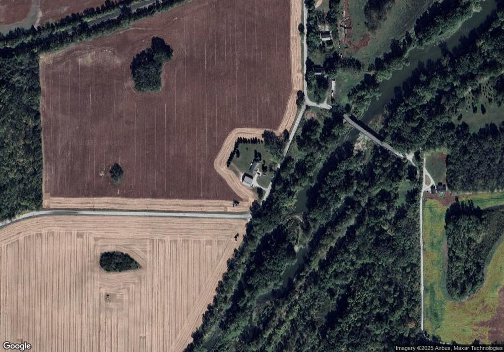
Map
Nearby Homes
- 6673 E Blue Star Hwy
- 519 W Mckeever St
- 436 W Bellville Ave
- 63 E Mckeever St
- 172 N Main St
- 109 S Market St
- 288 N Main St
- 161 S Jackson St
- 190 N State St
- 4435 N 825 W
- 5562 W 100 N
- 2708 Indiana 524
- 6455 W 444 N
- 1957 E State Road 524
- 9511 Lost Bridge Rd W
- 3010 Trappers Cove
- 1913 Hunters Ridge Dr
- 2207 Miami Trail
- 8937 S 900 W
- TBD 495 N
- 7689 E 100 N
- 1153 N 750 E
- 1195 N 750 E
- 1271 N 750 E
- 7813 E 100 N
- 7174 E Schmalzried Rd
- 1330 N 750 E
- 7711 E 100 N
- 7870 E 100 N
- 7925 E 100 N
- 7457 E Blue Star Hwy
- 7757 E Blue Star Hwy
- 7670 E Blue Star Hwy
- 9812 W 100 N
- 1568 N 750 E
- 9949 W 100 N
- 1264 N 975 W
- 7010 E Schmalzried Rd
- 1061 N 975 W
- 7047 E Blue Star Hwy
Your Personal Tour Guide
Ask me questions while you tour the home.