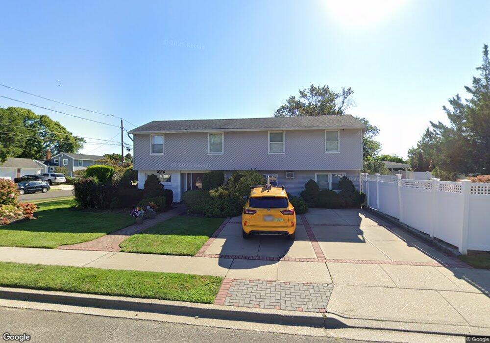
1036 N Central Dr Massapequa, NY 11758
Estimated Value: $874,000 - $931,145
5
Beds
4
Baths
2,120
Sq Ft
$426/Sq Ft
Est. Value
About This Home
This home is located at 1036 N Central Dr, Massapequa, NY 11758 and is currently estimated at $902,573, approximately $425 per square foot. 1036 N Central Dr is a home located in Nassau County with nearby schools including Albany Avenue Elementary School, Weldon E. Howitt Middle School, and Farmingdale Senior High School.
Ownership History
Date
Name
Owned For
Owner Type
Purchase Details
Closed on
Jun 26, 2000
Sold by
Miller Robert and Miller Bonnie
Bought by
Buttar Gurmeet Sigh and Gurchorn Kau
Current Estimated Value
Purchase Details
Closed on
Jul 21, 1995
Sold by
Alaska Louisiana Partners
Bought by
Miller Robert and Miller Bonnie
Home Financials for this Owner
Home Financials are based on the most recent Mortgage that was taken out on this home.
Original Mortgage
$124,000
Interest Rate
7.58%
Create a Home Valuation Report for This Property
The Home Valuation Report is an in-depth analysis detailing your home's value as well as a comparison with similar homes in the area
Home Values in the Area
Average Home Value in this Area
Purchase History
| Date | Buyer | Sale Price | Title Company |
|---|---|---|---|
| Buttar Gurmeet Sigh | $340,000 | John Napolitano | |
| Miller Robert | $155,000 | -- |
Source: Public Records
Mortgage History
| Date | Status | Borrower | Loan Amount |
|---|---|---|---|
| Previous Owner | Miller Robert | $124,000 |
Source: Public Records
Tax History Compared to Growth
Tax History
| Year | Tax Paid | Tax Assessment Tax Assessment Total Assessment is a certain percentage of the fair market value that is determined by local assessors to be the total taxable value of land and additions on the property. | Land | Improvement |
|---|---|---|---|---|
| 2025 | $15,022 | $542 | $210 | $332 |
| 2024 | $5,046 | $571 | $221 | $350 |
| 2023 | $13,435 | $591 | $229 | $362 |
| 2022 | $13,435 | $591 | $229 | $362 |
| 2021 | $12,056 | $601 | $233 | $368 |
| 2020 | $11,292 | $638 | $510 | $128 |
| 2019 | $10,916 | $684 | $451 | $233 |
| 2018 | $11,006 | $792 | $0 | $0 |
| 2017 | $7,739 | $830 | $467 | $363 |
| 2016 | $12,009 | $922 | $477 | $445 |
| 2015 | $4,435 | $973 | $448 | $525 |
| 2014 | $4,435 | $973 | $448 | $525 |
| 2013 | $4,395 | $1,058 | $487 | $571 |
Source: Public Records
Map
Nearby Homes
- 275 N Utica Ave
- 263 N Park Dr
- 267 N Poplar St
- 250 N Poplar St
- 208 Daniel Rd N
- 267 N Elm St
- 345 N Wisconsin Ave
- 337 N Boston Ave
- 956 N Park Ave
- 329 N Wyoming Ave
- 215 N Syracuse Ave
- 42 Amherst Dr
- 223 N Beech St
- 207 N Elm St
- 5 Webster Ave
- 27 Midlawn Dr
- 1080 N Broadway
- 957 N Broadway
- 271 N Kentucky Ave
- 408 Briarwood Rd
- 282 N Syracuse Ave
- 1034 N Central Dr
- 287 N Utica Ave
- 1035 N Central Dr
- 297 N Syracuse Ave Unit B
- 297 N Syracuse Ave
- 297 N Syracuse Ave Unit 2
- 280 N Syracuse Ave
- 1033 N Central Dr
- 285 N Utica Ave
- 279 N Syracuse Ave
- 437 N Syracuse Ave
- 289 N Utica Ave
- 283 N Utica Ave
- 277 N Syracuse Ave
- 440 N Syracuse Ave
- 1037 N Central Dr
- 298 N Atlanta Ave
- 1032 N Central Dr
- 296 N Atlanta Ave