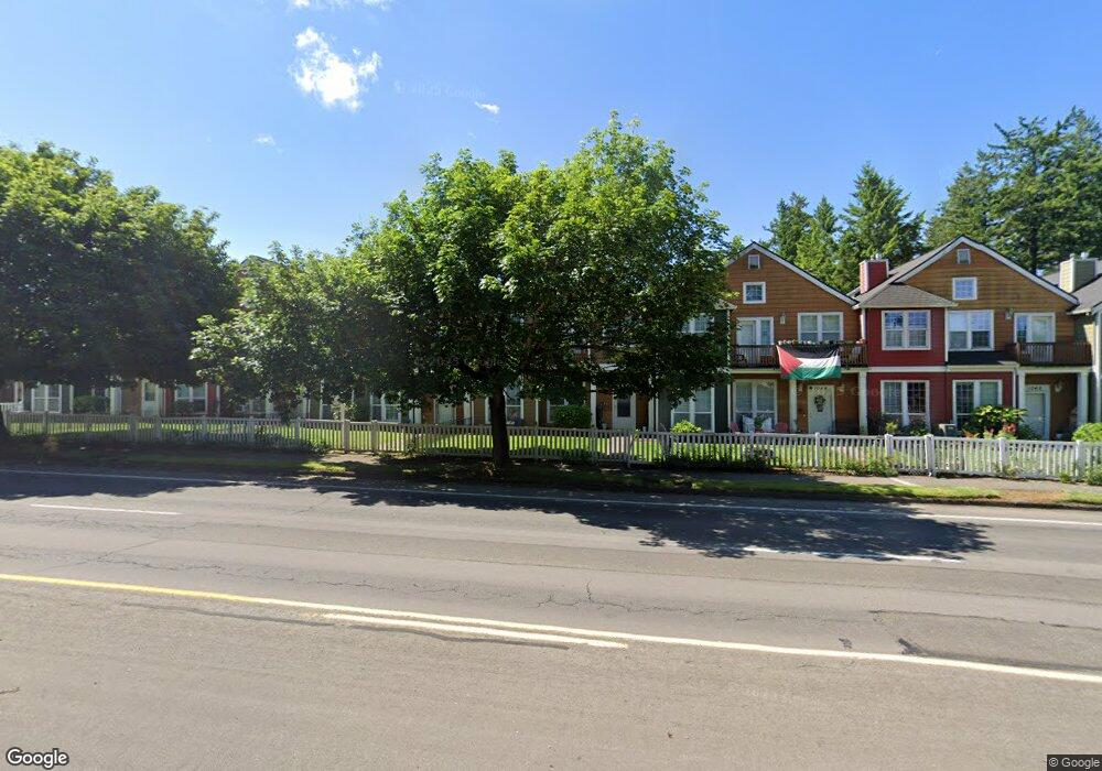
1036 NW Burnside Rd Unit 8 Gresham, OR 97030
Northwest Gresham NeighborhoodEstimated Value: $351,000 - $375,000
3
Beds
7
Baths
1,675
Sq Ft
$217/Sq Ft
Est. Value
About This Home
This home is located at 1036 NW Burnside Rd Unit 8, Gresham, OR 97030 and is currently estimated at $363,345, approximately $216 per square foot. 1036 NW Burnside Rd Unit 8 is a home located in Multnomah County with nearby schools including North Gresham Elementary School, Clear Creek Middle School, and Gresham High School.
Ownership History
Date
Name
Owned For
Owner Type
Purchase Details
Closed on
Jan 15, 2025
Sold by
Werner Erik
Bought by
Adams Kira and Adams Joshua
Current Estimated Value
Home Financials for this Owner
Home Financials are based on the most recent Mortgage that was taken out on this home.
Original Mortgage
$353,479
Outstanding Balance
$349,668
Interest Rate
6.69%
Mortgage Type
FHA
Estimated Equity
$13,677
Purchase Details
Closed on
May 12, 2015
Sold by
Lynn Cara
Bought by
Werner Erik
Home Financials for this Owner
Home Financials are based on the most recent Mortgage that was taken out on this home.
Original Mortgage
$193,409
Interest Rate
3.67%
Mortgage Type
FHA
Purchase Details
Closed on
Jul 16, 2007
Sold by
Agner Timothy Michael
Bought by
Lynn Cara
Home Financials for this Owner
Home Financials are based on the most recent Mortgage that was taken out on this home.
Original Mortgage
$179,100
Interest Rate
6.41%
Mortgage Type
Purchase Money Mortgage
Purchase Details
Closed on
May 25, 2005
Sold by
Emc Mortgage Corp
Bought by
Agner Timothy Michael and Agner Tiffany May
Home Financials for this Owner
Home Financials are based on the most recent Mortgage that was taken out on this home.
Original Mortgage
$112,800
Interest Rate
7.1%
Mortgage Type
Purchase Money Mortgage
Purchase Details
Closed on
Mar 25, 2005
Sold by
Wilson Loni
Bought by
Emc Mortgage Corp
Purchase Details
Closed on
Apr 15, 2004
Sold by
Parker Jeff
Bought by
Wilson Loni
Home Financials for this Owner
Home Financials are based on the most recent Mortgage that was taken out on this home.
Original Mortgage
$162,000
Interest Rate
6.5%
Mortgage Type
Purchase Money Mortgage
Purchase Details
Closed on
Oct 2, 2001
Sold by
Parker Jeffrey I
Bought by
Parker Jeff
Home Financials for this Owner
Home Financials are based on the most recent Mortgage that was taken out on this home.
Original Mortgage
$135,000
Interest Rate
6.91%
Mortgage Type
Purchase Money Mortgage
Create a Home Valuation Report for This Property
The Home Valuation Report is an in-depth analysis detailing your home's value as well as a comparison with similar homes in the area
Home Values in the Area
Average Home Value in this Area
Purchase History
| Date | Buyer | Sale Price | Title Company |
|---|---|---|---|
| Adams Kira | $360,000 | Wfg Title | |
| Werner Erik | $196,978 | Stewart Title | |
| Lynn Cara | $199,000 | First American Title Insuran | |
| Agner Timothy Michael | $141,000 | Fidelity Natl Title Co Of Or | |
| Emc Mortgage Corp | $119,000 | -- | |
| Wilson Loni | $180,000 | Fidelity Natl Title Co Of Or | |
| Parker Jeff | -- | Fidelity National Title Co |
Source: Public Records
Mortgage History
| Date | Status | Borrower | Loan Amount |
|---|---|---|---|
| Open | Adams Kira | $353,479 | |
| Closed | Adams Kira | $12,600 | |
| Previous Owner | Werner Erik | $193,409 | |
| Previous Owner | Lynn Cara | $179,100 | |
| Previous Owner | Agner Timothy Michael | $112,800 | |
| Previous Owner | Wilson Loni | $162,000 | |
| Previous Owner | Parker Jeff | $135,000 | |
| Closed | Agner Timothy Michael | $28,200 |
Source: Public Records
Tax History
| Year | Tax Paid | Tax Assessment Tax Assessment Total Assessment is a certain percentage of the fair market value that is determined by local assessors to be the total taxable value of land and additions on the property. | Land | Improvement |
|---|---|---|---|---|
| 2025 | $4,249 | $208,820 | -- | -- |
| 2024 | $4,068 | $202,740 | -- | -- |
| 2023 | $4,068 | $196,840 | -- | -- |
| 2022 | $3,602 | $191,110 | $0 | $0 |
| 2021 | $3,512 | $185,550 | $0 | $0 |
| 2020 | $3,304 | $180,150 | $0 | $0 |
| 2019 | $3,218 | $174,910 | $0 | $0 |
| 2018 | $3,068 | $169,820 | $0 | $0 |
| 2017 | $2,944 | $164,880 | $0 | $0 |
| 2016 | $2,596 | $160,080 | $0 | $0 |
| 2015 | $2,469 | $155,420 | $0 | $0 |
| 2014 | -- | $130,070 | $0 | $0 |
Source: Public Records
Map
Nearby Homes
- 21033 SE Clay Ct
- 2013 NW Bella Vista Dr
- 1811 NW 19th St
- 21532 SE Alder St
- 1861 NW Wonderview Ave
- 21016 SE Stark St Unit 71
- 21016 SE Stark St Unit 69
- 21400 SE Stark St Unit 2
- 21260 SE Stark St
- 1596 NW Riverview Ave
- 1325 NW 9th St
- 1035 SE 225th Ave
- 21525 SE Oak St
- 209 SE 214th Ave
- 1387 NW Riverview Ave Unit 14B
- 54 NW 13th St
- 210 SE 218th Ave
- 132 SE 214th Ave
- 21553 SE Ankeny Terrace
- 70 NW Birdsdale Ave
- 1036 NW Burnside Rd
- 1044 NW Burnside Rd Unit 7
- 1044 NW Burnside Rd
- 1032 NW Burnside Rd Unit 9
- 1048 NW Burnside Rd Unit 6
- 1048 NW Burnside Rd
- 1028 NW Burnside Rd Unit 10
- 1028 NW Burnside Rd
- 1043 NW Council Dr Unit 15
- 1043 NW Council Dr
- 1024 NW Burnside Rd Unit 11
- 1024 NW Burnside Rd
- 1047 NW Council Dr Unit 16
- 1047 NW Council Dr Unit DR
- 1047 NW Council Dr
- 1052 NW Burnside Rd Unit 5
- 1052 NW Burnside Rd
- 1051 NW Council Dr Unit 17
- 1051 NW Council Dr
- 1053 NW Council Dr Unit 15
Your Personal Tour Guide
Ask me questions while you tour the home.