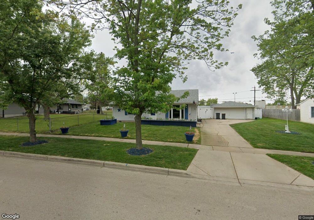
1036 Oakland Dr Streamwood, IL 60107
Woodland Heights NeighborhoodEstimated Value: $281,000 - $304,792
2
Beds
1
Bath
1,060
Sq Ft
$274/Sq Ft
Est. Value
About This Home
This home is located at 1036 Oakland Dr, Streamwood, IL 60107 and is currently estimated at $290,198, approximately $273 per square foot. 1036 Oakland Dr is a home located in Cook County with nearby schools including Sunnydale Elementary School, Tefft Middle School, and Streamwood High School.
Ownership History
Date
Name
Owned For
Owner Type
Purchase Details
Closed on
May 7, 2001
Sold by
Thies Robert G
Bought by
Hartigan Shawn and Hartigan Jamie
Current Estimated Value
Home Financials for this Owner
Home Financials are based on the most recent Mortgage that was taken out on this home.
Original Mortgage
$135,000
Outstanding Balance
$49,363
Interest Rate
6.75%
Estimated Equity
$240,835
Create a Home Valuation Report for This Property
The Home Valuation Report is an in-depth analysis detailing your home's value as well as a comparison with similar homes in the area
Home Values in the Area
Average Home Value in this Area
Purchase History
| Date | Buyer | Sale Price | Title Company |
|---|---|---|---|
| Hartigan Shawn | $135,000 | -- |
Source: Public Records
Mortgage History
| Date | Status | Borrower | Loan Amount |
|---|---|---|---|
| Open | Hartigan Shawn | $135,000 |
Source: Public Records
Tax History Compared to Growth
Tax History
| Year | Tax Paid | Tax Assessment Tax Assessment Total Assessment is a certain percentage of the fair market value that is determined by local assessors to be the total taxable value of land and additions on the property. | Land | Improvement |
|---|---|---|---|---|
| 2024 | $6,468 | $21,001 | $4,545 | $16,456 |
| 2023 | $6,299 | $21,001 | $4,545 | $16,456 |
| 2022 | $6,299 | $21,001 | $4,545 | $16,456 |
| 2021 | $5,867 | $16,049 | $3,181 | $12,868 |
| 2020 | $5,768 | $16,049 | $3,181 | $12,868 |
| 2019 | $5,762 | $18,033 | $3,181 | $14,852 |
| 2018 | $5,600 | $15,900 | $2,726 | $13,174 |
| 2017 | $5,523 | $15,900 | $2,726 | $13,174 |
| 2016 | $5,150 | $15,900 | $2,726 | $13,174 |
| 2015 | $5,258 | $14,824 | $2,499 | $12,325 |
| 2014 | $5,178 | $14,824 | $2,499 | $12,325 |
| 2013 | $5,018 | $14,824 | $2,499 | $12,325 |
Source: Public Records
Map
Nearby Homes
- 1019 Stratford Cir
- 626 Oriole Dr
- 617 Arnold Ave
- 406 Library Ln
- 1005 S Park Blvd
- 700 Pleasant Place
- 511 Freeman Ave
- 718 Russet Ln
- 803 Forest Dr
- 121 E Briarwood Dr
- 619 Parkside Cir
- 113 Samuel Ct Unit 263
- 202 Parkwood Dr
- 531 Parkside Cir
- 7411 Astor Ave
- 502 Rambler Ln
- 819 Robinson Ave
- 719 Lacy Ave
- 427 Cedarcrest Dr
- 55 Samuel Dr Unit 162
- 1004 Vine St
- 1034 Oakland Dr
- 1032 Oakland Dr
- 1035 Oakland Dr
- 1037 Oakland Dr
- 1031 Oakland Dr
- 1030 Oakland Dr Unit 1
- 1029 Oakland Dr
- 930 Mulberry Ln
- 932 Mulberry Ln
- 1003 Vine St
- 1001 Vine St
- 1008 Vine St
- 928 Mulberry Ln
- 1028 Oakland Dr
- 1005 Vine St
- 1027 Oakland Dr
- 915 Vine St
- 926 Mulberry Ln
- 913 Vine St