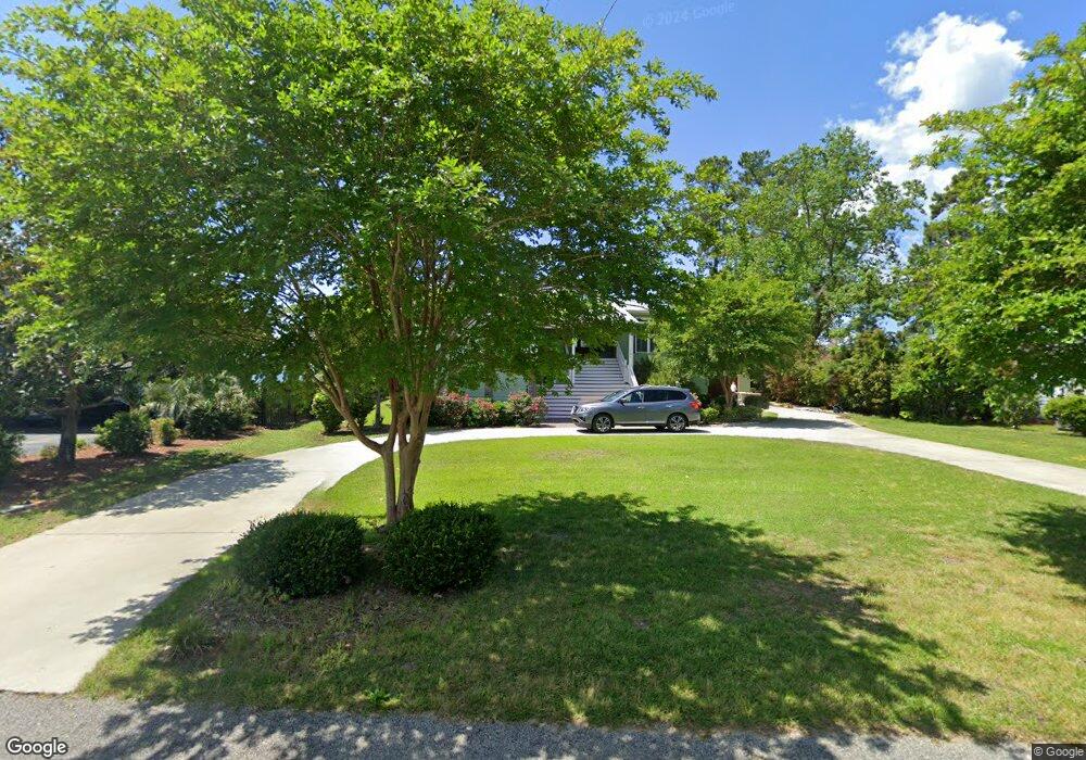
1036 Perch Dr Manning, SC 29102
Estimated Value: $773,000 - $900,000
3
Beds
3
Baths
2,700
Sq Ft
$311/Sq Ft
Est. Value
About This Home
This home is located at 1036 Perch Dr, Manning, SC 29102 and is currently estimated at $838,628, approximately $310 per square foot. 1036 Perch Dr is a home located in Clarendon County with nearby schools including Manning Early Childhood Center, Manning Primary School, and Manning Elementary School.
Ownership History
Date
Name
Owned For
Owner Type
Purchase Details
Closed on
Feb 2, 2017
Sold by
Hurst G Michael and Hurst Gail H
Bought by
Simon Wayne L
Current Estimated Value
Create a Home Valuation Report for This Property
The Home Valuation Report is an in-depth analysis detailing your home's value as well as a comparison with similar homes in the area
Home Values in the Area
Average Home Value in this Area
Purchase History
| Date | Buyer | Sale Price | Title Company |
|---|---|---|---|
| Simon Wayne L | $515,000 | None Available |
Source: Public Records
Tax History Compared to Growth
Tax History
| Year | Tax Paid | Tax Assessment Tax Assessment Total Assessment is a certain percentage of the fair market value that is determined by local assessors to be the total taxable value of land and additions on the property. | Land | Improvement |
|---|---|---|---|---|
| 2024 | -- | $24,424 | $0 | $0 |
| 2023 | $0 | $24,424 | $9,000 | $15,424 |
| 2022 | $0 | $24,424 | $9,000 | $15,424 |
| 2021 | $2,352 | $0 | $0 | $0 |
| 2020 | $2,352 | $20,576 | $7,800 | $12,776 |
| 2019 | $1,847 | $20,576 | $7,800 | $12,776 |
| 2018 | $9,887 | $20,576 | $0 | $0 |
| 2017 | $2,430 | $16,632 | $0 | $0 |
| 2016 | $2,352 | $16,632 | $0 | $0 |
| 2015 | $2,447 | $15,005 | $4,761 | $10,244 |
| 2014 | $2,409 | $15,005 | $4,761 | $10,244 |
| 2013 | -- | $15,005 | $4,761 | $10,244 |
Source: Public Records
Map
Nearby Homes
- 1140 Perch Dr
- 1184 Perch Dr
- 13667 S Carolina 260
- 2205 Cypress Pointe Unit B 205
- 1303 Delano St
- 1311 Cypress Pointe #311
- 1203 Cypress Pointe Unit A203
- 1109 Cypress Pointe Unit 109
- 1310 Cypress Pointe Unit A310
- 1223 Delano St
- 0 Camp Shelor Rd
- 0 Delano St
- 1702 Camp Shelor Rd
- 1083 Copperhead Rd
- Tbd Unit Sub
- 1343 Morello Rd
- 1229 Lemon Ave
- 1649 Lemon Ave
- 1026 Carolina Way Unit Lot 79
- 1026 Carolina Way
- 1052 Perch Dr
- 1018 Perch Dr
- 1445 Quail Trail
- 1064 Perch Dr
- 1017 Perch Dr
- 1266 Quail Trail
- 1086 Perch Dr
- 1467 Quail Trail
- TBD Perch Dr
- 0 Perch Dr
- 1409 Quail Trail
- 1100 Perch Dr
- 1483 Quail Trail
- 1460 Quail Trail
- 1116 Perch Dr
- 1391 Quail Trail
- 1493 Quail Trail
- 1130 Perch Dr
- 1377 Quail Trail
- 1148 Perch Dr