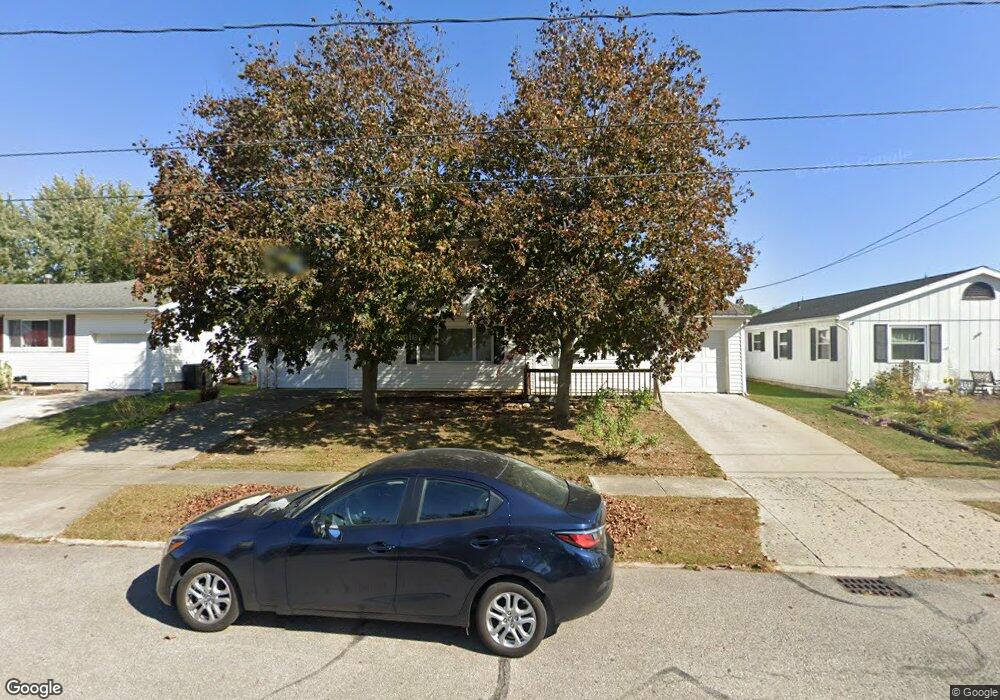
1036 Plantation Dr Marion, OH 43302
Estimated Value: $205,697 - $268,000
4
Beds
2
Baths
2,030
Sq Ft
$117/Sq Ft
Est. Value
About This Home
This home is located at 1036 Plantation Dr, Marion, OH 43302 and is currently estimated at $237,924, approximately $117 per square foot. 1036 Plantation Dr is a home located in Marion County with nearby schools including William McKinley Elementary School, Ulysses S. Grant Middle School, and Harding High School.
Ownership History
Date
Name
Owned For
Owner Type
Purchase Details
Closed on
Jul 5, 2012
Sold by
Mccardle Louis
Bought by
Graham Ryan D
Current Estimated Value
Home Financials for this Owner
Home Financials are based on the most recent Mortgage that was taken out on this home.
Original Mortgage
$72,000
Outstanding Balance
$49,630
Interest Rate
3.64%
Mortgage Type
Future Advance Clause Open End Mortgage
Estimated Equity
$188,294
Purchase Details
Closed on
Oct 22, 1996
Bought by
Graham Ryan D
Create a Home Valuation Report for This Property
The Home Valuation Report is an in-depth analysis detailing your home's value as well as a comparison with similar homes in the area
Home Values in the Area
Average Home Value in this Area
Purchase History
| Date | Buyer | Sale Price | Title Company |
|---|---|---|---|
| Graham Ryan D | $90,000 | Chicago Title | |
| Graham Ryan D | -- | -- |
Source: Public Records
Mortgage History
| Date | Status | Borrower | Loan Amount |
|---|---|---|---|
| Open | Graham Ryan D | $72,000 |
Source: Public Records
Tax History Compared to Growth
Tax History
| Year | Tax Paid | Tax Assessment Tax Assessment Total Assessment is a certain percentage of the fair market value that is determined by local assessors to be the total taxable value of land and additions on the property. | Land | Improvement |
|---|---|---|---|---|
| 2024 | $1,995 | $52,010 | $6,460 | $45,550 |
| 2023 | $1,995 | $52,010 | $6,460 | $45,550 |
| 2022 | $1,852 | $52,010 | $6,460 | $45,550 |
| 2021 | $1,700 | $43,000 | $5,620 | $37,380 |
| 2020 | $1,704 | $43,000 | $5,620 | $37,380 |
| 2019 | $1,658 | $43,000 | $5,620 | $37,380 |
| 2018 | $1,245 | $32,320 | $5,660 | $26,660 |
| 2017 | $1,262 | $32,320 | $5,660 | $26,660 |
| 2016 | $1,255 | $32,320 | $5,660 | $26,660 |
| 2015 | $1,251 | $31,520 | $5,390 | $26,130 |
| 2014 | $1,252 | $31,520 | $5,390 | $26,130 |
| 2012 | $1,325 | $33,130 | $5,170 | $27,960 |
Source: Public Records
Map
Nearby Homes
- 1406 Plantation Dr
- 1133 Amherst Dr
- 786 Sheridan Rd
- 772 Sheridan Rd
- 950 Oak Grove Ave
- 0 Bellefontaine Ave
- 889 Oak Grove Ave
- 757 Merkle Ave
- 796 Woodrow Ave
- 989 Davids St
- 981 Davids St
- 720 Woodrow Ave
- 625 Rochelle Dr
- 668 Uncapher Ave
- 645 Henry St
- 681 Davids St
- 472 Clinton St
- 1178 Cheney Ave
- 579 Henry St
- 407 Latourette St
- 1028 Plantation Dr
- 1044 Plantation Dr
- 1020 Plantation Dr
- 1037 Underwood South Dr
- 1054 Plantation Dr
- 1029 Underwood South Dr
- 1045 Underwood South Dr
- 1045 Underwood Dr S
- 1035 Plantation Dr
- 1021 Underwood South Dr
- 1043 Plantation Dr
- 1012 Plantation Dr
- 1027 Plantation Dr
- 1055 Underwood South Dr
- 1064 Plantation Dr
- 1053 Plantation Dr
- 1013 Underwood South Dr
- 1019 Plantation Dr
- 1004 Plantation Dr
- 1045 S Underwood (Pend )