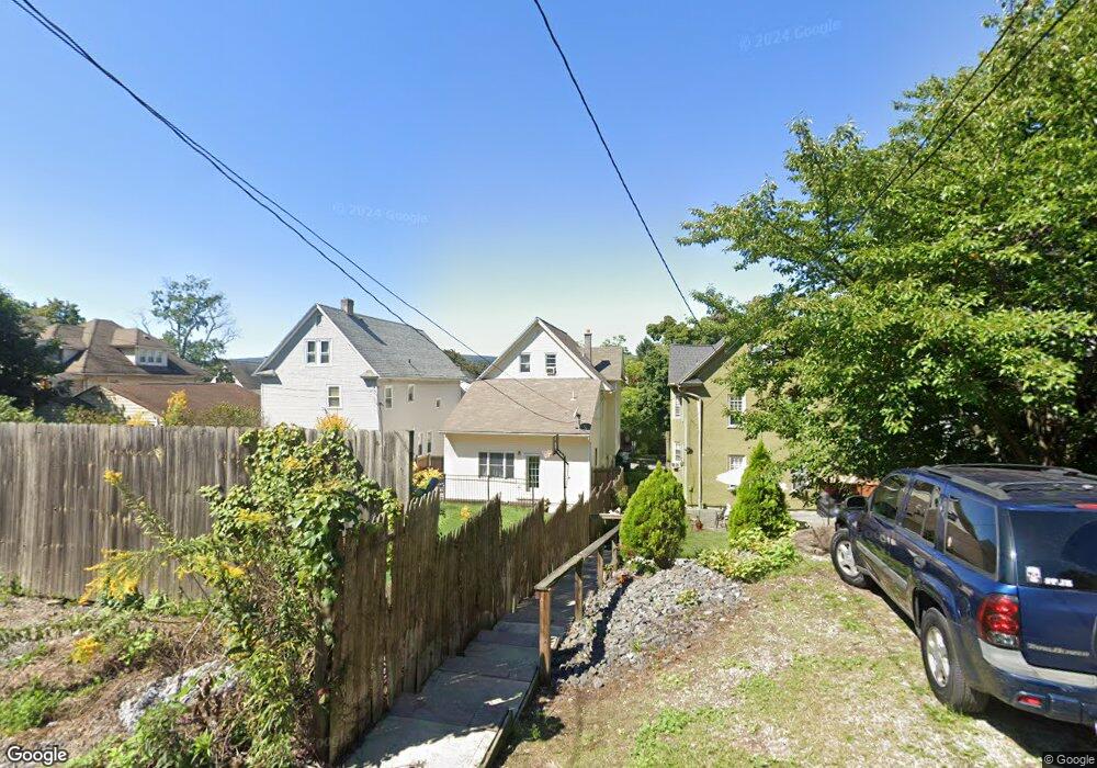
1036 Quincy Ave Scranton, PA 18510
Hill Section NeighborhoodEstimated Value: $144,077 - $287,000
--
Bed
--
Bath
--
Sq Ft
6,360
Sq Ft Lot
About This Home
This home is located at 1036 Quincy Ave, Scranton, PA 18510 and is currently estimated at $232,269. 1036 Quincy Ave is a home located in Lackawanna County with nearby schools including Lakeside Elementary School, Pinchbeck Elementary School, and Columbia Heights Elementary School.
Ownership History
Date
Name
Owned For
Owner Type
Purchase Details
Closed on
Oct 2, 2008
Sold by
Ferguson Patricia
Bought by
Lalli Kristen
Current Estimated Value
Home Financials for this Owner
Home Financials are based on the most recent Mortgage that was taken out on this home.
Original Mortgage
$96,000
Outstanding Balance
$64,174
Interest Rate
6.54%
Mortgage Type
New Conventional
Estimated Equity
$168,095
Create a Home Valuation Report for This Property
The Home Valuation Report is an in-depth analysis detailing your home's value as well as a comparison with similar homes in the area
Home Values in the Area
Average Home Value in this Area
Purchase History
| Date | Buyer | Sale Price | Title Company |
|---|---|---|---|
| Lalli Kristen | $120,000 | None Available |
Source: Public Records
Mortgage History
| Date | Status | Borrower | Loan Amount |
|---|---|---|---|
| Open | Lalli Kristen | $96,000 |
Source: Public Records
Tax History Compared to Growth
Tax History
| Year | Tax Paid | Tax Assessment Tax Assessment Total Assessment is a certain percentage of the fair market value that is determined by local assessors to be the total taxable value of land and additions on the property. | Land | Improvement |
|---|---|---|---|---|
| 2025 | $5,020 | $14,000 | $4,850 | $9,150 |
| 2024 | $4,622 | $14,000 | $4,850 | $9,150 |
| 2023 | $4,622 | $14,000 | $4,850 | $9,150 |
| 2022 | $4,521 | $14,000 | $4,850 | $9,150 |
| 2021 | $4,521 | $14,000 | $4,850 | $9,150 |
| 2020 | $4,446 | $14,000 | $4,850 | $9,150 |
| 2019 | $4,193 | $14,000 | $4,850 | $9,150 |
| 2018 | $4,193 | $14,000 | $4,850 | $9,150 |
| 2017 | $4,127 | $14,000 | $4,850 | $9,150 |
| 2016 | $1,590 | $14,000 | $4,850 | $9,150 |
| 2015 | $2,862 | $14,000 | $4,850 | $9,150 |
| 2014 | -- | $14,000 | $4,850 | $9,150 |
Source: Public Records
Map
Nearby Homes
- 1105 Quincy Ave
- 615-617 Quincy Ave
- 825 827 Quincy Ave Unit 825-827
- 929 Monroe Ave
- 1018 Madison Ave
- 917 Taylor Ave
- 1028-1030 Madison Ave
- 1119 1121 Monroe Ave
- 832 Monroe Ave
- 139 William St
- 900 Taylor Ave
- 1210 Monroe Ave
- 1406 Ash St
- 1017 Prescott Ave
- 805-807 N Irving Ave
- 826 N Irving Ave
- 1207 N Webster Ave
- 1112 Ridge Ave
- 621 Clay Ave
- 627 S Blakely St
- 1040 Quincy Ave
- 1032 Quincy Ave
- 1044 Quincy Ave
- 1028 Quincy Ave
- 1044 Quincy First Floor Ave
- 1044 Quincy Second Floor Ave
- 1024 Quincy Ave
- 1046 Quincy Ave Unit 1048
- 1020 Poplar St
- 1024 Poplar St
- 1022 Poplar St Unit 1024
- 1022-1024 Poplar St
- 1020 Quincy Ave
- 1035 Clay Ave
- 1031 Clay Ave
- 1039 Clay Ave
- 1027 Clay Ave
- 1026 Poplar St Unit 1028
- 1026-1028 Poplar St
- 1028 Poplar St