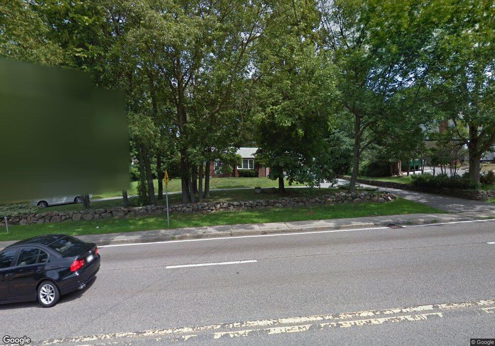
1036 Randolph Ave Milton, MA 02186
Hillside Street NeighborhoodEstimated Value: $951,921 - $1,214,000
4
Beds
2
Baths
2,218
Sq Ft
$462/Sq Ft
Est. Value
About This Home
This home is located at 1036 Randolph Ave, Milton, MA 02186 and is currently estimated at $1,025,230, approximately $462 per square foot. 1036 Randolph Ave is a home located in Norfolk County with nearby schools including Milton High School, Milton Academy, and Fontbonne Academy.
Ownership History
Date
Name
Owned For
Owner Type
Purchase Details
Closed on
Jan 25, 2018
Sold by
Mitchell James M and Mitchell Donna M
Bought by
Mitchell Ft
Current Estimated Value
Purchase Details
Closed on
Sep 1, 1992
Sold by
Loringt Arthur H and Loring Elsie I
Bought by
Mitchell James M and Mitchell Donna M
Create a Home Valuation Report for This Property
The Home Valuation Report is an in-depth analysis detailing your home's value as well as a comparison with similar homes in the area
Home Values in the Area
Average Home Value in this Area
Purchase History
| Date | Buyer | Sale Price | Title Company |
|---|---|---|---|
| Mitchell Ft | -- | -- | |
| Mitchell James M | $178,500 | -- |
Source: Public Records
Mortgage History
| Date | Status | Borrower | Loan Amount |
|---|---|---|---|
| Previous Owner | Mitchell James M | $360,000 | |
| Previous Owner | Mitchell James M | $315,000 | |
| Previous Owner | Mitchell James M | $13,200 |
Source: Public Records
Tax History
| Year | Tax Paid | Tax Assessment Tax Assessment Total Assessment is a certain percentage of the fair market value that is determined by local assessors to be the total taxable value of land and additions on the property. | Land | Improvement |
|---|---|---|---|---|
| 2025 | $8,394 | $756,900 | $399,700 | $357,200 |
| 2024 | $7,817 | $715,800 | $380,600 | $335,200 |
| 2023 | $7,717 | $676,900 | $362,600 | $314,300 |
| 2022 | $7,569 | $607,000 | $362,600 | $244,400 |
| 2021 | $7,428 | $565,700 | $332,900 | $232,800 |
| 2020 | $7,408 | $564,600 | $324,800 | $239,800 |
| 2019 | $7,224 | $548,100 | $315,300 | $232,800 |
| 2018 | $7,281 | $527,200 | $295,900 | $231,300 |
| 2017 | $6,813 | $502,400 | $281,800 | $220,600 |
| 2016 | $7,439 | $551,000 | $334,700 | $216,300 |
| 2015 | $6,822 | $489,400 | $273,000 | $216,400 |
Source: Public Records
Map
Nearby Homes
- 6 Brewster Rd
- 161 Sassamon Ave
- 57 Brierbrook St
- 610 Harland St
- 403405 Reedsdale Rd
- 97 Pleasant St
- 111-113 Pleasant St
- 40 Dean Rd
- 207 Pleasant St
- 88 Patricia Dr
- 17 Quisset Brook Rd
- 7 Preacher Rd
- 4 Farmer Rd
- 485 Blue Hills Pkwy Unit 10
- 485 Blue Hills Pkwy Unit 12
- 485 Blue Hills Pkwy Unit 33
- 485 Blue Hills Pkwy Unit 13
- 485 Blue Hills Pkwy Unit 2
- 485 Blue Hills Pkwy Unit 49
- 485 Blue Hills Pkwy Unit 6
- 1042 Randolph Ave
- 17 Sassamon Ave
- 1028 Randolph Ave
- 31 Sassamon Ave
- 1050 Randolph Ave
- 14 Sassamon Ave
- 20 Sassamon Ave
- 37 Sassamon Ave
- 26 Sassamon Ave
- 1041 Randolph Ave
- 1043 Randolph Ave
- 41 Sassamon Ave
- 32 Sassamon Ave
- 1006 Randolph Ave
- 10 Hilltop St
- 49 Sassamon Ave
- 28 Hilltop St
- 38 Sassamon Ave
- 1023 Randolph Ave
- 20 Hilltop St
Your Personal Tour Guide
Ask me questions while you tour the home.