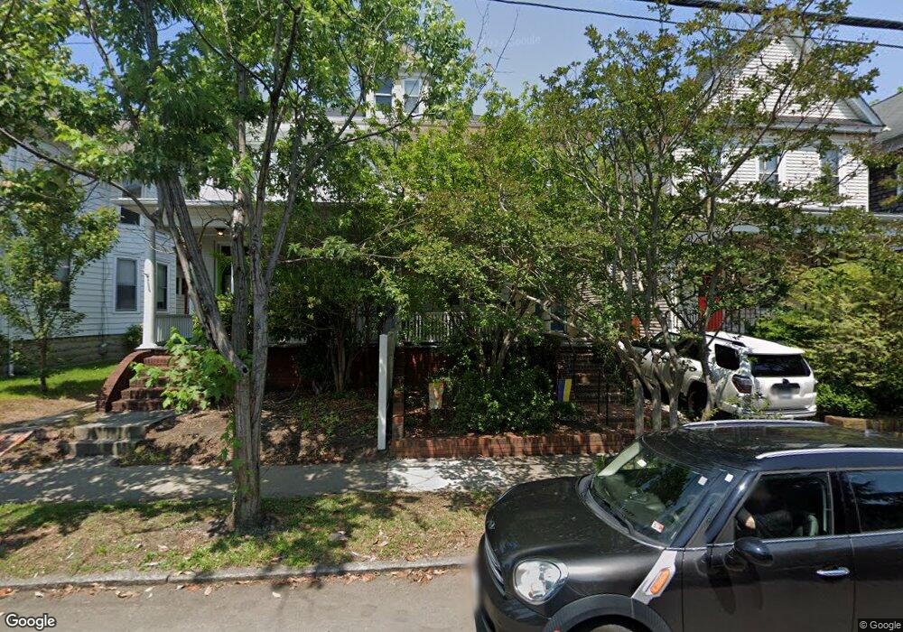
1036 Redgate Ave Norfolk, VA 23507
West Ghent NeighborhoodEstimated Value: $494,114 - $563,000
4
Beds
3
Baths
2,340
Sq Ft
$223/Sq Ft
Est. Value
About This Home
This home is located at 1036 Redgate Ave, Norfolk, VA 23507 and is currently estimated at $521,529, approximately $222 per square foot. 1036 Redgate Ave is a home located in Norfolk City with nearby schools including W.H. Taylor Elementary School, Blair Middle School, and Maury High School.
Ownership History
Date
Name
Owned For
Owner Type
Purchase Details
Closed on
Jan 19, 2019
Sold by
Fallon Frances K
Bought by
Dempsey Christopher B and Dempsey Kaitlyn N
Current Estimated Value
Home Financials for this Owner
Home Financials are based on the most recent Mortgage that was taken out on this home.
Original Mortgage
$367,740
Outstanding Balance
$323,318
Interest Rate
4.6%
Mortgage Type
VA
Estimated Equity
$198,211
Purchase Details
Closed on
Jun 20, 2018
Sold by
Fallon Frances K
Bought by
Fallon Frances K and The Frances Fallon Trust Dated May 25 20
Create a Home Valuation Report for This Property
The Home Valuation Report is an in-depth analysis detailing your home's value as well as a comparison with similar homes in the area
Home Values in the Area
Average Home Value in this Area
Purchase History
| Date | Buyer | Sale Price | Title Company |
|---|---|---|---|
| Dempsey Christopher B | $360,000 | Va Home Title & Settlements | |
| Fallon Frances K | -- | None Available |
Source: Public Records
Mortgage History
| Date | Status | Borrower | Loan Amount |
|---|---|---|---|
| Open | Dempsey Christopher B | $367,740 |
Source: Public Records
Tax History
| Year | Tax Paid | Tax Assessment Tax Assessment Total Assessment is a certain percentage of the fair market value that is determined by local assessors to be the total taxable value of land and additions on the property. | Land | Improvement |
|---|---|---|---|---|
| 2025 | $5,674 | $453,900 | $69,400 | $384,500 |
| 2024 | $5,509 | $447,900 | $69,400 | $378,500 |
| 2023 | $5,208 | $416,600 | $69,400 | $347,200 |
| 2022 | $5,040 | $403,200 | $62,300 | $340,900 |
| 2021 | $4,400 | $352,000 | $59,200 | $292,800 |
| 2020 | $4,298 | $343,800 | $59,200 | $284,600 |
| 2019 | $4,126 | $330,100 | $59,200 | $270,900 |
| 2018 | $3,210 | $256,800 | $59,200 | $197,600 |
| 2017 | $2,839 | $246,900 | $59,200 | $187,700 |
| 2016 | $2,726 | $238,800 | $59,200 | $179,600 |
| 2015 | $2,746 | $238,800 | $59,200 | $179,600 |
| 2014 | $2,746 | $238,800 | $59,200 | $179,600 |
Source: Public Records
Map
Nearby Homes
- 1008 Westover Ave Unit 6A
- 820 Westover Ave
- 805 Graydon Ave Unit 101
- 849 Baldwin Ave Unit 1C
- 1115 Colley Ave Unit A3
- 800 W Princess Anne Rd Unit C6
- 900 Colley Ave Unit 10
- 913 Spotswood Ave Unit 1
- 717 Redgate Ave
- 1024 Gates Ave Unit 6B
- 926 Brandon Ave
- 738 Shirley Ave
- 734 Shirley Ave
- 800 Gates Ave Unit C-2
- 1015 Colonial Ave Unit 4
- 1005 Colonial Ave Unit 3
- 1311 Colonial Ave Unit 5
- 1002 Colonial Ave
- 450 W Princess Anne Rd Unit 211
- 527 W 20th St Unit 404
- 1038 Redgate Ave
- 1034 Redgate Ave
- 1042 Redgate Ave
- 1042 Redgate Ave Unit 1
- 1042 Redgate Ave Unit 2
- 1032 Redgate Ave
- 1039 Westover Ave
- 1037 Westover Ave
- 912 Matoaka St Unit 5
- 912 Matoaka St Unit 3
- 912 Matoaka St Unit 6
- 912 Matoaka St Unit 1
- 912 Matoaka St Unit 4
- 912 Matoaka St Unit 2
- 1025 Westover Ave
- 1026 Redgate Ave
- 1021 Westover Ave
- 1102 Redgate Ave
- 1022 Redgate Ave
- 1019 Westover Ave
Your Personal Tour Guide
Ask me questions while you tour the home.