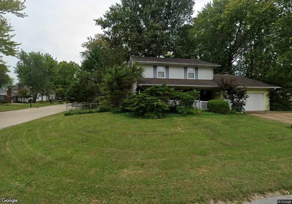
1036 Rutledge Dr Belleville, IL 62221
Estimated Value: $174,000 - $204,558
4
Beds
3
Baths
1,650
Sq Ft
$114/Sq Ft
Est. Value
About This Home
This home is located at 1036 Rutledge Dr, Belleville, IL 62221 and is currently estimated at $187,890, approximately $113 per square foot. 1036 Rutledge Dr is a home located in St. Clair County with nearby schools including Belle Valley Elementary School-North, Zion Lutheran School Belleville, and St Teresa Catholic School.
Ownership History
Date
Name
Owned For
Owner Type
Purchase Details
Closed on
Oct 2, 2009
Sold by
The Mother House Of The Hospital Sisters
Bought by
Dalusong Ludovico and Dalusong Leonora S
Current Estimated Value
Home Financials for this Owner
Home Financials are based on the most recent Mortgage that was taken out on this home.
Original Mortgage
$107,908
Outstanding Balance
$70,857
Interest Rate
5.19%
Mortgage Type
FHA
Estimated Equity
$117,033
Create a Home Valuation Report for This Property
The Home Valuation Report is an in-depth analysis detailing your home's value as well as a comparison with similar homes in the area
Home Values in the Area
Average Home Value in this Area
Purchase History
| Date | Buyer | Sale Price | Title Company |
|---|---|---|---|
| Dalusong Ludovico | -- | Benchmark Title Company |
Source: Public Records
Mortgage History
| Date | Status | Borrower | Loan Amount |
|---|---|---|---|
| Open | Dalusong Ludovico | $107,908 |
Source: Public Records
Tax History Compared to Growth
Tax History
| Year | Tax Paid | Tax Assessment Tax Assessment Total Assessment is a certain percentage of the fair market value that is determined by local assessors to be the total taxable value of land and additions on the property. | Land | Improvement |
|---|---|---|---|---|
| 2024 | $3,973 | $53,006 | $8,233 | $44,773 |
| 2023 | $4,213 | $54,658 | $8,119 | $46,539 |
| 2022 | $3,963 | $49,779 | $7,394 | $42,385 |
| 2021 | $3,898 | $47,736 | $7,091 | $40,645 |
| 2020 | $3,802 | $44,455 | $6,603 | $37,852 |
| 2019 | $3,685 | $44,079 | $6,738 | $37,341 |
| 2018 | $3,546 | $42,954 | $6,566 | $36,388 |
| 2017 | $3,451 | $41,810 | $6,391 | $35,419 |
| 2016 | $3,447 | $40,369 | $6,171 | $34,198 |
| 2014 | $3,144 | $40,953 | $7,266 | $33,687 |
| 2013 | $2,740 | $40,953 | $7,266 | $33,687 |
Source: Public Records
Map
Nearby Homes
- 405 Todd Ln
- 372 Roanoke Dr
- 1420 Vicksburg Dr
- 300 Todd Ln
- 747 Farragut Ct
- 1301 Springfield Dr
- 365 Breckenridge Dr
- 0 Denvershire Dr
- 2077 Camrose Green St
- 3300 Berwin Green Dr
- 2073 Camrose Green St
- 2069 Camrose Green St
- 3313 Denvershire Dr
- 3304 Berwin Green Dr
- 2065 Camrose Green St
- 2061 Camrose Green St
- 2057 Camrose Green St
- 2053 Camrose Green St
- 2049 Camrose Green St
- 2021 Camrose Green St
- 413 Stone River Rd
- 400 Harpers Ferry Dr
- 400 Harpers Ferry Rd
- 404 Harpers Ferry Dr
- 1037 Rutledge Dr
- 408 Stone River Rd
- 417 Stone River Rd
- 1033 Rutledge Dr
- 1101 Rutledge Dr
- 412 Stone River Rd
- 408 Harpers Ferry Rd
- 408 Harpers Ferry Dr
- 1029 Rutledge Dr
- 416 Stone River Rd
- 421 Stone River Rd
- 1105 Rutledge Dr
- 324 Mossy Creek Dr
- 401 Harpers Ferry Rd
- 412 Harpers Ferry Dr
- 1025 Rutledge Dr