1036 Saint Augustine Pkwy Locust Grove, GA 30248
Estimated Value: $270,000 - $289,000
3
Beds
3
Baths
2,209
Sq Ft
$126/Sq Ft
Est. Value
About This Home
This home is located at 1036 Saint Augustine Pkwy, Locust Grove, GA 30248 and is currently estimated at $278,056, approximately $125 per square foot. 1036 Saint Augustine Pkwy is a home located in Henry County with nearby schools including Locust Grove Elementary School, Locust Grove Middle School, and Locust Grove High School.
Ownership History
Date
Name
Owned For
Owner Type
Purchase Details
Closed on
Sep 22, 2005
Sold by
Tradewinds Cmntys Inc
Bought by
Johnson Deon
Current Estimated Value
Home Financials for this Owner
Home Financials are based on the most recent Mortgage that was taken out on this home.
Original Mortgage
$140,900
Outstanding Balance
$74,765
Interest Rate
5.72%
Mortgage Type
New Conventional
Estimated Equity
$203,291
Create a Home Valuation Report for This Property
The Home Valuation Report is an in-depth analysis detailing your home's value as well as a comparison with similar homes in the area
Home Values in the Area
Average Home Value in this Area
Purchase History
| Date | Buyer | Sale Price | Title Company |
|---|---|---|---|
| Johnson Deon | $140,900 | -- |
Source: Public Records
Mortgage History
| Date | Status | Borrower | Loan Amount |
|---|---|---|---|
| Open | Johnson Deon | $140,900 |
Source: Public Records
Tax History Compared to Growth
Tax History
| Year | Tax Paid | Tax Assessment Tax Assessment Total Assessment is a certain percentage of the fair market value that is determined by local assessors to be the total taxable value of land and additions on the property. | Land | Improvement |
|---|---|---|---|---|
| 2025 | $3,003 | $114,240 | $16,000 | $98,240 |
| 2024 | $3,003 | $110,600 | $16,000 | $94,600 |
| 2023 | $2,550 | $108,440 | $16,000 | $92,440 |
| 2022 | $2,825 | $98,320 | $16,000 | $82,320 |
| 2021 | $2,192 | $71,400 | $16,000 | $55,400 |
| 2020 | $2,089 | $67,040 | $12,000 | $55,040 |
| 2019 | $1,942 | $59,760 | $10,000 | $49,760 |
| 2018 | $1,815 | $55,280 | $9,200 | $46,080 |
| 2016 | $1,667 | $51,320 | $8,000 | $43,320 |
| 2015 | $1,568 | $47,440 | $8,000 | $39,440 |
| 2014 | $1,329 | $41,040 | $8,000 | $33,040 |
Source: Public Records
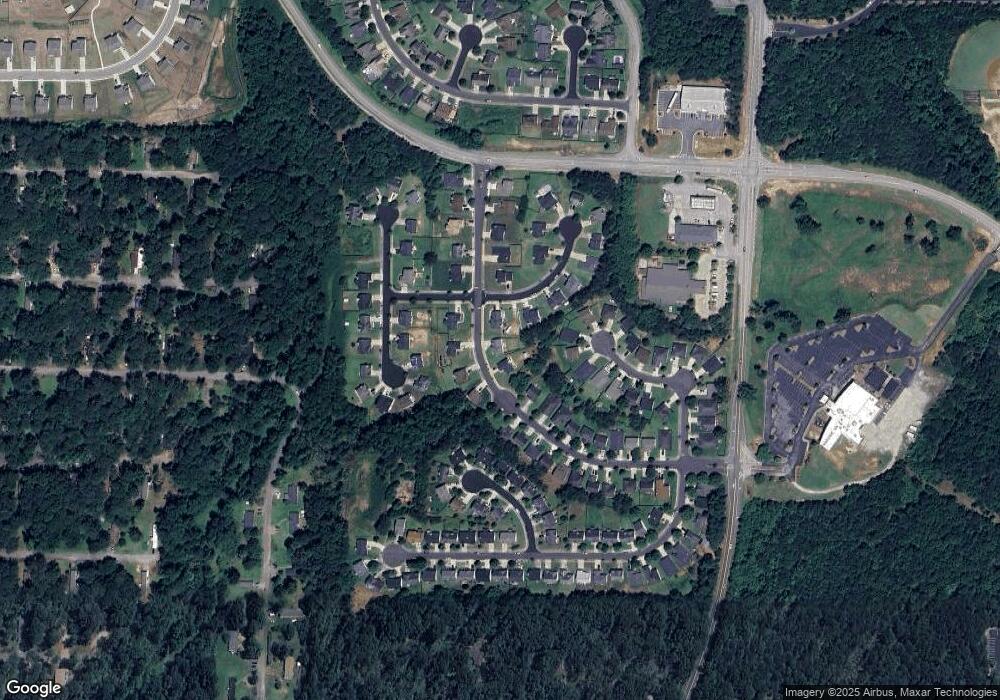
Map
Nearby Homes
- 1020 Saint Augustine Pkwy
- 1524 Queen Elizabeth Dr
- 1119 Saint Phillips Ct
- 1604 Lady Maria Ct
- 1134 Saint Phillips Ct
- 77 Rosser Ln
- 279 Indian Creek Rd
- 239 Ferguson Ave
- 150 Aster Ave
- Cali Plan at Cedar Ridge - Locust Grove Station
- Belfort Plan at Cedar Ridge - Locust Grove Station
- Galen Plan at Cedar Ridge - Locust Grove Station
- Hayden Plan at Cedar Ridge - Locust Grove Station
- Packard Plan at Cedar Ridge - Locust Grove Station
- Flora Plan at Cedar Ridge - Locust Grove Station
- Penwell Plan at Cedar Ridge - Locust Grove Station
- 315 Clover Brook Dr
- 50 Grove Rd
- 110 Ridge St
- 269 Baumgard Way
- 1034 Saint Augustine Pkwy
- 1375 Saint Isabella Ct
- 0 Saint Isabella Ct Unit 7136046
- 0 Saint Isabella Ct Unit 8115796
- 0 Saint Isabella Ct Unit 7114179
- 0 Saint Isabella Ct
- 1365 Saint Isabella Ct
- 1035 Saint Augustine Pkwy
- 1035 St Augustine Pkwy
- 0 Saint Augustine Pkwy Unit 8596419
- 0 Saint Augustine Pkwy Unit 8377225
- 0 Saint Augustine Pkwy Unit 8332775
- 0 Saint Augustine Pkwy Unit 8905872
- 0 Saint Augustine Pkwy Unit 8285949
- 0 Saint Augustine Pkwy Unit 8117004
- 0 Saint Augustine Pkwy Unit 7572607
- 0 Saint Augustine Pkwy Unit 7536258
- 0 Saint Augustine Pkwy Unit 8946890
- 0 Saint Augustine Pkwy Unit 9002498
- 0 Saint Augustine Pkwy Unit 9017538