1036 Shumard Ln McDonough, GA 30252
Estimated Value: $339,487 - $393,000
4
Beds
3
Baths
2,520
Sq Ft
$148/Sq Ft
Est. Value
About This Home
This home is located at 1036 Shumard Ln, McDonough, GA 30252 and is currently estimated at $372,622, approximately $147 per square foot. 1036 Shumard Ln is a home located in Henry County with nearby schools including Timber Ridge Elementary School, Union Grove Middle School, and Union Grove High School.
Ownership History
Date
Name
Owned For
Owner Type
Purchase Details
Closed on
Jan 13, 2017
Sold by
Reno Matt
Bought by
Stovall Jonathan
Current Estimated Value
Home Financials for this Owner
Home Financials are based on the most recent Mortgage that was taken out on this home.
Original Mortgage
$188,575
Outstanding Balance
$155,580
Interest Rate
4.16%
Mortgage Type
New Conventional
Estimated Equity
$217,042
Purchase Details
Closed on
Jun 7, 2016
Sold by
Nana L
Bought by
Reno Matt
Purchase Details
Closed on
Jun 28, 2001
Sold by
David Martin Homes Inc
Bought by
Mcswain Tony C and Mcswain Nana L
Home Financials for this Owner
Home Financials are based on the most recent Mortgage that was taken out on this home.
Original Mortgage
$136,330
Interest Rate
6.25%
Mortgage Type
New Conventional
Create a Home Valuation Report for This Property
The Home Valuation Report is an in-depth analysis detailing your home's value as well as a comparison with similar homes in the area
Home Values in the Area
Average Home Value in this Area
Purchase History
| Date | Buyer | Sale Price | Title Company |
|---|---|---|---|
| Stovall Jonathan | $198,500 | -- | |
| Reno Matt | $132,000 | -- | |
| Mcswain Tony C | $173,700 | -- |
Source: Public Records
Mortgage History
| Date | Status | Borrower | Loan Amount |
|---|---|---|---|
| Open | Stovall Jonathan | $188,575 | |
| Previous Owner | Mcswain Tony C | $136,330 |
Source: Public Records
Tax History Compared to Growth
Tax History
| Year | Tax Paid | Tax Assessment Tax Assessment Total Assessment is a certain percentage of the fair market value that is determined by local assessors to be the total taxable value of land and additions on the property. | Land | Improvement |
|---|---|---|---|---|
| 2025 | $4,260 | $141,280 | $18,000 | $123,280 |
| 2024 | $4,260 | $146,200 | $18,000 | $128,200 |
| 2023 | $3,752 | $138,400 | $18,000 | $120,400 |
| 2022 | $4,058 | $129,960 | $12,000 | $117,960 |
| 2021 | $3,423 | $103,120 | $12,000 | $91,120 |
| 2020 | $3,233 | $95,040 | $10,000 | $85,040 |
| 2019 | $3,165 | $92,160 | $10,000 | $82,160 |
| 2018 | $2,863 | $79,400 | $9,607 | $69,793 |
| 2016 | $2,705 | $68,120 | $10,000 | $58,120 |
| 2015 | $2,408 | $65,840 | $10,000 | $55,840 |
| 2014 | $2,028 | $55,720 | $8,000 | $47,720 |
Source: Public Records
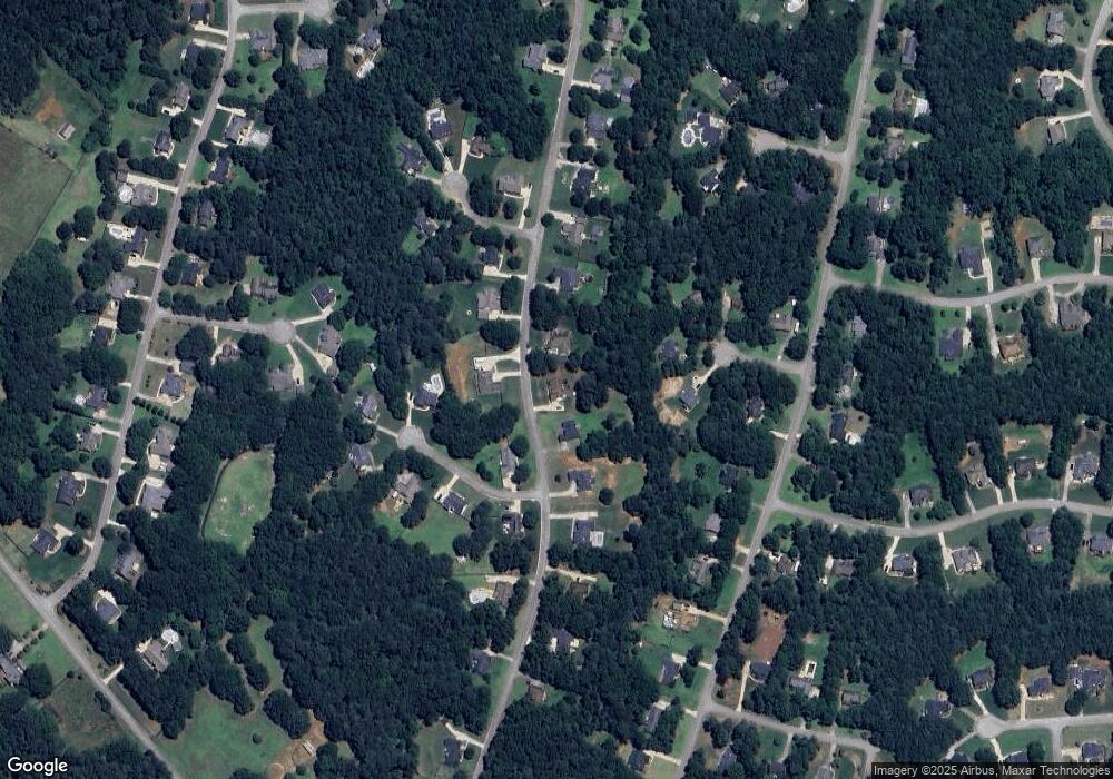
Map
Nearby Homes
- 210 Riveredge Way
- 700 Miami Ct Unit 3
- 1102 Sequoia Trail
- 1425 Shingle Way
- 200 Magnolia Ct
- 318 Dogwood Trace
- 1108 the By Way
- 501 Owens Springs Ln
- 180 Watts Lake Rd
- 1100 River Green Ct Unit 2
- 1129 River Green Ct
- 6018 Vicksburg Ct
- 0 Bellevue Dr Unit 10483100
- 604 Clearwater Ct Unit 6
- 1523 Bent River Cir
- 129 Limbaugh Valley Dr
- 505 Lupin Cir
- 504 Lupin Cir
- 1710 Crumbley Rd
- 1305 Chester Place
- 1040 Shumard Ln
- 1039 Shumard Ln
- 1028 Shumard Ln
- 1041 Shumard Ln
- 1044 Shumard Ln
- 415 Coosa Ct Unit 2
- 409 Coosa Ct
- 1210 Bur Oak Ct
- 1201 Bur Oak Ct Unit 59
- 1201 Bur Oak Ct
- 1043 Shumard Ln
- 1205 Bur Oak Ct
- 1024 Shumard Ln
- 1048 Shumard Ln
- 414 Coosa Ct
- 1215 Bur Oak Ct
- 361 River Point Dr Unit 2
- 363 River Point Dr Unit 2
- 1220 Bur Oak Ct
- 408 Coosa Ct