1036 Sprenkle Rd Spring Grove, PA 17362
Estimated Value: $1,369,211
3
Beds
1
Bath
2,705
Sq Ft
$506/Sq Ft
Est. Value
About This Home
This home is located at 1036 Sprenkle Rd, Spring Grove, PA 17362 and is currently estimated at $1,369,211, approximately $506 per square foot. 1036 Sprenkle Rd is a home located in York County with nearby schools including Spring Grove Area Middle School, Spring Grove Area High School, and St Rose Of Lima School.
Ownership History
Date
Name
Owned For
Owner Type
Purchase Details
Closed on
Jan 4, 2017
Sold by
Spring Gorge Land Group
Bought by
Zeigler Clarence R and Zeigler Janet M
Current Estimated Value
Purchase Details
Closed on
Feb 4, 2012
Sold by
Weaver Lois I
Bought by
Spring Forge Land Group
Purchase Details
Closed on
Aug 22, 2007
Sold by
Weaver Donald L and Weaver Lois I
Bought by
Spring Forge Land Group
Home Financials for this Owner
Home Financials are based on the most recent Mortgage that was taken out on this home.
Original Mortgage
$725,000
Interest Rate
6.65%
Mortgage Type
Purchase Money Mortgage
Create a Home Valuation Report for This Property
The Home Valuation Report is an in-depth analysis detailing your home's value as well as a comparison with similar homes in the area
Home Values in the Area
Average Home Value in this Area
Purchase History
| Date | Buyer | Sale Price | Title Company |
|---|---|---|---|
| Zeigler Clarence R | $37,500 | None Available | |
| Spring Forge Land Group | -- | None Available | |
| Spring Forge Land Group | $860,000 | None Available |
Source: Public Records
Mortgage History
| Date | Status | Borrower | Loan Amount |
|---|---|---|---|
| Previous Owner | Spring Forge Land Group | $725,000 |
Source: Public Records
Tax History Compared to Growth
Tax History
| Year | Tax Paid | Tax Assessment Tax Assessment Total Assessment is a certain percentage of the fair market value that is determined by local assessors to be the total taxable value of land and additions on the property. | Land | Improvement |
|---|---|---|---|---|
| 2025 | $7,680 | $231,650 | $83,070 | $148,580 |
| 2024 | $7,596 | $231,650 | $83,070 | $148,580 |
| 2023 | $7,596 | $231,650 | $83,070 | $148,580 |
| 2022 | $7,596 | $231,650 | $83,070 | $148,580 |
| 2021 | $7,266 | $231,650 | $83,070 | $148,580 |
| 2020 | $7,266 | $231,650 | $83,070 | $148,580 |
| 2019 | $7,109 | $231,650 | $83,070 | $148,580 |
| 2018 | $7,014 | $231,650 | $83,070 | $148,580 |
| 2017 | $6,910 | $233,670 | $85,090 | $148,580 |
| 2016 | $0 | $233,670 | $85,090 | $148,580 |
| 2015 | -- | $233,670 | $85,090 | $148,580 |
| 2014 | -- | $233,670 | $85,090 | $148,580 |
Source: Public Records
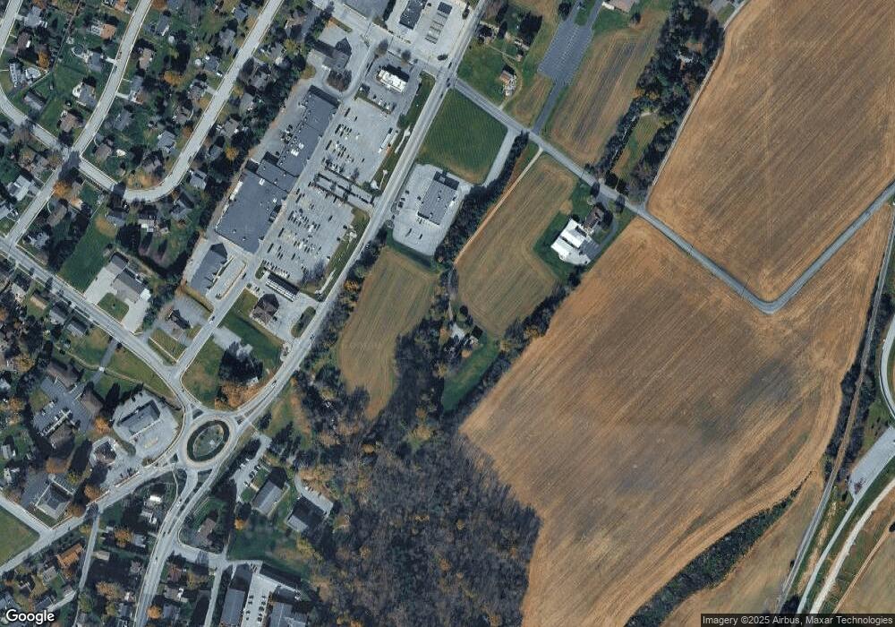
Map
Nearby Homes
- 145 N Main St
- 214 Hauer Terrace
- 540 Monocacy Trail
- St. Michaels Model 5 Monocacy Trail
- 568 Monocacy Trail
- 544 Monocacy Trail
- 46 N Main St
- 156 N Walnut St
- 562 Monocacy Trail
- 560 Monocacy Trail
- 1934 Forge Heights Ln
- 6030 Deborah Dr
- 1487 Kbs Rd
- 6132 Deborah Dr
- 1941 Cedar Dr
- 335 Cape Climb
- 160 Dolomite Dr Unit 12B
- 137 Mineral Dr Unit 30
- 1238 Knoll Dr
- 1245 Pinnacle Ct
- 409 N Main St
- 1062 Sprenkle Rd
- LOT #1 Slagel Rd (10-Acres)
- 0 N Main St
- Lt 12 Pigeon Hill Rd
- Lot Gnatstown Rd
- Tract 3 Rockville Rd
- 4508 Moulstown Rd
- 405 N Pine Ave
- 408 Monocacy Trail
- 410 Monocacy Trail
- 412 Monocacy Trail
- 0 Route 116 & Sprenkle Rd Unit PAYK129164
- 414 Monocacy Trail
- 31 W Hanover St Unit 4
- 416 Monocacy Trail
- 2005 Route 116
- 327 N Pine Ave
- 418 Monocacy Trail
- 406 Monocacy Trail