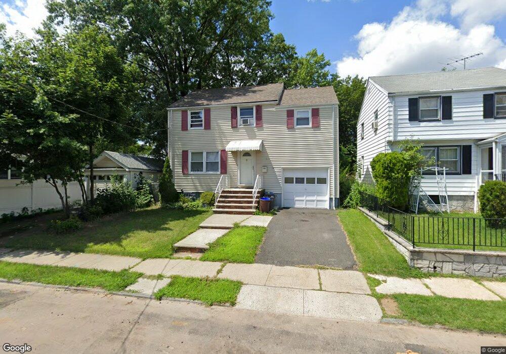
1036 Thomas St Hillside, NJ 07205
Estimated Value: $415,812 - $525,000
Studio
--
Bath
1,256
Sq Ft
$379/Sq Ft
Est. Value
About This Home
This home is located at 1036 Thomas St, Hillside, NJ 07205 and is currently estimated at $476,203, approximately $379 per square foot. 1036 Thomas St is a home located in Union County with nearby schools including Abram P. Morris-Saybrook Elementary School, Hurden Looker School, and Ola Edwards Community School.
Ownership History
Date
Name
Owned For
Owner Type
Purchase Details
Closed on
Nov 18, 2015
Sold by
Union County Sheriff
Bought by
Jajosky Edward and Jajosky Philip
Current Estimated Value
Purchase Details
Closed on
Jan 28, 2002
Sold by
Ravenell Hattie
Bought by
Ravenell Hattie and Cassandrea Russell
Purchase Details
Closed on
Jan 14, 2000
Sold by
Riascos Sonia and Guzman Sonia
Bought by
Ravenell Hattie Mae
Home Financials for this Owner
Home Financials are based on the most recent Mortgage that was taken out on this home.
Original Mortgage
$139,650
Interest Rate
7.84%
Create a Home Valuation Report for This Property
The Home Valuation Report is an in-depth analysis detailing your home's value as well as a comparison with similar homes in the area
Home Values in the Area
Average Home Value in this Area
Purchase History
| Date | Buyer | Sale Price | Title Company |
|---|---|---|---|
| Jajosky Edward | $82,000 | -- | |
| Ravenell Hattie | -- | -- | |
| Ravenell Hattie Mae | $147,000 | -- |
Source: Public Records
Mortgage History
| Date | Status | Borrower | Loan Amount |
|---|---|---|---|
| Previous Owner | Ravenell Hattie Mae | $139,650 |
Source: Public Records
Tax History
| Year | Tax Paid | Tax Assessment Tax Assessment Total Assessment is a certain percentage of the fair market value that is determined by local assessors to be the total taxable value of land and additions on the property. | Land | Improvement |
|---|---|---|---|---|
| 2025 | $9,219 | $111,700 | $60,000 | $51,700 |
| 2024 | $8,951 | $111,700 | $60,000 | $51,700 |
| 2023 | $8,951 | $111,700 | $60,000 | $51,700 |
| 2022 | $8,868 | $111,700 | $60,000 | $51,700 |
| 2021 | $8,810 | $111,700 | $60,000 | $51,700 |
| 2020 | $8,758 | $111,700 | $60,000 | $51,700 |
| 2019 | $8,589 | $111,700 | $60,000 | $51,700 |
| 2018 | $8,503 | $111,700 | $60,000 | $51,700 |
| 2017 | $8,451 | $111,700 | $60,000 | $51,700 |
| 2016 | $8,441 | $111,700 | $60,000 | $51,700 |
| 2015 | $8,366 | $111,700 | $60,000 | $51,700 |
| 2014 | $8,235 | $111,700 | $60,000 | $51,700 |
Source: Public Records
Map
Nearby Homes
- 600 Plymouth Rd
- 130 Valley View Rd
- 420 Hollywood Ave
- 128 Baltimore Ave
- 149 Baltimore Ave
- 222 Boston Ave
- 260 Millard Ave
- 345 Sanford Ave
- 1038 Fairview Place
- 985 Arnet Ave
- 359 Harvard Ave
- 969 Arnet Ave
- 386 Yale Ave
- 1018 John Glenn Dr
- 1393 Cornell Place
- 161 Virginia St
- 137 Fairbanks St
- 950 Carteret Ave
- 124 Woodruff Place
- 525 Us Highway 22
- 1038 Thomas St
- 509 Conant St
- 1040 Thomas St
- 511 Conant St
- 507 Conant St
- 1044 Thomas St
- 545 Plymouth Rd
- 535 Plymouth Rd
- 1033 Thomas St
- 1035 Thomas St
- 1029 Thomas St
- 1046 Thomas St
- 1041 Thomas St
- 547 Plymouth Rd
- 1025 Thomas St
- 1045 Thomas St
- 1050 Thomas St
- 1021 Thomas St
- 1047 Thomas St
- 549 Plymouth Rd
Your Personal Tour Guide
Ask me questions while you tour the home.