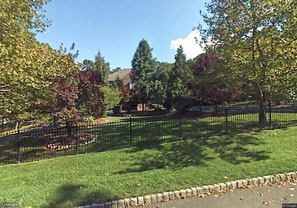
1036 Tullo Farm Rd Bridgewater, NJ 08807
Estimated Value: $1,251,000 - $1,493,363
--
Bed
--
Bath
5,147
Sq Ft
$273/Sq Ft
Est. Value
About This Home
This home is located at 1036 Tullo Farm Rd, Bridgewater, NJ 08807 and is currently estimated at $1,403,341, approximately $272 per square foot. 1036 Tullo Farm Rd is a home located in Somerset County with nearby schools including Crim Primary School, Bridgewater-Raritan Middle School, and Hillside Intermediate School.
Ownership History
Date
Name
Owned For
Owner Type
Purchase Details
Closed on
Nov 5, 1998
Sold by
Whitefield Gordon
Bought by
Rawls Duncan
Current Estimated Value
Home Financials for this Owner
Home Financials are based on the most recent Mortgage that was taken out on this home.
Original Mortgage
$435,000
Outstanding Balance
$94,116
Interest Rate
6.49%
Estimated Equity
$1,309,225
Create a Home Valuation Report for This Property
The Home Valuation Report is an in-depth analysis detailing your home's value as well as a comparison with similar homes in the area
Home Values in the Area
Average Home Value in this Area
Purchase History
| Date | Buyer | Sale Price | Title Company |
|---|---|---|---|
| Rawls Duncan | $585,000 | -- |
Source: Public Records
Mortgage History
| Date | Status | Borrower | Loan Amount |
|---|---|---|---|
| Open | Rawls Duncan | $435,000 |
Source: Public Records
Tax History Compared to Growth
Tax History
| Year | Tax Paid | Tax Assessment Tax Assessment Total Assessment is a certain percentage of the fair market value that is determined by local assessors to be the total taxable value of land and additions on the property. | Land | Improvement |
|---|---|---|---|---|
| 2025 | $24,231 | $1,234,400 | $328,500 | $905,900 |
| 2024 | $24,231 | $1,243,900 | $328,500 | $915,400 |
| 2023 | $23,104 | $1,164,500 | $328,500 | $836,000 |
| 2022 | $21,645 | $1,049,700 | $328,500 | $721,200 |
| 2021 | $21,069 | $1,015,700 | $328,500 | $687,200 |
| 2020 | $21,165 | $1,006,400 | $328,500 | $677,900 |
| 2019 | $21,069 | $992,400 | $328,500 | $663,900 |
| 2018 | $20,725 | $978,500 | $328,500 | $650,000 |
| 2017 | $20,547 | $969,200 | $328,500 | $640,700 |
| 2016 | $20,189 | $966,900 | $328,500 | $638,400 |
| 2015 | $19,937 | $955,300 | $328,500 | $626,800 |
| 2014 | $20,232 | $954,800 | $328,500 | $626,300 |
Source: Public Records
Map
Nearby Homes
- 1825 Kennesaw Way
- 7 Meyers Way
- 1930 Mountain Top Rd
- 1831 Washington Valley Rd
- 1869 Washington Valley Rd
- 114 Branch Rd
- 10 Assante Ln
- 499 Foothill Rd
- 1600 Mountain Top Rd
- 1899 Washington Valley Rd
- 1 Holmes Ct
- 112 Loft Dr Unit II112
- 61 Christy Dr
- 57 Christy Dr
- 7 Monmouth Ave
- 2044 Washington Valley Rd
- 1266 Mount Vernon Rd
- 6 Mount Horeb Rd
- 25 Chelsea Way
- 36 Somerset Ave
- 10 Black Ct
- 1044 Tullo Farm Rd
- 200 Linvale Ln
- 1047 Tullo Farm Rd
- 8 Black Ct
- 1031 Tullo Farm Rd
- 2 Linvale Ln
- 1050 Tullo Farm Rd
- 1029 Tullo Farm Rd
- 6 Black Ct
- 198 Beaumonte Way
- 1060 Tullo Farm Rd
- 1053 Tullo Farm Rd
- 3 Linvale Ln
- 4 Linvale Ln
- 1013 Severin Dr
- 4 Black Ct
- 2 Black Ct
- 196 Beaumonte Way
- 1068 Tullo Farm Rd