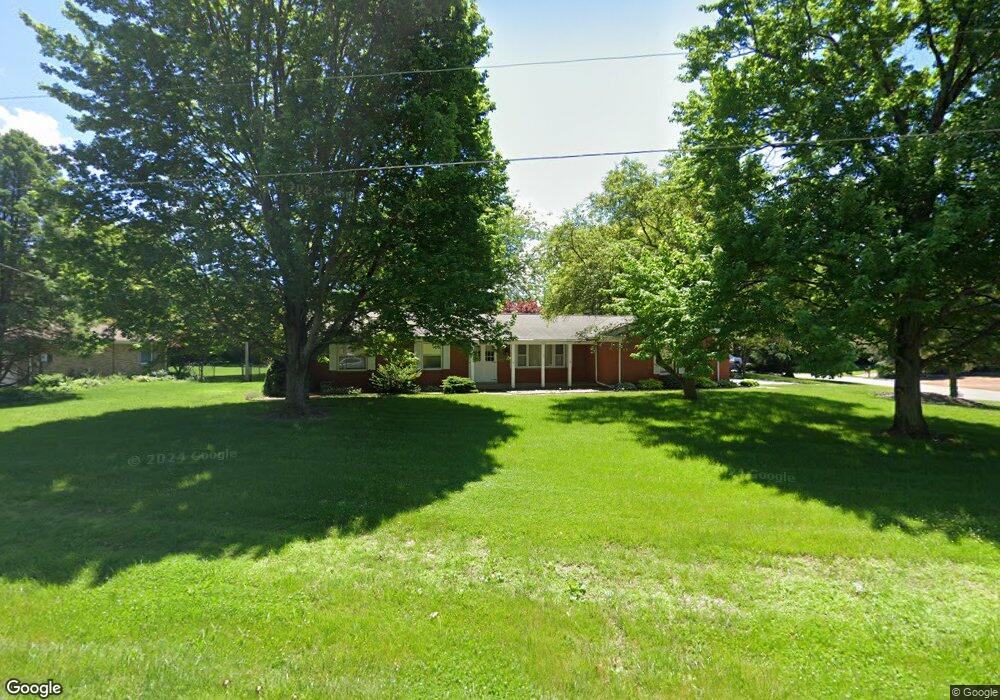
1036 W 400 S La Porte, IN 46350
Estimated Value: $279,958 - $352,000
3
Beds
2
Baths
1,596
Sq Ft
$206/Sq Ft
Est. Value
About This Home
This home is located at 1036 W 400 S, La Porte, IN 46350 and is currently estimated at $328,240, approximately $205 per square foot. 1036 W 400 S is a home located in LaPorte County with nearby schools including Kingsbury Elementary School, La Porte High School, and Kesling Intermediate School.
Ownership History
Date
Name
Owned For
Owner Type
Purchase Details
Closed on
Aug 30, 2010
Sold by
Leydens Brian D and Leydens Jennifer A
Bought by
Ortt Joseph W and Ortt Robyn A
Current Estimated Value
Home Financials for this Owner
Home Financials are based on the most recent Mortgage that was taken out on this home.
Original Mortgage
$150,000
Outstanding Balance
$99,301
Interest Rate
4.49%
Mortgage Type
New Conventional
Estimated Equity
$228,939
Create a Home Valuation Report for This Property
The Home Valuation Report is an in-depth analysis detailing your home's value as well as a comparison with similar homes in the area
Home Values in the Area
Average Home Value in this Area
Purchase History
| Date | Buyer | Sale Price | Title Company |
|---|---|---|---|
| Ortt Joseph W | -- | Fidelity Natl Title Ins Co |
Source: Public Records
Mortgage History
| Date | Status | Borrower | Loan Amount |
|---|---|---|---|
| Open | Ortt Joseph W | $150,000 |
Source: Public Records
Tax History Compared to Growth
Tax History
| Year | Tax Paid | Tax Assessment Tax Assessment Total Assessment is a certain percentage of the fair market value that is determined by local assessors to be the total taxable value of land and additions on the property. | Land | Improvement |
|---|---|---|---|---|
| 2024 | $1,532 | $179,400 | $26,800 | $152,600 |
| 2023 | $1,453 | $175,100 | $26,800 | $148,300 |
| 2022 | $1,645 | $179,800 | $26,800 | $153,000 |
| 2021 | $1,467 | $162,600 | $21,700 | $140,900 |
| 2020 | $1,424 | $162,600 | $21,700 | $140,900 |
| 2019 | $1,469 | $162,900 | $21,700 | $141,200 |
| 2018 | $1,454 | $161,100 | $21,700 | $139,400 |
| 2017 | $1,341 | $156,400 | $21,700 | $134,700 |
| 2016 | $1,349 | $163,500 | $21,700 | $141,800 |
| 2014 | $1,523 | $177,800 | $21,700 | $156,100 |
Source: Public Records
Map
Nearby Homes
- 0 S Arrowhead Ln
- 64 Green Lawn Dr
- Lot 16 S Morgan Rd
- Lot 37 S Morgan Rd
- Lot 17 S Morgan Rd
- 40 W Nowak Dr
- 41 W Nowak Dr
- 577 W Nowak Dr
- 2721 S 75 W
- 307 N Main St
- 0 W 500 S
- 242 W Powell Dr
- 0 Oakwood Dr Unit NRA812783
- 0 Pinoak Dr
- 0 E Aspen Ln
- 2108 K St
- 1006 W 21st St
- 400 W 18th St Unit A
- 3656 W Village Rd
- 1501 C St
- 1034 W 400 S
- 4043 S Oakview Dr
- 1012 W 400 S
- 4042 S Oakview Dr
- 1104 W 400 S
- 4067 S Oakview Dr
- 4056 S Oakview Dr
- 1001 W Spring Creek Trail
- 4078 S Oakview Dr
- 985 W Spring Creek Trail
- 4093 S Oakview Dr
- 976 W 400 S
- 4092 S Oakview Dr
- 967 W Spring Creek Trail
- 996 W Spring Creek Trail
- 4105 S Oakview Dr
- 943 W Spring Creek Trail
- 4088 S Spring Creek Trail
- 4104 S Oakview Dr
- 954 W 400 S