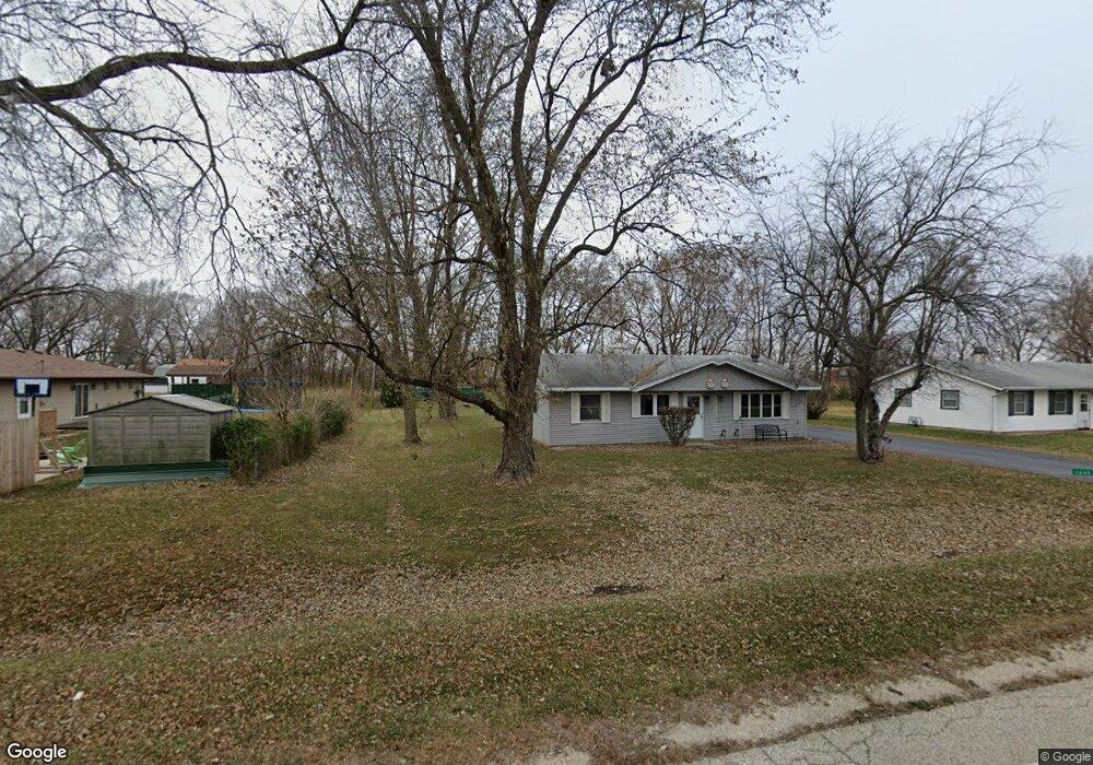
1036 W Us Route 6 Morris, IL 60450
Estimated Value: $533,000 - $631,000
--
Bed
--
Bath
2,900
Sq Ft
$201/Sq Ft
Est. Value
About This Home
This home is located at 1036 W Us Route 6, Morris, IL 60450 and is currently estimated at $583,045, approximately $201 per square foot. 1036 W Us Route 6 is a home located in Grundy County with nearby schools including Saratoga Elementary School, Morris Community High School, and Immaculate Conception School.
Ownership History
Date
Name
Owned For
Owner Type
Purchase Details
Closed on
Aug 1, 2016
Sold by
Standard Bank And Trust Company
Bought by
Dingbaum Terry
Current Estimated Value
Create a Home Valuation Report for This Property
The Home Valuation Report is an in-depth analysis detailing your home's value as well as a comparison with similar homes in the area
Home Values in the Area
Average Home Value in this Area
Purchase History
| Date | Buyer | Sale Price | Title Company |
|---|---|---|---|
| Dingbaum Terry | -- | None Available |
Source: Public Records
Tax History Compared to Growth
Tax History
| Year | Tax Paid | Tax Assessment Tax Assessment Total Assessment is a certain percentage of the fair market value that is determined by local assessors to be the total taxable value of land and additions on the property. | Land | Improvement |
|---|---|---|---|---|
| 2024 | $10,760 | $148,269 | $25,035 | $123,234 |
| 2023 | $10,115 | $139,377 | $23,534 | $115,843 |
| 2022 | $9,514 | $131,104 | $22,137 | $108,967 |
| 2021 | $9,042 | $122,734 | $20,724 | $102,010 |
| 2020 | $8,704 | $115,787 | $19,551 | $96,236 |
| 2019 | $8,648 | $115,787 | $19,551 | $96,236 |
| 2018 | $8,702 | $116,116 | $19,607 | $96,509 |
| 2017 | $8,489 | $113,660 | $19,192 | $94,468 |
| 2016 | $8,222 | $110,147 | $18,599 | $91,548 |
| 2015 | $7,902 | $108,583 | $18,335 | $90,248 |
| 2014 | $7,660 | $103,176 | $17,422 | $85,754 |
| 2013 | $7,853 | $107,130 | $18,090 | $89,040 |
Source: Public Records
Map
Nearby Homes
- 1375 Lakeside Ln
- 1466 Mollie Dr
- 1665 Schubert Dr
- 1209 Lakewood Dr Unit D
- 1445 Scott Cir
- 0000 Lakewood Dr
- 1180 Lakewood Dr
- 374 Edgewater Dr
- Lot 3,4,5,7,8 Edgewater Dr
- 1009-1011 Dupont Ave
- 1539 W Us Route 6
- 936 Thomas Dr
- 957 Thomas Dr
- 1455 Lake Dr
- 1873 Sunflower Ct
- 523 Bedford Rd
- 1301 Union St
- 00 U S 6
- 1807 Sunset Ln
- 2099 Kingtree Dr
- 1499 Lakewood Dr Unit B
- 1499 Lakewood Dr Unit G
- 1499 Lakewood Dr Unit I
- 1499 Lakewood Dr Unit E
- 1413 Michael Dr
- 1363 Michael Ct
- 1401 Michael Dr
- 1351 Michael Ct
- 1401 Lakewood Dr Unit A
- 1401 Lakewood Dr
- 1339 Michael Ct Unit 1
- 1447 Lakeside Ln
- 1389 Michael Dr
- 1327 Michael Ct
- 1327 Michael Ct Unit 1
- 1435 Lakeside Ln
- 1459 Lakeside Ln
- 1514 Creek Dr
- 1423 Lakeside Ln
- 1315 Michael Dr Unit 1315