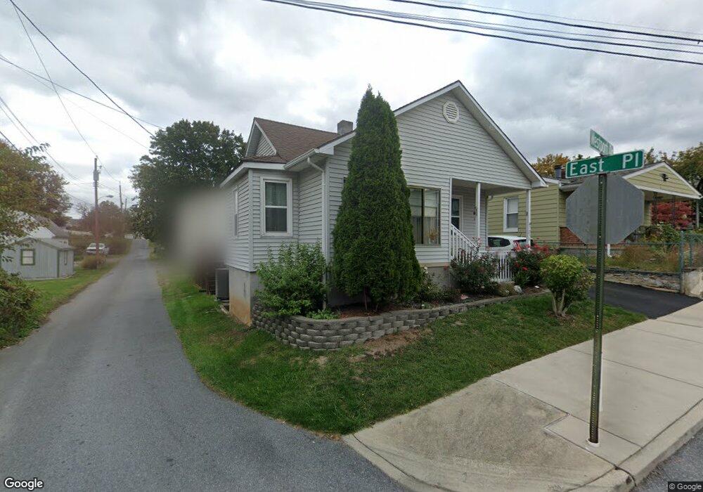
1036 Westport Dr Hagerstown, MD 21740
West End NeighborhoodEstimated Value: $108,000 - $184,000
--
Bed
1
Bath
840
Sq Ft
$173/Sq Ft
Est. Value
About This Home
This home is located at 1036 Westport Dr, Hagerstown, MD 21740 and is currently estimated at $145,079, approximately $172 per square foot. 1036 Westport Dr is a home located in Washington County with nearby schools including Salem Avenue Elementary School, Owendale-Gagetown Junior/Senior High School, and Western Heights Middle School.
Ownership History
Date
Name
Owned For
Owner Type
Purchase Details
Closed on
Jul 27, 2004
Sold by
Matthews Roni M and Matthews Mary F
Bought by
Randy Kershner
Current Estimated Value
Purchase Details
Closed on
Nov 13, 1991
Sold by
Cale Gary Allen
Bought by
Matthews Roni M and Matthews Mary F
Purchase Details
Closed on
Oct 23, 1989
Sold by
Cale Gary Allen
Bought by
Cale Gary Allen
Create a Home Valuation Report for This Property
The Home Valuation Report is an in-depth analysis detailing your home's value as well as a comparison with similar homes in the area
Home Values in the Area
Average Home Value in this Area
Purchase History
| Date | Buyer | Sale Price | Title Company |
|---|---|---|---|
| Randy Kershner | $59,900 | -- | |
| Matthews Roni M | $30,100 | -- | |
| Cale Gary Allen | $23,300 | -- |
Source: Public Records
Mortgage History
| Date | Status | Borrower | Loan Amount |
|---|---|---|---|
| Closed | Randy Kershner | -- |
Source: Public Records
Tax History Compared to Growth
Tax History
| Year | Tax Paid | Tax Assessment Tax Assessment Total Assessment is a certain percentage of the fair market value that is determined by local assessors to be the total taxable value of land and additions on the property. | Land | Improvement |
|---|---|---|---|---|
| 2025 | $833 | $100,600 | $25,500 | $75,100 |
| 2024 | $833 | $91,433 | $0 | $0 |
| 2023 | $749 | $82,267 | $0 | $0 |
| 2022 | $666 | $73,100 | $25,500 | $47,600 |
| 2021 | $728 | $72,667 | $0 | $0 |
| 2020 | $672 | $72,233 | $0 | $0 |
| 2019 | $671 | $71,800 | $25,500 | $46,300 |
| 2018 | $671 | $71,800 | $25,500 | $46,300 |
| 2017 | $671 | $71,800 | $0 | $0 |
| 2016 | -- | $75,800 | $0 | $0 |
| 2015 | $2,026 | $75,800 | $0 | $0 |
| 2014 | $2,026 | $75,800 | $0 | $0 |
Source: Public Records
Map
Nearby Homes
- 813 Lanvale St
- 831 W Washington St
- 829 W Washington St
- 44 Water St
- 14 Avalon Ave
- 415 S Burhans Blvd
- 332 S Burhans Blvd
- 70 Nottingham Rd
- 744 W Washington St
- 545 Ridge Ave
- 68 Elizabeth St
- 62 Elizabeth St
- 701 W Washington St
- 34 Elizabeth St
- 24 Madison Ave
- 212 Daycotah Ave
- 221 Devonshire Rd
- 721 George St
- 121 Winter St
- 239 Devonshire Rd
- 1032 Westport Dr
- 1038 Westport Dr
- 324 S Mont Valla Ave
- 318 S Mont Valla Ave
- 1024 Westport Dr
- 328 S Mont Valla Ave
- 1037 Westport Dr
- 312 S Mont Valla Ave
- 332 S Mont Valla Ave
- 338 S Mont Valla Ave Unit 340
- 1020 Westport Dr
- 1037 Main Ave
- 1033 Main Ave
- 1029 Main Ave
- 1025 Main Ave
- 300 S Mont Valla Ave
- 1016 Westport Dr
- 1023 Main Ave
- 1021 Main Ave
- 346 348 Mont Valla Ave