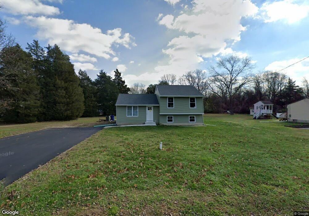
1036 Williamstown Rd Franklinville, NJ 08322
Franklin Township NeighborhoodEstimated Value: $251,891 - $334,000
--
Bed
--
Bath
1,320
Sq Ft
$232/Sq Ft
Est. Value
About This Home
This home is located at 1036 Williamstown Rd, Franklinville, NJ 08322 and is currently estimated at $306,473, approximately $232 per square foot. 1036 Williamstown Rd is a home located in Gloucester County with nearby schools including Delsea Regional Middle School, Delsea Regional High School, and St Michael The Archangel Regional School.
Ownership History
Date
Name
Owned For
Owner Type
Purchase Details
Closed on
Jun 21, 2022
Sold by
Cerino Charles F
Bought by
Cerino Chad J and Cerino Charles F
Current Estimated Value
Purchase Details
Closed on
Oct 9, 2019
Sold by
Deserable John and Deserable Denise
Bought by
Cerino Charlese F
Purchase Details
Closed on
Aug 13, 2019
Sold by
Cerino Charles F and Estate Of Charlene K Cerino
Bought by
Deserable John and Deserable Denise
Purchase Details
Closed on
Jan 30, 2009
Sold by
Cerino Charles F and Cerino Charlene K
Bought by
Cerino Charles F and Cerino Charlene K
Create a Home Valuation Report for This Property
The Home Valuation Report is an in-depth analysis detailing your home's value as well as a comparison with similar homes in the area
Home Values in the Area
Average Home Value in this Area
Purchase History
| Date | Buyer | Sale Price | Title Company |
|---|---|---|---|
| Cerino Chad J | -- | Borelli B Michael | |
| Cerino Chad J | -- | Borelli B Michael | |
| Cerino Charlese F | -- | None Available | |
| Deserable John | -- | None Available | |
| Cerino Charles F | -- | None Available |
Source: Public Records
Tax History Compared to Growth
Tax History
| Year | Tax Paid | Tax Assessment Tax Assessment Total Assessment is a certain percentage of the fair market value that is determined by local assessors to be the total taxable value of land and additions on the property. | Land | Improvement |
|---|---|---|---|---|
| 2025 | $5,100 | $133,400 | $28,200 | $105,200 |
| 2024 | $4,982 | $133,400 | $28,200 | $105,200 |
| 2023 | $4,982 | $133,400 | $28,200 | $105,200 |
| 2022 | $4,848 | $133,400 | $28,200 | $105,200 |
| 2021 | $4,781 | $133,400 | $28,200 | $105,200 |
| 2020 | $4,729 | $133,400 | $28,200 | $105,200 |
| 2019 | $4,666 | $133,400 | $28,200 | $105,200 |
| 2018 | $4,605 | $133,400 | $28,200 | $105,200 |
| 2017 | $4,520 | $133,400 | $28,200 | $105,200 |
| 2016 | $4,498 | $133,400 | $28,200 | $105,200 |
| 2015 | $4,323 | $133,400 | $28,200 | $105,200 |
| 2014 | $4,163 | $133,400 | $28,200 | $105,200 |
Source: Public Records
Map
Nearby Homes
- 141 Fries Mill Rd
- 2165 Delsea Dr
- 51 Elmer St
- 1756 Delsea Dr
- 1800 Coles Mill Rd
- 32 5th St
- 1664 Delsea Dr
- 30 2nd St
- 1780 Coles Mill Rd
- Lot 89 Delsea Dr
- 900 Delsea Dr
- 1612 Delsea Dr
- 0 Fries Mill Rd
- 0 Pennsylvania Ave
- 1586 Delsea Dr
- 124 Idle Lake Rd
- 48 Pine St
- 295 Blackwood Ave
- 595 Royal Ave
- 893 Fries Mill Rd
- 1020 Williamstown Rd
- 1040 Williamstown Rd
- 1035 Williamstown Rd
- 1046 Williamstown Rd
- 1049 Williamstown Rd
- 1003 Williamstown Rd
- 2007 Delsea Dr
- 1055 Williamstown Rd
- 1971 Delsea Dr
- 997 Williamstown Rd
- 995 Williamstown Rd
- 35 Grays Ferry Rd
- 1989 Delsea Dr Unit B
- 978 Williamstown Rd
- 2003 Delsea Dr Unit 2-4
- 2003 Delsea Dr Unit 3
- 2003 Delsea Dr
- 2001 Delsea Dr
- 983 Williamstown Rd
- 2016 Delsea Dr