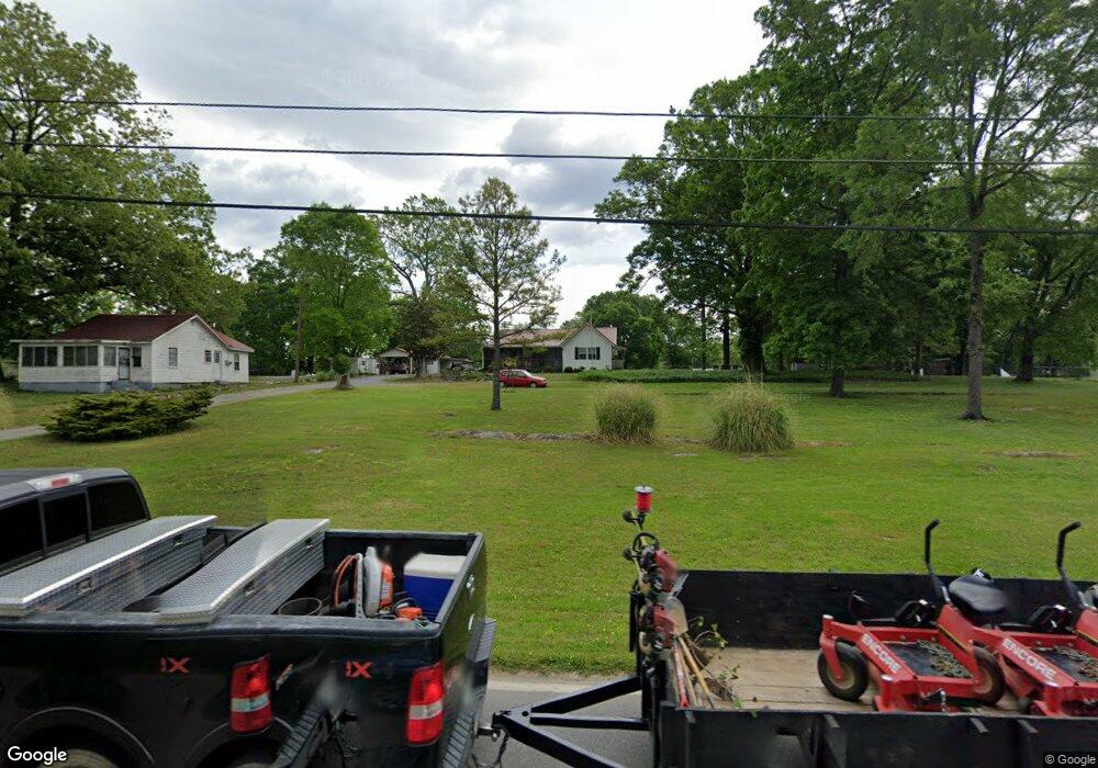
1036 Wilson Rd Rossville, GA 30741
Estimated Value: $207,000 - $239,000
--
Bed
2
Baths
1,712
Sq Ft
$129/Sq Ft
Est. Value
About This Home
This home is located at 1036 Wilson Rd, Rossville, GA 30741 and is currently estimated at $220,082, approximately $128 per square foot. 1036 Wilson Rd is a home located in Walker County with nearby schools including Rossville Elementary School, Rossville Middle School, and Ridgeland High School.
Ownership History
Date
Name
Owned For
Owner Type
Purchase Details
Closed on
Nov 5, 2004
Sold by
Womack Kent A
Bought by
Womack Jackie R and Womack Connie A
Current Estimated Value
Purchase Details
Closed on
Jan 30, 1996
Sold by
Womack Kent A and Womack Melody C
Bought by
Womack Kent A
Purchase Details
Closed on
Jun 25, 1993
Sold by
Mccuiston Dorothy Guinn
Bought by
Womack Kent A and Womack Melody C
Purchase Details
Closed on
Jun 20, 1984
Sold by
Guinn Louis L and Guinn Dorothy
Bought by
Mccuiston Dorothy Guinn
Purchase Details
Closed on
Jan 1, 1972
Bought by
Guinn Louis L and Guinn Dorothy
Create a Home Valuation Report for This Property
The Home Valuation Report is an in-depth analysis detailing your home's value as well as a comparison with similar homes in the area
Home Values in the Area
Average Home Value in this Area
Purchase History
| Date | Buyer | Sale Price | Title Company |
|---|---|---|---|
| Womack Jackie R | -- | -- | |
| Womack Kent A | $500 | -- | |
| Womack Kent A | $40,000 | -- | |
| Mccuiston Dorothy Guinn | -- | -- | |
| Guinn Louis L | -- | -- |
Source: Public Records
Tax History Compared to Growth
Tax History
| Year | Tax Paid | Tax Assessment Tax Assessment Total Assessment is a certain percentage of the fair market value that is determined by local assessors to be the total taxable value of land and additions on the property. | Land | Improvement |
|---|---|---|---|---|
| 2024 | $253 | $65,907 | $6,301 | $59,606 |
| 2023 | $287 | $62,897 | $6,301 | $56,596 |
| 2022 | $175 | $51,960 | $3,601 | $48,359 |
| 2021 | $176 | $41,759 | $3,601 | $38,158 |
| 2020 | $178 | $33,966 | $3,601 | $30,365 |
| 2019 | $178 | $27,407 | $3,601 | $23,806 |
| 2018 | $725 | $27,407 | $3,601 | $23,806 |
| 2017 | $787 | $27,407 | $3,601 | $23,806 |
| 2016 | $339 | $16,632 | $3,601 | $13,031 |
| 2015 | $547 | $24,042 | $3,680 | $20,362 |
| 2014 | $461 | $23,924 | $3,680 | $20,244 |
| 2013 | -- | $23,924 | $3,680 | $20,244 |
Source: Public Records
Map
Nearby Homes
- 1014 Wilson Rd
- 53 Charlsie Trail Unit 12
- 635 N Sherry Dr
- 5220 Fagan St
- 5343 Usher Dr
- 715 W James St
- 601 James St
- 816 Indian Ave
- 717 W James St
- 527 W Gordon Ave
- 5342 Slayton Ave
- 1014 Lee Ave
- 509 W Gordon Ave
- Lots 7 & 5 Slayton Ave
- 5413 Lee Ave
- 724 Shelly Ln
- 0 Slayton Ave Unit 1504633
- 200 W Oak St
- 126 S Liner St
- 916 Logan Ave