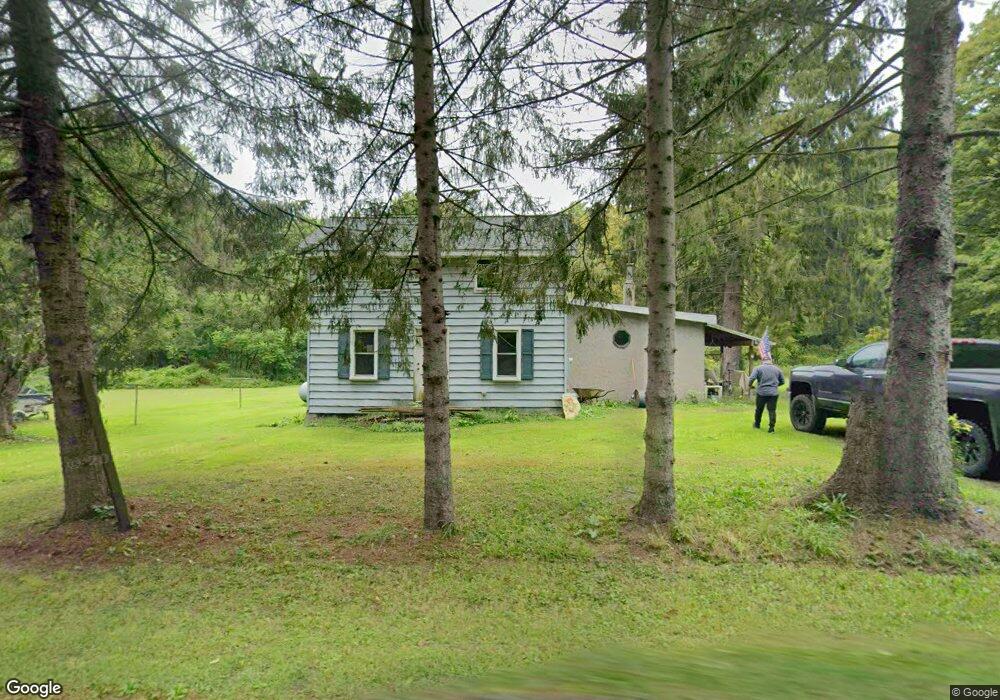
10360 Sherman Rd Cranesville, PA 16410
Estimated Value: $128,760 - $170,000
2
Beds
1
Bath
1,616
Sq Ft
$96/Sq Ft
Est. Value
About This Home
This home is located at 10360 Sherman Rd, Cranesville, PA 16410 and is currently estimated at $155,440, approximately $96 per square foot. 10360 Sherman Rd is a home located in Erie County with nearby schools including Northwestern Senior High School and Cranesville Christian Academy.
Ownership History
Date
Name
Owned For
Owner Type
Purchase Details
Closed on
Apr 29, 2005
Sold by
Wojtecki Edward G and Wojtecki Catherine M
Bought by
Wojtecki Brian E
Current Estimated Value
Home Financials for this Owner
Home Financials are based on the most recent Mortgage that was taken out on this home.
Original Mortgage
$57,600
Interest Rate
5.95%
Mortgage Type
New Conventional
Create a Home Valuation Report for This Property
The Home Valuation Report is an in-depth analysis detailing your home's value as well as a comparison with similar homes in the area
Purchase History
| Date | Buyer | Sale Price | Title Company |
|---|---|---|---|
| Wojtecki Brian E | $72,000 | -- |
Source: Public Records
Mortgage History
| Date | Status | Borrower | Loan Amount |
|---|---|---|---|
| Closed | Wojtecki Brian E | $57,600 |
Source: Public Records
Tax History
| Year | Tax Paid | Tax Assessment Tax Assessment Total Assessment is a certain percentage of the fair market value that is determined by local assessors to be the total taxable value of land and additions on the property. | Land | Improvement |
|---|---|---|---|---|
| 2025 | $1,679 | $70,980 | $21,300 | $49,680 |
| 2024 | $1,622 | $70,980 | $21,300 | $49,680 |
| 2023 | $1,477 | $70,980 | $21,300 | $49,680 |
| 2022 | $1,458 | $70,980 | $21,300 | $49,680 |
| 2021 | $1,395 | $70,980 | $21,300 | $49,680 |
| 2020 | $1,377 | $70,980 | $21,300 | $49,680 |
| 2019 | $1,352 | $70,980 | $21,300 | $49,680 |
| 2018 | $1,306 | $70,980 | $21,300 | $49,680 |
| 2017 | $1,306 | $70,980 | $21,300 | $49,680 |
| 2016 | $1,567 | $70,980 | $21,300 | $49,680 |
| 2015 | $1,549 | $70,980 | $21,300 | $49,680 |
| 2014 | $867 | $70,980 | $21,300 | $49,680 |
Source: Public Records
Map
Nearby Homes
- 10493 Linndale Ave
- 10576 & 10578 E Washington St
- 19 Thornton Ave
- 80 Park Ave
- 22 Cherry St
- 10023 Reservoir Rd
- 0 Winchester Dr Unit 178083
- 0 Winchester Dr Unit 178085
- 11120 West Rd
- Lot1 West Rd
- Lot3 West Rd
- 9749 9801 Moses Rd
- 8574 Kinsey Rd
- 10040 Peach St
- 12311 Route 6n
- 8751 Crossingville Rd
- 0 Kiefer Rd
- 0 Porky Rd
- Lot 3 Biscoff Rd
- 00 S Creek Rd Lot Unit WP001
- 10330 Sherman Rd
- 10256 Route 18
- 9140 Meadville Rd
- 10180 Meadville St
- 10435 Sherman Rd
- 10295 Route 18
- 10295 Pennsylvania 18
- 10301 Route 18
- 10301 Meadville Rd
- 10312 Route 18
- 10311 Route 18
- 10324 Route 18
- 10323 Route 18
- 10177 Meadville St
- 10327 Route 18
- 10464 Route 6n
- 10366 Pennsylvania 18
- 10175 John Williams Ave
- 10346 Route 18
- 10173 John Williams Ave
Your Personal Tour Guide
Ask me questions while you tour the home.