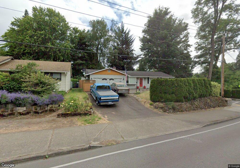
10360 SW Walnut St Portland, OR 97223
Derry Dell NeighborhoodEstimated Value: $550,000 - $581,000
3
Beds
2
Baths
1,760
Sq Ft
$324/Sq Ft
Est. Value
About This Home
This home is located at 10360 SW Walnut St, Portland, OR 97223 and is currently estimated at $569,494, approximately $323 per square foot. 10360 SW Walnut St is a home located in Washington County with nearby schools including Charles F. Tigard Elementary School, Thomas R. Fowler Middle School, and Tigard High School.
Ownership History
Date
Name
Owned For
Owner Type
Purchase Details
Closed on
Jun 11, 1997
Sold by
Snow Bonnie F and Snow Paul M
Bought by
Thomas Marc C and Thomas Carol A
Current Estimated Value
Home Financials for this Owner
Home Financials are based on the most recent Mortgage that was taken out on this home.
Original Mortgage
$158,100
Outstanding Balance
$22,624
Interest Rate
7.98%
Mortgage Type
VA
Estimated Equity
$546,870
Create a Home Valuation Report for This Property
The Home Valuation Report is an in-depth analysis detailing your home's value as well as a comparison with similar homes in the area
Home Values in the Area
Average Home Value in this Area
Purchase History
| Date | Buyer | Sale Price | Title Company |
|---|---|---|---|
| Thomas Marc C | $155,000 | Chicago Title Insurance Co |
Source: Public Records
Mortgage History
| Date | Status | Borrower | Loan Amount |
|---|---|---|---|
| Open | Thomas Marc C | $158,100 |
Source: Public Records
Tax History Compared to Growth
Tax History
| Year | Tax Paid | Tax Assessment Tax Assessment Total Assessment is a certain percentage of the fair market value that is determined by local assessors to be the total taxable value of land and additions on the property. | Land | Improvement |
|---|---|---|---|---|
| 2025 | $3,996 | $234,380 | -- | -- |
| 2024 | $3,889 | $227,560 | -- | -- |
| 2023 | $3,889 | $220,940 | $0 | $0 |
| 2022 | $3,777 | $220,940 | $0 | $0 |
| 2021 | $3,683 | $208,270 | $0 | $0 |
| 2020 | $3,572 | $202,210 | $0 | $0 |
| 2019 | $3,418 | $196,330 | $0 | $0 |
| 2018 | $3,279 | $190,620 | $0 | $0 |
| 2017 | $3,160 | $185,070 | $0 | $0 |
| 2016 | $3,018 | $179,680 | $0 | $0 |
| 2015 | $2,901 | $174,450 | $0 | $0 |
| 2014 | $2,815 | $169,370 | $0 | $0 |
Source: Public Records
Map
Nearby Homes
- 10097 SW Woodard Ln
- 10060 SW Molly Ct
- 10635 SW Watkins Place
- 12230 SW 106th Dr
- 12065 SW Karol Ct
- 11010 SW Fonner St
- 10455 SW Meadow St
- 13235 SW Ash Dr
- 10200 SW Tigard St
- 10985 SW Mira Ct
- 13465 SW 107th Ave
- 12393 SW 114th Terrace
- 12557 SW 115th Ave
- 11220 SW Buffalo Place
- 11355 SW 97th Ct
- 11464 SW 96th Ave
- 11287 SW 112th Ave
- 12370 SW 121st Ave
- 11044 SW Greenburg Rd Unit 321
- 13154 SW 121st Ave
- 10330 SW Walnut St
- 12540 SW Pathfinder Ct
- 12575 SW Watkins Ave
- 12515 SW Pathfinder Ct
- 12535 SW Watkins Ave
- 12560 SW Pathfinder Ct
- 12615 SW Watkinsav
- 12535 SW Pathfinder Ct
- 12595 SW Brookside Ave
- 12655 SW Watkins Ave
- 12555 SW Pathfinder Ct
- 12604 SW Pathfinder Ct
- 12575 SW Pathfinder Ct
- 12695 SW Watkins Ave
- 12575 SW Brookside Ave
- 12687 SW Watkins Ave
- 10260 SW Brookside Ct
- 10270 SW Walnut St
- 12660 SW Watkins Ave
- 12595 SW Pathfinder Ct