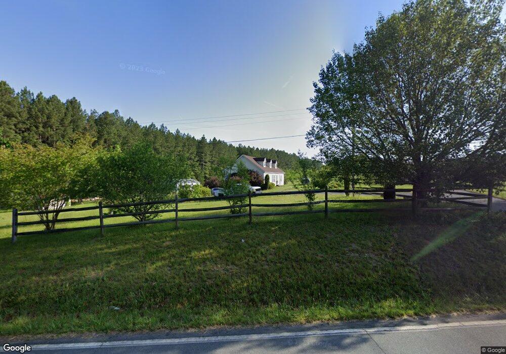
10361 Reed Mine Rd Midland, NC 28107
Estimated Value: $308,000 - $333,000
3
Beds
2
Baths
1,596
Sq Ft
$199/Sq Ft
Est. Value
About This Home
This home is located at 10361 Reed Mine Rd, Midland, NC 28107 and is currently estimated at $318,333, approximately $199 per square foot. 10361 Reed Mine Rd is a home located in Cabarrus County with nearby schools including Bethel Elementary School, C.C. Griffin Middle School, and Central Cabarrus High School.
Ownership History
Date
Name
Owned For
Owner Type
Purchase Details
Closed on
Jun 7, 2002
Sold by
Williams Robert Allen and Williams Kathy Cress
Bought by
Fuller Wanda J and Williams Nicholas
Current Estimated Value
Home Financials for this Owner
Home Financials are based on the most recent Mortgage that was taken out on this home.
Original Mortgage
$104,600
Interest Rate
6.77%
Mortgage Type
Construction
Create a Home Valuation Report for This Property
The Home Valuation Report is an in-depth analysis detailing your home's value as well as a comparison with similar homes in the area
Home Values in the Area
Average Home Value in this Area
Purchase History
| Date | Buyer | Sale Price | Title Company |
|---|---|---|---|
| Fuller Wanda J | -- | -- |
Source: Public Records
Mortgage History
| Date | Status | Borrower | Loan Amount |
|---|---|---|---|
| Closed | Fuller Wanda J | $104,600 |
Source: Public Records
Tax History Compared to Growth
Tax History
| Year | Tax Paid | Tax Assessment Tax Assessment Total Assessment is a certain percentage of the fair market value that is determined by local assessors to be the total taxable value of land and additions on the property. | Land | Improvement |
|---|---|---|---|---|
| 2025 | $1,884 | $282,860 | $63,120 | $219,740 |
| 2024 | $1,884 | $282,860 | $63,120 | $219,740 |
| 2023 | $1,320 | $158,620 | $31,560 | $127,060 |
| 2022 | $1,320 | $158,620 | $31,560 | $127,060 |
| 2021 | $1,320 | $158,620 | $31,560 | $127,060 |
| 2020 | $1,274 | $153,170 | $31,560 | $121,610 |
| 2019 | $1,134 | $136,350 | $41,030 | $95,320 |
| 2018 | $1,107 | $136,350 | $41,030 | $95,320 |
| 2017 | $1,080 | $136,350 | $41,030 | $95,320 |
| 2016 | $1,080 | $125,350 | $34,720 | $90,630 |
| 2015 | $993 | $125,350 | $34,720 | $90,630 |
| 2014 | $993 | $125,350 | $34,720 | $90,630 |
Source: Public Records
Map
Nearby Homes
- 10791 Hartsell Rd
- 10130 Reed Mine Rd
- 6827 England Rd
- 11732 Glenwood Dr
- 11788 Glenwood Dr Unit 56
- 6168 Busch Way
- 10620 U S 601
- The Benson II Plan at Pine Bluff
- The McGinnis Plan at Pine Bluff
- The James Plan at Pine Bluff
- The Langford Plan at Pine Bluff
- The Lancaster Plan at Pine Bluff
- The Harrington Plan at Pine Bluff
- The Phoenix Plan at Pine Bluff
- The Avery Plan at Pine Bluff
- The Coleman Plan at Pine Bluff
- 6308 Honor Ave
- 6336 Busch Way
- 4207 Amanda Dr
- 12124 Muscadine Ct
- 10420 Reed Mine Rd
- 10379 Reed Mine Rd
- Lot 5 Reed Mine Rd
- Lot 5 Reed Mine Rd Unit Lot 5
- 10201 Reed Mine Rd
- 10201 Reed Mine Rd Unit 5
- Lot 4 Reed Mine Rd
- Lot 4 Reed Mine Rd Unit LOt 4
- Lot 2 Reed Mine Rd
- Lot 2 Reed Mine Rd Unit Lot 2
- 10111 Reed Mine Rd
- 0 Hartsell Rd
- 00 Hartsell Rd
- 10451 Reed Mine Rd
- 10175 Reed Mine Rd
- 10075 Reed Mine Rd Unit 1
- 10120 Reed Mine Rd
- 10180 Reed Mine Rd
- 10225 Hartsell Rd
- 9913 Reed Mine Rd