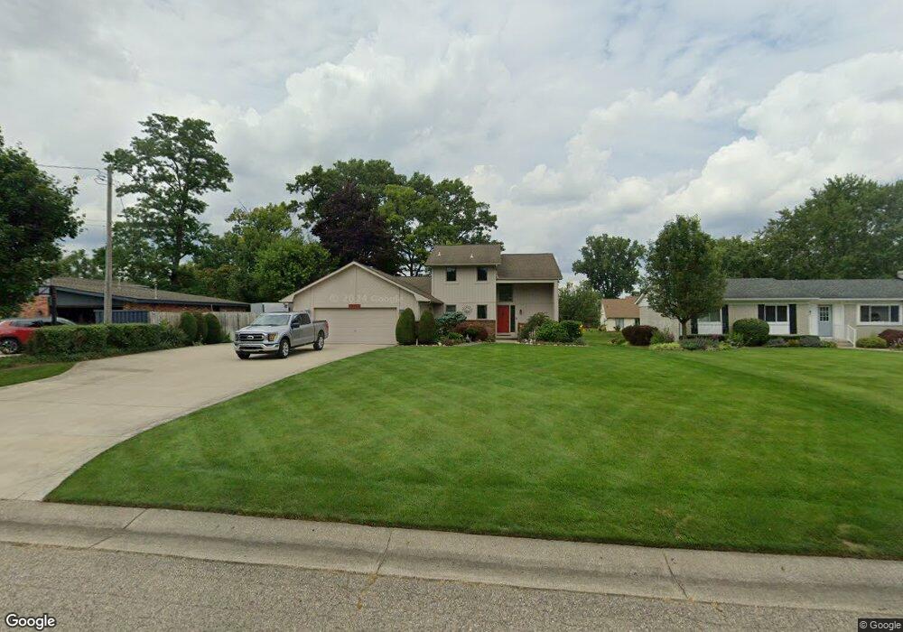
10366 Cedar Point Dr White Lake, MI 48386
Estimated Value: $546,596 - $640,000
3
Beds
3
Baths
1,740
Sq Ft
$335/Sq Ft
Est. Value
About This Home
This home is located at 10366 Cedar Point Dr, White Lake, MI 48386 and is currently estimated at $583,149, approximately $335 per square foot. 10366 Cedar Point Dr is a home located in Oakland County with nearby schools including St. Patrick School.
Ownership History
Date
Name
Owned For
Owner Type
Purchase Details
Closed on
Jul 17, 2025
Sold by
Fader G Patrick G and Fader Utani
Bought by
G Patrick Fader And Utani Fader Living Trust and Fader
Current Estimated Value
Purchase Details
Closed on
Jun 29, 1995
Sold by
Fenske James R
Bought by
Fader Patrick G and Fader Utani
Home Financials for this Owner
Home Financials are based on the most recent Mortgage that was taken out on this home.
Original Mortgage
$115,000
Interest Rate
7.51%
Mortgage Type
New Conventional
Create a Home Valuation Report for This Property
The Home Valuation Report is an in-depth analysis detailing your home's value as well as a comparison with similar homes in the area
Home Values in the Area
Average Home Value in this Area
Purchase History
| Date | Buyer | Sale Price | Title Company |
|---|---|---|---|
| G Patrick Fader And Utani Fader Living Trust | -- | None Listed On Document | |
| Fader Patrick G | $240,000 | -- |
Source: Public Records
Mortgage History
| Date | Status | Borrower | Loan Amount |
|---|---|---|---|
| Previous Owner | Fader Patrick G | $115,000 |
Source: Public Records
Tax History Compared to Growth
Tax History
| Year | Tax Paid | Tax Assessment Tax Assessment Total Assessment is a certain percentage of the fair market value that is determined by local assessors to be the total taxable value of land and additions on the property. | Land | Improvement |
|---|---|---|---|---|
| 2024 | $3,134 | $278,940 | $0 | $0 |
| 2023 | $2,990 | $244,760 | $0 | $0 |
| 2022 | $4,660 | $227,520 | $0 | $0 |
| 2021 | $4,327 | $223,320 | $0 | $0 |
| 2020 | $2,737 | $221,130 | $0 | $0 |
| 2019 | $4,210 | $213,620 | $0 | $0 |
| 2018 | $4,116 | $197,580 | $0 | $0 |
| 2017 | $3,953 | $197,580 | $0 | $0 |
| 2016 | $3,958 | $192,840 | $0 | $0 |
| 2015 | -- | $179,910 | $0 | $0 |
| 2014 | -- | $157,270 | $0 | $0 |
| 2011 | -- | $118,180 | $0 | $0 |
Source: Public Records
Map
Nearby Homes
- 10023 Cedar Shores
- 00 Coledale Dr
- 9924 Burgess Ct
- 10379 Northridge Ct
- 10332 Northridge Ct
- 9885 Cedar Island Rd
- 000 Lakeview Dr
- 0000 Lakeview Dr
- 1272 Bayview
- 227 Bramble Brae St
- 508 Woodstone Ct
- 1225 Grove Point Dr
- 9526 Cedar Island Rd
- 9495 Garforth Dr
- VAC Fieldcrest Meadows Crt
- 9333 Beechcrest St
- 1 Union Lake Rd
- 0000 Union Lake Rd
- 315 Tower Rd
- 9439 Garforth St
- 10386 Cedar Point Dr
- 10365 Degrand St
- 10400 Cedar Point Dr
- 10379 Degrand St
- 10347 Degrand St
- 10340 Cedar Point Dr
- 10401 Degrand St
- 10410 Cedar Point Dr
- 10320 Cedar Point Dr
- 10387 Cedar Point Dr
- 10365 Cedar Point Dr
- 10399 Cedar Point Dr Unit Bldg-Unit
- 10399 Cedar Point Dr
- 10413 Degrand St
- 10352 Degrand St
- 10300 Cedar Point Dr
- 10345 Cedar Point Dr
- 10321 Cedar Point Dr
- 587 Washington Blvd
- 10411 Cedar Point Dr