10367 Cavey Ln Woodstock, MD 21163
Woodstock NeighborhoodEstimated Value: $629,000 - $851,296
4
Beds
4
Baths
3,072
Sq Ft
$254/Sq Ft
Est. Value
About This Home
This home is located at 10367 Cavey Ln, Woodstock, MD 21163 and is currently estimated at $781,574, approximately $254 per square foot. 10367 Cavey Ln is a home located in Howard County with nearby schools including Waverly Elementary School, Mount View Middle School, and Marriotts Ridge High School.
Ownership History
Date
Name
Owned For
Owner Type
Purchase Details
Closed on
Jan 9, 2008
Sold by
Holley R Lynn
Bought by
Holley Robert L Tr and Holley Linda P Tr
Current Estimated Value
Purchase Details
Closed on
May 11, 2007
Sold by
Holley R Lynn
Bought by
Holley Robert L Tr and Holley Linda P Tr
Purchase Details
Closed on
Oct 18, 1982
Sold by
Zile Russell W
Bought by
Holley R Lynn
Home Financials for this Owner
Home Financials are based on the most recent Mortgage that was taken out on this home.
Original Mortgage
$107,000
Interest Rate
14.6%
Create a Home Valuation Report for This Property
The Home Valuation Report is an in-depth analysis detailing your home's value as well as a comparison with similar homes in the area
Home Values in the Area
Average Home Value in this Area
Purchase History
| Date | Buyer | Sale Price | Title Company |
|---|---|---|---|
| Holley Robert L Tr | -- | -- | |
| Holley Robert L Tr | -- | -- | |
| Holley R Lynn | $157,000 | -- |
Source: Public Records
Mortgage History
| Date | Status | Borrower | Loan Amount |
|---|---|---|---|
| Previous Owner | Holley R Lynn | $107,000 |
Source: Public Records
Tax History Compared to Growth
Tax History
| Year | Tax Paid | Tax Assessment Tax Assessment Total Assessment is a certain percentage of the fair market value that is determined by local assessors to be the total taxable value of land and additions on the property. | Land | Improvement |
|---|---|---|---|---|
| 2025 | $8,826 | $639,800 | $0 | $0 |
| 2024 | $8,826 | $601,800 | $259,000 | $342,800 |
| 2023 | $8,593 | $596,400 | $0 | $0 |
| 2022 | $8,479 | $591,000 | $0 | $0 |
| 2021 | $8,079 | $585,600 | $242,800 | $342,800 |
| 2020 | $8,079 | $561,467 | $0 | $0 |
| 2019 | $7,751 | $537,333 | $0 | $0 |
| 2018 | $7,042 | $513,200 | $216,300 | $296,900 |
| 2017 | $6,879 | $513,200 | $0 | $0 |
| 2016 | -- | $492,067 | $0 | $0 |
| 2015 | -- | $481,500 | $0 | $0 |
| 2014 | -- | $481,500 | $0 | $0 |
Source: Public Records
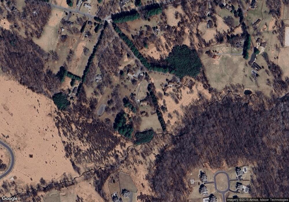
Map
Nearby Homes
- 1575 Grooms Ln
- 10655 Breezewood Dr
- 1800 Mount Denali Dr
- 10715 Taylor Farm Rd
- 10816 Acme Ave
- 10225 Green Clover Dr
- 10604 Ashford Way
- 2133 Bexley Dr
- 2208 Merion Pond
- 1 Pine Hill Ct
- 11054 Chambers Ct
- 2130 Ganton Green Unit 101
- 2111 Ganton Green
- 2115 Ganton Green Unit G106
- 2115 Ganton Green Unit G209
- 10311 Winstead Ct
- 10209 Wetherburn Rd
- 11100 Chambers Ct Unit C
- 11100 Chambers Ct Unit K
- 11110 Chambers Ct Unit A
- 10369 Cavey Ln
- 10365 Cavey Ln
- 10373 Cavey Ln
- 10375 Cavey Ln
- 1847 Davis Branch Rd
- 10379 Cavey Ln
- 0 Saddlebrook Farm Trail Unit 1005691262
- 0 Saddlebrook Farm Trail Unit HW7609302
- 0 Saddlebrook Farm Trail Unit HW7609269
- LOT 2 Saddlebrook Farm Trail
- LOT 12 Saddlebrook Farm Trail
- 0 Saddlebrook Farm Trail Unit 1008712378
- 0 Saddlebrook Farm Trail Unit 1008712356
- 0 Saddlebrook Farm Trail Unit 1008711934
- 0 Saddlebrook Farm Trail Unit 1008711926
- 0 Saddlebrook Farm Trail Unit 1008711826
- 0 Saddlebrook Farm Trail Unit 1008711806
- 0 Saddlebrook Farm Trail Unit 1008711742
- 0 Saddlebrook Farm Trail Unit 1008680350
- 0 Saddlebrook Farm Trail Unit 1008680276