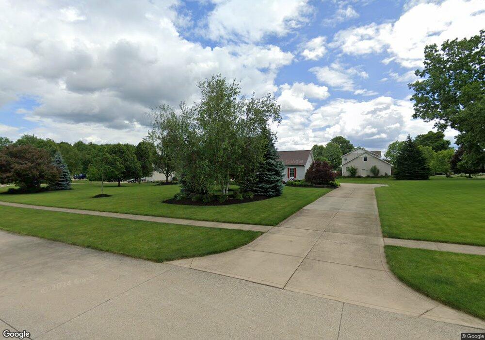
10369 Clear Brook Cir Wadsworth, OH 44281
Estimated Value: $466,496 - $542,000
4
Beds
3
Baths
2,762
Sq Ft
$183/Sq Ft
Est. Value
About This Home
This home is located at 10369 Clear Brook Cir, Wadsworth, OH 44281 and is currently estimated at $505,374, approximately $182 per square foot. 10369 Clear Brook Cir is a home located in Medina County with nearby schools including Franklin Elementary School, Central Intermediate School, and Wadsworth Middle School.
Ownership History
Date
Name
Owned For
Owner Type
Purchase Details
Closed on
Jun 15, 2000
Sold by
Gospodinsky Kimbra A and Gospodinsky Kimbra A
Bought by
Cummings Jeffrey and Cummings Kimberly A
Current Estimated Value
Purchase Details
Closed on
Jun 7, 2000
Sold by
Gospodinsky Jeffrey A
Bought by
Cummings Jeffrey and Cummings Kimberly A
Purchase Details
Closed on
Sep 13, 1996
Sold by
Galehouse John S
Bought by
Gospodinsky Jeffrey A and Gospodinsky Kimbra A
Create a Home Valuation Report for This Property
The Home Valuation Report is an in-depth analysis detailing your home's value as well as a comparison with similar homes in the area
Home Values in the Area
Average Home Value in this Area
Purchase History
| Date | Buyer | Sale Price | Title Company |
|---|---|---|---|
| Cummings Jeffrey | $22,000 | Guardian Title | |
| Cummings Jeffrey | $22,000 | Guardian Title | |
| Gospodinsky Jeffrey A | $29,000 | -- |
Source: Public Records
Tax History Compared to Growth
Tax History
| Year | Tax Paid | Tax Assessment Tax Assessment Total Assessment is a certain percentage of the fair market value that is determined by local assessors to be the total taxable value of land and additions on the property. | Land | Improvement |
|---|---|---|---|---|
| 2024 | $5,382 | $122,590 | $30,070 | $92,520 |
| 2023 | $5,382 | $122,590 | $30,070 | $92,520 |
| 2022 | $5,401 | $122,590 | $30,070 | $92,520 |
| 2021 | $5,352 | $102,150 | $25,050 | $77,100 |
| 2020 | $4,871 | $102,150 | $25,050 | $77,100 |
| 2019 | $4,880 | $102,150 | $25,050 | $77,100 |
| 2018 | $4,399 | $86,300 | $22,970 | $63,330 |
| 2017 | $4,401 | $86,300 | $22,970 | $63,330 |
| 2016 | $4,488 | $86,300 | $22,970 | $63,330 |
| 2015 | $4,399 | $80,660 | $21,470 | $59,190 |
| 2014 | $4,161 | $80,660 | $21,470 | $59,190 |
| 2013 | $4,165 | $80,660 | $21,470 | $59,190 |
Source: Public Records
Map
Nearby Homes
- 243 Chelley Ln
- 1014 Marissa Dr
- 1008 Barn Swallow Cir
- 970 Eastern Rd
- Amberwood Plan at Mount Eaton Estates - Mount Eaton Estates
- Newberry Plan at Mount Eaton Estates - Mount Eaton Estates
- Ascend Plan at Mount Eaton Estates - Mount Eaton Estates
- Aspire Plan at Mount Eaton Estates - Mount Eaton Estates
- Fairview Plan at Mount Eaton Estates - Mount Eaton Estates
- Mercer Plan at Mount Eaton Estates - Mount Eaton Estates
- Continental Plan at Mount Eaton Estates - Mount Eaton Estates
- Boardwalk Plan at Mount Eaton Estates - Mount Eaton Estates
- 220 Country Meadow Ln
- 10091 Dale Dr
- 877 Chardoney Dr
- 195 Johnson Rd
- 678 Wall Rd
- 9900 Homestead Rd
- 595 Jessica Ln
- 499 Main St
- 10367 Clear Brook Cir
- 10388 Golden Ridge Dr
- 10390 Clear Brook Cir
- 10370 Clear Brook Cir
- 10402 Clear Brook Cir
- 10423 Clear Brook Cir
- 10363 Clear Brook Cir
- 10397 Golden Ridge Dr
- 10384 Golden Ridge Dr
- 10362 Clear Brook Cir
- 10389 Golden Ridge Dr
- 10359 Clear Brook Cir
- 10414 Clear Brook Cir
- 10352 Golden Ridge Dr
- 10360 Golden Ridge Dr
- 10356 Clear Brook Cir
- 10338 Golden Ridge Dr
- 10382 Golden Ridge Dr
- 10387 Golden Ridge Dr
- 10330 Golden Ridge Dr