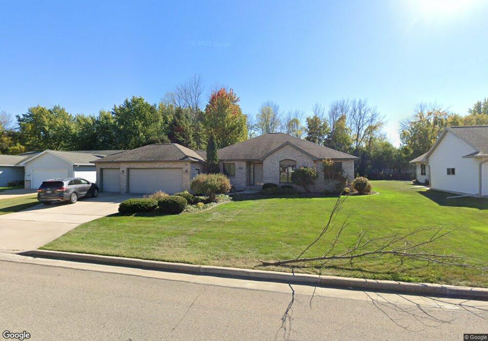
1037 9th St Menasha, WI 54952
Estimated Value: $364,000 - $383,000
3
Beds
4
Baths
1,884
Sq Ft
$197/Sq Ft
Est. Value
About This Home
This home is located at 1037 9th St, Menasha, WI 54952 and is currently estimated at $370,483, approximately $196 per square foot. 1037 9th St is a home located in Winnebago County with nearby schools including Menasha High School, St. John the Baptist School, and St. Mary Elementary School.
Ownership History
Date
Name
Owned For
Owner Type
Purchase Details
Closed on
Aug 28, 2025
Sold by
Drinkwine Perry Lee and Drinkwine Barbara Joan
Bought by
Drinkwine Brent and Drinkwine Maristela
Current Estimated Value
Home Financials for this Owner
Home Financials are based on the most recent Mortgage that was taken out on this home.
Original Mortgage
$308,000
Outstanding Balance
$308,000
Interest Rate
6.75%
Mortgage Type
New Conventional
Estimated Equity
$62,483
Create a Home Valuation Report for This Property
The Home Valuation Report is an in-depth analysis detailing your home's value as well as a comparison with similar homes in the area
Home Values in the Area
Average Home Value in this Area
Purchase History
| Date | Buyer | Sale Price | Title Company |
|---|---|---|---|
| Drinkwine Brent | $350,000 | None Listed On Document |
Source: Public Records
Mortgage History
| Date | Status | Borrower | Loan Amount |
|---|---|---|---|
| Open | Drinkwine Brent | $308,000 |
Source: Public Records
Tax History Compared to Growth
Tax History
| Year | Tax Paid | Tax Assessment Tax Assessment Total Assessment is a certain percentage of the fair market value that is determined by local assessors to be the total taxable value of land and additions on the property. | Land | Improvement |
|---|---|---|---|---|
| 2024 | $6,191 | $348,100 | $37,500 | $310,600 |
| 2023 | $5,866 | $255,700 | $31,000 | $224,700 |
| 2022 | $5,682 | $255,700 | $31,000 | $224,700 |
| 2021 | $5,500 | $242,000 | $31,000 | $211,000 |
| 2020 | $5,593 | $219,600 | $31,000 | $188,600 |
| 2019 | $5,216 | $219,600 | $31,000 | $188,600 |
| 2018 | $4,863 | $182,600 | $29,600 | $153,000 |
| 2017 | $4,808 | $182,600 | $29,600 | $153,000 |
| 2016 | $4,726 | $182,600 | $29,600 | $153,000 |
| 2015 | $4,829 | $182,600 | $29,600 | $153,000 |
| 2014 | $4,802 | $182,600 | $29,600 | $153,000 |
| 2013 | $4,854 | $182,600 | $29,600 | $153,000 |
Source: Public Records
Map
Nearby Homes
- 845 Woodland Dr
- 910 Meadowview Dr
- 1269 Manitowoc Rd
- 969 7th St Unit A
- 1040 Grove St
- 1208 Grove St
- 1103 Stead Dr
- 1236 Meadowview Dr
- 945 Brighton Dr
- 887 W Airport Rd
- 1022 Goss Ave
- 811 Appleton Rd
- 1723 Plank Rd
- 802 9th St
- 871 Plank Rd
- 1307 Wittmann Park Ln
- 995 Brighton Dr
- 1079 Bartlein Ct
- 717 Lincoln St
- 1025 Oneida St