1037 Bradford Dr Unit 43 Springfield, OH 45503
Estimated Value: $169,000 - $209,000
2
Beds
2
Baths
1,300
Sq Ft
$150/Sq Ft
Est. Value
About This Home
This home is located at 1037 Bradford Dr Unit 43, Springfield, OH 45503 and is currently estimated at $194,475, approximately $149 per square foot. 1037 Bradford Dr Unit 43 is a home located in Clark County with nearby schools including Rolling Hills Elementary School, Northridge Middle School, and Kenton Ridge Middle & High School.
Ownership History
Date
Name
Owned For
Owner Type
Purchase Details
Closed on
Feb 26, 2015
Sold by
Young Betty
Bought by
Riggs Marilyn J
Current Estimated Value
Purchase Details
Closed on
Sep 7, 2001
Sold by
Baker Lois A
Bought by
Phillips Nettie E
Home Financials for this Owner
Home Financials are based on the most recent Mortgage that was taken out on this home.
Original Mortgage
$77,600
Interest Rate
7.03%
Create a Home Valuation Report for This Property
The Home Valuation Report is an in-depth analysis detailing your home's value as well as a comparison with similar homes in the area
Home Values in the Area
Average Home Value in this Area
Purchase History
| Date | Buyer | Sale Price | Title Company |
|---|---|---|---|
| Riggs Marilyn J | $90,000 | Attorney | |
| Phillips Nettie E | $97,000 | -- |
Source: Public Records
Mortgage History
| Date | Status | Borrower | Loan Amount |
|---|---|---|---|
| Previous Owner | Phillips Nettie E | $77,600 |
Source: Public Records
Tax History Compared to Growth
Tax History
| Year | Tax Paid | Tax Assessment Tax Assessment Total Assessment is a certain percentage of the fair market value that is determined by local assessors to be the total taxable value of land and additions on the property. | Land | Improvement |
|---|---|---|---|---|
| 2024 | $1,594 | $38,880 | $6,300 | $32,580 |
| 2023 | $1,594 | $38,880 | $6,300 | $32,580 |
| 2022 | $1,600 | $38,880 | $6,300 | $32,580 |
| 2021 | $1,831 | $38,050 | $5,250 | $32,800 |
| 2020 | $1,833 | $38,050 | $5,250 | $32,800 |
| 2019 | $1,870 | $38,050 | $5,250 | $32,800 |
| 2018 | $1,554 | $30,670 | $5,570 | $25,100 |
| 2017 | $1,321 | $29,999 | $5,565 | $24,434 |
| 2016 | $1,311 | $29,999 | $5,565 | $24,434 |
| 2015 | $611 | $29,684 | $5,250 | $24,434 |
| 2014 | $1,222 | $29,684 | $5,250 | $24,434 |
| 2013 | $1,220 | $29,684 | $5,250 | $24,434 |
Source: Public Records
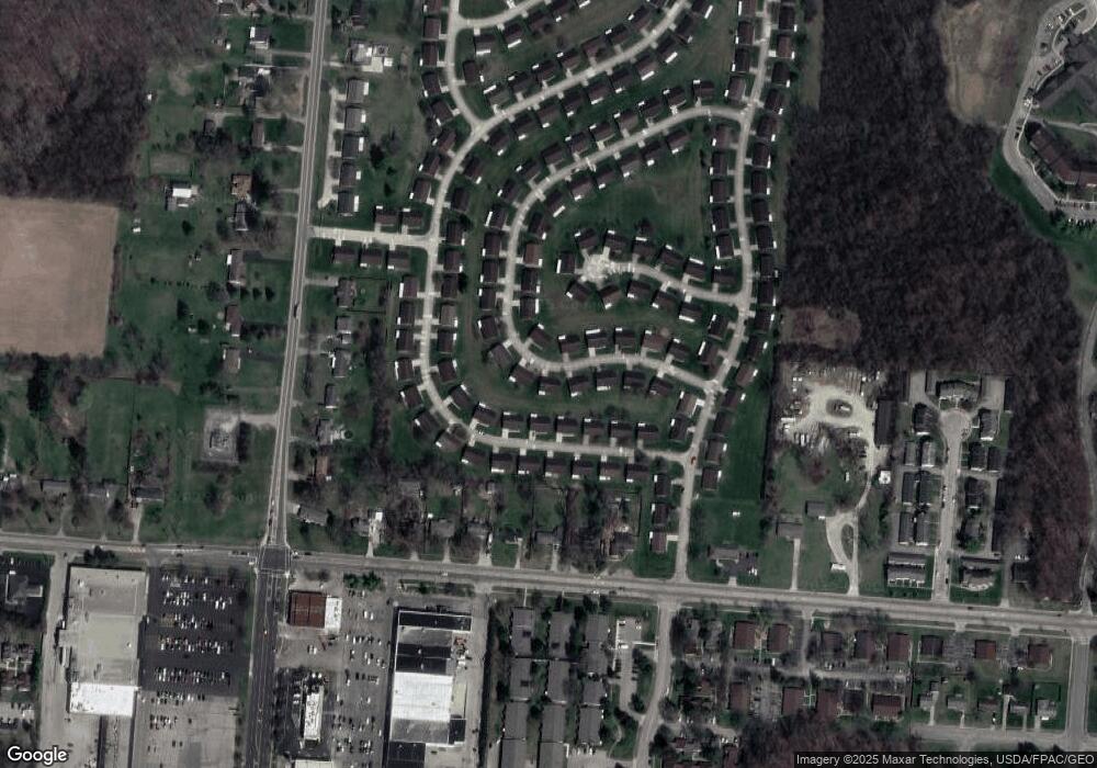
Map
Nearby Homes
- 3029 Bradford Dr Unit 46
- 3032 Armsgate Rd Unit 25
- 1732 Falmouth Ave
- 1148 Foxboro Rd
- 1225 Vester Ave
- 3129 Haverhill St
- 3307 Tackett St
- 647 Villa Rd Unit A
- 1506 Hyannis Dr
- 2022 Westboro Ave
- 1405 Hyannis Dr
- 2933 Bahia Dr
- 3214 Revels St
- 2907 Mystic Ln
- 542 Villa Rd
- 3231 Vineyard St
- 3631 Kingsgate Ln
- 1501 Kingsgate Rd
- 1509 Kingsgate Rd
- 1507 Kingsgate Rd
- 1039 Bradford Dr Unit 42
- 1036 Armsgate Rd
- 1038 Armsgate Rd Unit 33
- 1038 Bradford Dr Unit 54
- 1038 Bradford Dr
- 1034 Bradford Dr
- 1034 Bradford Dr Unit 53
- 1034 Armsgate Rd
- 1041 Bradford Dr
- 1041 Bradford Dr
- 1033 Bradford Dr Unit 45
- 1040 Armsgate Rd Unit 34
- 1040 Bradford Dr
- 1032 Armsgate Rd
- 3030 Bradford Dr
- 1039 Armsgate Rd Unit 7
- 1037 Armsgate Rd
- 1042 Armsgate Rd Unit 35
- 1043 Bradford Dr
- 1030 Armsgate Rd Unit 29