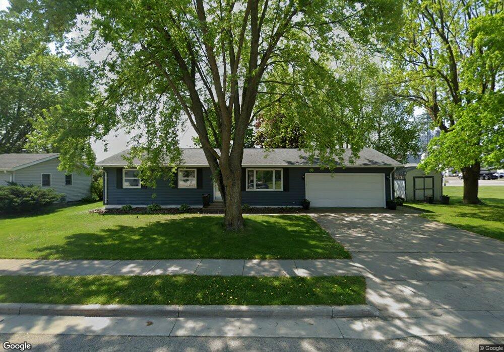
1037 Maple Ave Waupun, WI 53963
Estimated Value: $223,889 - $262,000
Studio
--
Bath
--
Sq Ft
10,498
Sq Ft Lot
About This Home
This home is located at 1037 Maple Ave, Waupun, WI 53963 and is currently estimated at $249,222. 1037 Maple Ave is a home located in Fond du Lac County with nearby schools including Meadow View Primary School, Rock River Intermediate School, and Waupun Area Junior High School.
Ownership History
Date
Name
Owned For
Owner Type
Purchase Details
Closed on
Aug 25, 2023
Sold by
Pulda Adam J
Bought by
Mindt Casey
Current Estimated Value
Purchase Details
Closed on
Apr 30, 2008
Sold by
Sperger Steven A and Sperger Rochelle L
Bought by
Pulda Adam J
Home Financials for this Owner
Home Financials are based on the most recent Mortgage that was taken out on this home.
Original Mortgage
$83,000
Interest Rate
5.99%
Mortgage Type
Adjustable Rate Mortgage/ARM
Create a Home Valuation Report for This Property
The Home Valuation Report is an in-depth analysis detailing your home's value as well as a comparison with similar homes in the area
Home Values in the Area
Average Home Value in this Area
Purchase History
| Date | Buyer | Sale Price | Title Company |
|---|---|---|---|
| Mindt Casey | $192,000 | Andrew Law Offices Sc | |
| Pulda Adam J | $113,000 | None Available |
Source: Public Records
Mortgage History
| Date | Status | Borrower | Loan Amount |
|---|---|---|---|
| Previous Owner | Pulda Adam J | $83,000 |
Source: Public Records
Tax History
| Year | Tax Paid | Tax Assessment Tax Assessment Total Assessment is a certain percentage of the fair market value that is determined by local assessors to be the total taxable value of land and additions on the property. | Land | Improvement |
|---|---|---|---|---|
| 2025 | $2,889 | $208,000 | $33,000 | $175,000 |
| 2024 | $2,988 | $173,300 | $26,500 | $146,800 |
| 2023 | $2,824 | $173,300 | $26,500 | $146,800 |
| 2022 | $2,795 | $173,300 | $26,500 | $146,800 |
| 2021 | $2,354 | $116,200 | $24,500 | $91,700 |
| 2020 | $2,412 | $116,200 | $24,500 | $91,700 |
| 2019 | $2,339 | $116,200 | $24,500 | $91,700 |
| 2018 | $2,263 | $116,200 | $24,500 | $91,700 |
| 2017 | $2,202 | $104,500 | $23,400 | $81,100 |
| 2016 | $2,064 | $104,500 | $23,400 | $81,100 |
| 2015 | $2,560 | $104,500 | $23,400 | $81,100 |
| 2014 | $2,118 | $104,500 | $23,400 | $81,100 |
| 2013 | $2,189 | $104,500 | $23,400 | $81,100 |
Source: Public Records
Map
Nearby Homes
- 736 Fern St
- 105 Ousterling Dr
- 160 Ackerman Ave
- 306 Harmsen Ave
- 499 W Main St
- 0 S Patte Dr Unit 2016202
- 526 Waubun Ave
- 522 W Lincoln St
- 401 Mckinley St
- 520 Bittersweet Ln
- 20 W Brown St
- 405 W Hawthorne Dr
- 203 N Mill St
- 315 E Main St
- 631 Maxon St
- 231 Woodland Dr
- 241 S Madison St
- 275 S Madison St
- 100 S Watertown St
- 306 S Watertown St
Your Personal Tour Guide
Ask me questions while you tour the home.