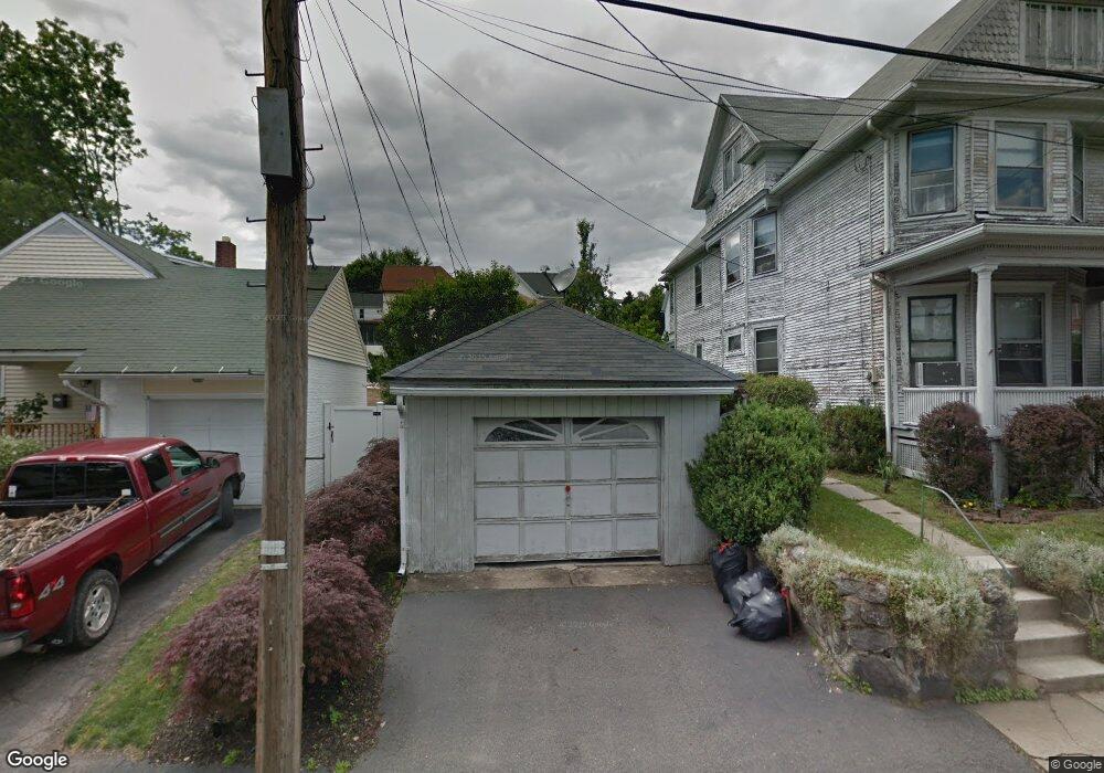
1037 Ridge Ave Scranton, PA 18510
Hill Section NeighborhoodEstimated Value: $124,771 - $242,000
2
Beds
1
Bath
1,200
Sq Ft
$153/Sq Ft
Est. Value
About This Home
This home is located at 1037 Ridge Ave, Scranton, PA 18510 and is currently estimated at $184,193, approximately $153 per square foot. 1037 Ridge Ave is a home located in Lackawanna County with nearby schools including Lakeside Elementary School, Pinchbeck Elementary School, and William Prescott School.
Ownership History
Date
Name
Owned For
Owner Type
Purchase Details
Closed on
Oct 27, 2006
Sold by
Faw Maryann
Bought by
Shedlock Darrin R
Current Estimated Value
Home Financials for this Owner
Home Financials are based on the most recent Mortgage that was taken out on this home.
Original Mortgage
$25,000
Interest Rate
6.11%
Mortgage Type
Seller Take Back
Create a Home Valuation Report for This Property
The Home Valuation Report is an in-depth analysis detailing your home's value as well as a comparison with similar homes in the area
Home Values in the Area
Average Home Value in this Area
Purchase History
| Date | Buyer | Sale Price | Title Company |
|---|---|---|---|
| Shedlock Darrin R | $125,000 | None Available |
Source: Public Records
Mortgage History
| Date | Status | Borrower | Loan Amount |
|---|---|---|---|
| Closed | Shedlock Darrin R | $25,000 | |
| Open | Shedlock Darrin R | $100,000 |
Source: Public Records
Tax History Compared to Growth
Tax History
| Year | Tax Paid | Tax Assessment Tax Assessment Total Assessment is a certain percentage of the fair market value that is determined by local assessors to be the total taxable value of land and additions on the property. | Land | Improvement |
|---|---|---|---|---|
| 2025 | $3,977 | $12,000 | $2,500 | $9,500 |
| 2024 | $3,642 | $12,000 | $2,500 | $9,500 |
| 2023 | $3,642 | $12,000 | $2,500 | $9,500 |
| 2022 | $3,562 | $12,000 | $2,500 | $9,500 |
| 2021 | $3,562 | $12,000 | $2,500 | $9,500 |
| 2020 | $3,498 | $12,000 | $2,500 | $9,500 |
| 2019 | $3,292 | $12,000 | $2,500 | $9,500 |
| 2018 | $3,292 | $12,000 | $2,500 | $9,500 |
| 2017 | $3,236 | $12,000 | $2,500 | $9,500 |
| 2016 | $1,062 | $12,000 | $2,500 | $9,500 |
| 2015 | $2,121 | $12,000 | $2,500 | $9,500 |
| 2014 | -- | $12,000 | $2,500 | $9,500 |
Source: Public Records
Map
Nearby Homes
- 1017 Prescott Ave
- 1112 Ridge Ave
- 1406 Ash St
- 139 William St
- 900 Taylor Ave
- 826 N Irving Ave
- 805-807 N Irving Ave
- 627 S Blakely St
- 1207 N Webster Ave
- 0 Colfax and Gibson Ave Unit GSBSC255175
- 1105 Quincy Ave
- 715 Prescott Ave Unit L17
- 825 827 Quincy Ave Unit 825-827
- 615-617 Quincy Ave
- 2122 Ash St
- 1210 Monroe Ave
- 1119 1121 Monroe Ave
- 7 Oakwood Place
- 929 Monroe Ave
- 1005 Luke Ave
- 1029 Ridge Ave
- 1046 Prescott Ave
- 1045 Ridge Ave
- 1048 Prescott Ave
- 1032 Prescott Ave
- 1025 Ridge Ave
- 1050 Prescott Ave
- 1058 Prescott Ave
- 1022 Prescott Ave
- 1049 Ridge Ave
- 1026 Ridge Ave
- 1022 Ridge Ave
- 1020 Ridge Ave
- 1020 Prescott Ave
- 1041 Prescott Ave
- 1014 Ridge Ave
- 1019 Ridge Ave
- 1045 Prescott Ave
- 1012 Ridge Ave
- 1101 Ridge Ave