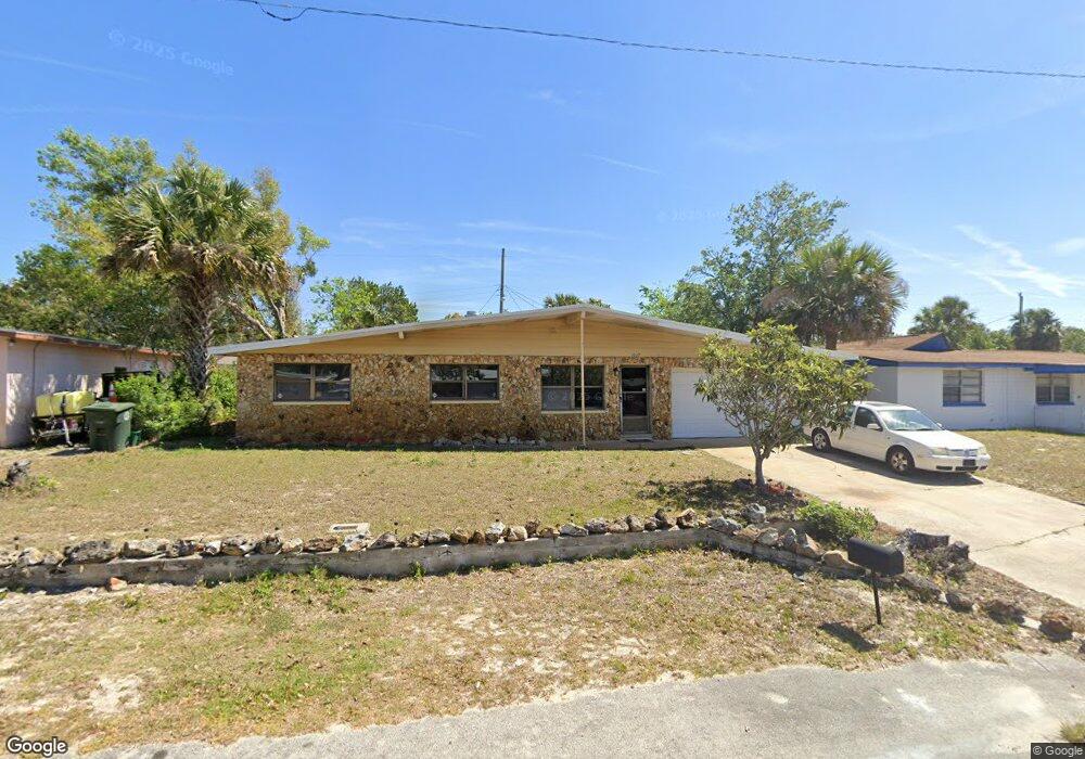
1037 Thunderbird Dr Unit 32117 Daytona Beach, FL 32117
Neighborhood K NeighborhoodEstimated Value: $151,000 - $209,000
3
Beds
2
Baths
1,181
Sq Ft
$149/Sq Ft
Est. Value
About This Home
This home is located at 1037 Thunderbird Dr Unit 32117, Daytona Beach, FL 32117 and is currently estimated at $175,974, approximately $149 per square foot. 1037 Thunderbird Dr Unit 32117 is a home located in Volusia County with nearby schools including Westside Elementary School, Campbell Middle School, and Mainland High School.
Ownership History
Date
Name
Owned For
Owner Type
Purchase Details
Closed on
Jun 27, 1994
Sold by
Clark Evelyn M and Clark Alvin J
Bought by
Postell Bernard and Postell Deborah
Current Estimated Value
Home Financials for this Owner
Home Financials are based on the most recent Mortgage that was taken out on this home.
Original Mortgage
$45,000
Interest Rate
8.73%
Purchase Details
Closed on
Oct 15, 1986
Bought by
Postell Deborah
Purchase Details
Closed on
Nov 15, 1983
Bought by
Postell Deborah
Create a Home Valuation Report for This Property
The Home Valuation Report is an in-depth analysis detailing your home's value as well as a comparison with similar homes in the area
Home Values in the Area
Average Home Value in this Area
Purchase History
| Date | Buyer | Sale Price | Title Company |
|---|---|---|---|
| Postell Bernard | $47,500 | -- | |
| Postell Deborah | $42,900 | -- | |
| Postell Deborah | $28,000 | -- |
Source: Public Records
Mortgage History
| Date | Status | Borrower | Loan Amount |
|---|---|---|---|
| Closed | Postell Bernard | $45,000 |
Source: Public Records
Tax History Compared to Growth
Tax History
| Year | Tax Paid | Tax Assessment Tax Assessment Total Assessment is a certain percentage of the fair market value that is determined by local assessors to be the total taxable value of land and additions on the property. | Land | Improvement |
|---|---|---|---|---|
| 2025 | $149 | $35,289 | -- | -- |
| 2024 | $149 | $34,296 | -- | -- |
| 2023 | $149 | $33,297 | $0 | $0 |
| 2022 | $133 | $32,327 | $0 | $0 |
| 2021 | $123 | $31,385 | $0 | $0 |
| 2020 | $115 | $30,952 | $0 | $0 |
| 2019 | $103 | $30,256 | $0 | $0 |
| 2018 | $96 | $29,692 | $0 | $0 |
| 2017 | $87 | $29,081 | $0 | $0 |
| 2016 | $78 | $28,483 | $0 | $0 |
| 2015 | $77 | $28,285 | $0 | $0 |
| 2014 | $72 | $28,061 | $0 | $0 |
Source: Public Records
Map
Nearby Homes
- 1033 Cadillac Dr
- 1015 Cadillac Dr
- 1136 Lakewood Park Dr
- 1026 Imperial Dr
- 1122 Lewis Dr
- 1119 Edith Dr
- 1113 Berkshire Rd
- 160 Big Ben Dr
- 1605 N Patrick Cir
- 116 Big Ben Dr
- 1060 E Patrick Cir
- 1325 Laurel Dr
- 882 W Coquina Dr
- 1340 Continental Dr
- 888 W Coquina Dr
- 952 Essex Rd
- 104 Heathrow Dr
- 1029 S Gertrude Ct
- 929 Derbyshire Rd
- 1412 Continental Dr
- 1033 Thunderbird Dr Unit 6
- 1041 Thunderbird Dr Unit 32117
- 1022 Cadillac Dr
- 1020 Cadillac Dr
- 1024 Cadillac Dr
- 1029 Thunderbird Dr
- 1053 Thunderbird Dr Unit 32117
- 1046 Thunderbird Dr Unit 32117
- 1018 Cadillac Dr Unit 3
- 1026 Cadillac Dr
- 1050 Thunderbird Dr
- 1034 Thunderbird Dr Unit 32117
- 1025 Thunderbird Dr Unit 32117
- 1057 Thunderbird Dr
- 1054 Thunderbird Dr Unit 32117
- 1030 Thunderbird Dr Unit 32117
- 1016 Cadillac Dr
- 1028 Cadillac Dr
- 1058 Thunderbird Dr
- 1025 Cadillac Dr