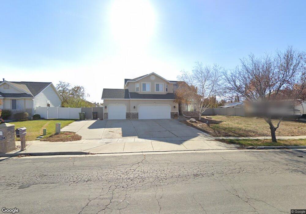
1037 W 2920 S Syracuse, UT 84075
Estimated Value: $642,000 - $695,000
5
Beds
4
Baths
3,186
Sq Ft
$207/Sq Ft
Est. Value
About This Home
This home is located at 1037 W 2920 S, Syracuse, UT 84075 and is currently estimated at $659,787, approximately $207 per square foot. 1037 W 2920 S is a home located in Davis County with nearby schools including Bluff Ridge Elementary, Legacy Junior High School, and Clearfield High School.
Ownership History
Date
Name
Owned For
Owner Type
Purchase Details
Closed on
Oct 20, 2021
Sold by
Sauk Barbara B and Mcgarry Shawn
Bought by
Sfr Acquisitions 1 Llc
Current Estimated Value
Purchase Details
Closed on
Apr 22, 2021
Sold by
Sault Barbara B and Barbara B Sault Holdings Trust
Bought by
Sault Barbara B and Mcgarry Shawn
Purchase Details
Closed on
Jun 8, 2020
Sold by
Sault Barbara B and Barbara B Sault Family Trust
Bought by
Sault Barbara B and Barbara B Sault Holdings Trust
Purchase Details
Closed on
Dec 17, 2001
Sold by
Perry Homes Inc
Bought by
Sault Barbara B
Purchase Details
Closed on
Sep 4, 2001
Sold by
Perry & Associates Inc
Bought by
Perry Homes Inc
Purchase Details
Closed on
Nov 12, 1999
Sold by
North Ranch Lc
Bought by
Perry Homes Inc
Create a Home Valuation Report for This Property
The Home Valuation Report is an in-depth analysis detailing your home's value as well as a comparison with similar homes in the area
Home Values in the Area
Average Home Value in this Area
Purchase History
| Date | Buyer | Sale Price | Title Company |
|---|---|---|---|
| Sfr Acquisitions 1 Llc | -- | Metro National Title | |
| Sfr Acquisitions 1 Llc | -- | Metro National Title | |
| Sault Barbara B | -- | None Available | |
| Sault Barbara B | -- | None Available | |
| Sault Barbara B | -- | Meridian Title Company | |
| Perry Homes Inc | -- | Meridian Title Company | |
| Perry Homes Inc | -- | Bonneville Title Company Inc |
Source: Public Records
Tax History Compared to Growth
Tax History
| Year | Tax Paid | Tax Assessment Tax Assessment Total Assessment is a certain percentage of the fair market value that is determined by local assessors to be the total taxable value of land and additions on the property. | Land | Improvement |
|---|---|---|---|---|
| 2025 | $3,512 | $338,800 | $129,005 | $209,795 |
| 2024 | $3,341 | $324,499 | $110,669 | $213,830 |
| 2023 | $3,232 | $314,600 | $84,685 | $229,914 |
| 2022 | $3,446 | $608,000 | $160,145 | $447,855 |
| 2021 | $3,136 | $471,000 | $130,620 | $340,380 |
| 2020 | $2,799 | $407,000 | $111,779 | $295,221 |
| 2019 | $2,682 | $385,000 | $111,715 | $273,285 |
| 2018 | $2,519 | $359,000 | $106,567 | $252,433 |
| 2016 | $2,205 | $164,780 | $40,812 | $123,968 |
| 2015 | $2,187 | $155,650 | $40,812 | $114,838 |
| 2014 | $2,101 | $152,369 | $40,812 | $111,557 |
| 2013 | -- | $137,719 | $38,343 | $99,376 |
Source: Public Records
Map
Nearby Homes
- 2766 S 1200 W
- 1139 W 3150 S
- 2958 S 1320 W
- 803 W 2800 S
- 967 W Yamada Ct
- 1137 W 2500 S
- 2480 S 1150 W
- 2463 S 1375 W
- 2223 S Allison Way
- 3074 S Edgewater Ln
- 2355 S 1230 W
- 3169 S 550 W
- 2744 S Allison Way Unit 211
- 2742 S Allison Way Unit 212
- 1156 W 2325 S
- 1116 W 2325 S
- 1137 2275 S
- 1295 W 2325 S
- 1196 W 2325 S
- 1667 W 2770 S Unit 206