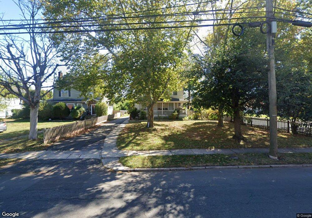
1037 W 7th St Unit 39 Plainfield, NJ 07063
Estimated Value: $497,000 - $654,000
--
Bed
--
Bath
2,116
Sq Ft
$261/Sq Ft
Est. Value
About This Home
This home is located at 1037 W 7th St Unit 39, Plainfield, NJ 07063 and is currently estimated at $552,924, approximately $261 per square foot. 1037 W 7th St Unit 39 is a home located in Union County with nearby schools including Clinton School, Hubbard Middle School, and Plainfield High School.
Ownership History
Date
Name
Owned For
Owner Type
Purchase Details
Closed on
Aug 26, 1998
Sold by
Chandrika Kawall and Chandrika Monawattie
Bought by
Roopnarine Chandrika Kawall and Roopnarine Chandrika
Current Estimated Value
Home Financials for this Owner
Home Financials are based on the most recent Mortgage that was taken out on this home.
Original Mortgage
$68,000
Outstanding Balance
$14,526
Interest Rate
6.9%
Estimated Equity
$538,398
Purchase Details
Closed on
Jul 27, 1994
Sold by
Citicorp Mtg Inc
Bought by
Roopnarine Chandrika Kawall and Roopnarine Chandrika
Create a Home Valuation Report for This Property
The Home Valuation Report is an in-depth analysis detailing your home's value as well as a comparison with similar homes in the area
Home Values in the Area
Average Home Value in this Area
Purchase History
| Date | Buyer | Sale Price | Title Company |
|---|---|---|---|
| Roopnarine Chandrika Kawall | -- | -- | |
| Roopnarine Chandrika Kawall | $95,000 | -- |
Source: Public Records
Mortgage History
| Date | Status | Borrower | Loan Amount |
|---|---|---|---|
| Open | Roopnarine Chandrika Kawall | $68,000 |
Source: Public Records
Tax History Compared to Growth
Tax History
| Year | Tax Paid | Tax Assessment Tax Assessment Total Assessment is a certain percentage of the fair market value that is determined by local assessors to be the total taxable value of land and additions on the property. | Land | Improvement |
|---|---|---|---|---|
| 2025 | $10,042 | $115,000 | $50,600 | $64,400 |
| 2024 | $9,943 | $115,000 | $50,600 | $64,400 |
| 2023 | $9,943 | $115,000 | $50,600 | $64,400 |
| 2022 | $9,728 | $115,000 | $50,600 | $64,400 |
| 2021 | $9,643 | $115,000 | $50,600 | $64,400 |
| 2020 | $9,615 | $115,000 | $50,600 | $64,400 |
| 2019 | $9,615 | $115,000 | $50,600 | $64,400 |
| 2018 | $9,414 | $115,000 | $50,600 | $64,400 |
| 2017 | $9,184 | $115,000 | $50,600 | $64,400 |
| 2016 | $8,996 | $115,000 | $50,600 | $64,400 |
| 2015 | $8,731 | $115,000 | $50,600 | $64,400 |
| 2014 | -- | $138,500 | $50,600 | $87,900 |
Source: Public Records
Map
Nearby Homes
- 950 W 6th St Unit 52
- 1227 W 6th St
- 338 Manson Place Unit 40
- 954 W 4th St
- 333 Mcdowell St Unit 35
- 916 Sherman Ave
- 355 Bergen St
- 905 Stelle Ave Unit 7
- 318-20 Manson Place
- 139 Palmer Ave
- 312 Monroe Ave Unit 14
- 325-29 Stebbins Place Unit 4
- 909 Sherman Ave
- 4 Rauer Ct
- 318 Halsey St Unit 20
- 809-11 W 4th St
- 814 Sherman Ave Unit 18
- 223 Monroe Ave
- 610 Darrow Ave Unit 16
- 917 Tompkins Ave
- 1033 W 7th St Unit 35
- 726-30 Shiloh Ct
- 718-24 Shiloh Ct
- 712-16 Shiloh Ct
- 1045 W 7th St Unit 49
- 1027 W 7th St Unit 31
- 1027-31 W 7th St
- 712 Shiloh Ct
- 1038 W 7th St 6
- 1038 W 7th St 9
- 1038 W 7th St 5
- 1021 W 7th St Unit 25
- 718 Shiloh Ct
- 1101 W 7th St Unit 5
- 711-19 Elaine Ct Unit 1
- 711 Elaine Ct Unit 19
- 1038-52 W 7th St Unit 19
- 1038-52 W 7th St Unit 1
- 1038-52 W 7th St Unit 12
- 1038-52 W 7th St Unit 22