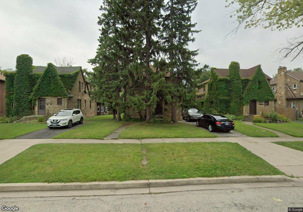
1037 W Atlantic Ave Waukegan, IL 60085
Estimated Value: $209,000 - $258,000
4
Beds
2
Baths
1,910
Sq Ft
$128/Sq Ft
Est. Value
About This Home
This home is located at 1037 W Atlantic Ave, Waukegan, IL 60085 and is currently estimated at $244,623, approximately $128 per square foot. 1037 W Atlantic Ave is a home located in Lake County with nearby schools including Glen Flora Elementary School, Edith M Smith Middle School, and Waukegan High School.
Ownership History
Date
Name
Owned For
Owner Type
Purchase Details
Closed on
Dec 15, 2022
Sold by
John P And Leona M Spurling Family Trust
Bought by
Santana Virgilio and Santana Veronica
Current Estimated Value
Home Financials for this Owner
Home Financials are based on the most recent Mortgage that was taken out on this home.
Original Mortgage
$135,000
Outstanding Balance
$131,592
Interest Rate
7.88%
Mortgage Type
New Conventional
Estimated Equity
$113,031
Purchase Details
Closed on
Aug 13, 2008
Sold by
Spurling John and Spurling Leona
Bought by
Spurling John P and Spurling Leona M
Create a Home Valuation Report for This Property
The Home Valuation Report is an in-depth analysis detailing your home's value as well as a comparison with similar homes in the area
Home Values in the Area
Average Home Value in this Area
Purchase History
| Date | Buyer | Sale Price | Title Company |
|---|---|---|---|
| Santana Virgilio | $180,000 | Citywide Title | |
| Spurling John P | -- | None Available |
Source: Public Records
Mortgage History
| Date | Status | Borrower | Loan Amount |
|---|---|---|---|
| Open | Santana Virgilio | $135,000 |
Source: Public Records
Tax History Compared to Growth
Tax History
| Year | Tax Paid | Tax Assessment Tax Assessment Total Assessment is a certain percentage of the fair market value that is determined by local assessors to be the total taxable value of land and additions on the property. | Land | Improvement |
|---|---|---|---|---|
| 2024 | $4,683 | $63,934 | $11,856 | $52,078 |
| 2023 | $5,767 | $57,659 | $10,692 | $46,967 |
| 2022 | $5,767 | $58,987 | $13,846 | $45,141 |
| 2021 | $6,188 | $59,354 | $12,352 | $47,002 |
| 2020 | $6,268 | $55,295 | $11,507 | $43,788 |
| 2019 | $6,308 | $50,669 | $10,544 | $40,125 |
| 2018 | $5,962 | $46,110 | $14,922 | $31,188 |
| 2017 | $5,803 | $40,795 | $13,202 | $27,593 |
| 2016 | $5,478 | $35,449 | $11,472 | $23,977 |
| 2015 | $5,360 | $31,728 | $10,268 | $21,460 |
| 2014 | $4,443 | $26,260 | $5,950 | $20,310 |
| 2012 | $5,506 | $28,449 | $6,446 | $22,003 |
Source: Public Records
Map
Nearby Homes
- 1018 W Atlantic Ave
- 1312 N Linden Ave
- 1905 Linden Ave
- 616 W Keith Ave
- 1335 Chestnut St
- 1336 N Ash St
- 1504 W Glen Flora Ave
- 1105 Woodlawn Cir
- 1117 Judge Ave
- 1110 N Ash St
- 1000 Pine St
- 917 N Linden Ave
- 1038 Indiana Ave
- 2008 Harding Ave
- 2009 Harding Ave
- 1023 N Elmwood Ave
- 1109 Massena Ave
- 918 N Ash St
- 824 N Butrick St
- 1005 N Lewis Ave
- 1033 W Atlantic Ave
- 1101 W Atlantic Ave
- 1029 W Atlantic Ave
- 1523 Western Ave
- 1105 W Atlantic Ave
- 1519 Western Ave
- 1109 W Atlantic Ave
- 1025 W Atlantic Ave
- 1515 Western Ave
- 1021 W Atlantic Ave
- 1511 Western Ave
- 1040 W Pacific Ave
- 1036 W Pacific Ave
- 1017 W Atlantic Ave
- 1110 W Atlantic Ave
- 1114 W Atlantic Ave
- 1106 W Atlantic Ave
- 1030 W Pacific Ave
- 1118 W Atlantic Ave
- 1102 W Atlantic Ave