Estimated Value: $186,000 - $222,000
4
Beds
3
Baths
1,248
Sq Ft
$164/Sq Ft
Est. Value
About This Home
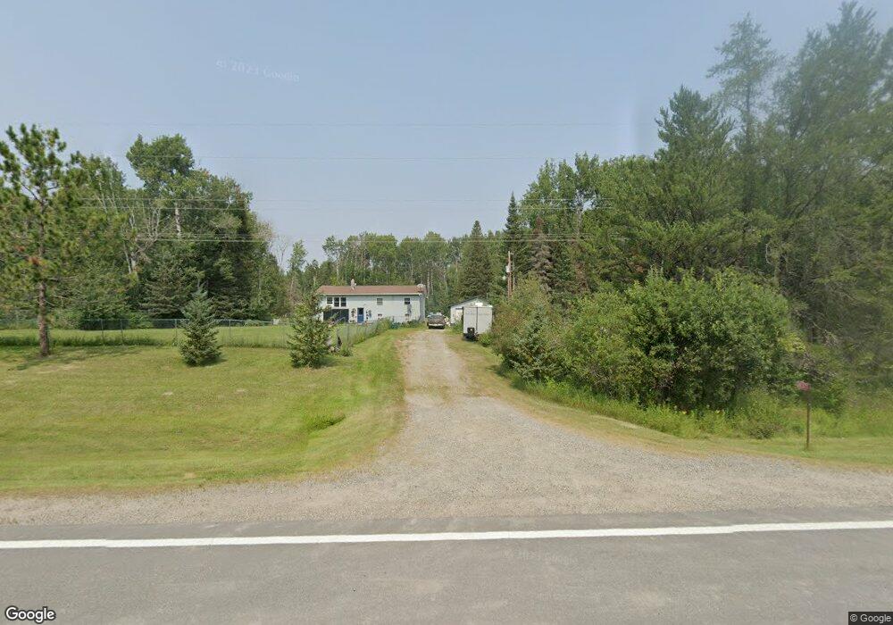
This home is located at 10371 Highway 1, Cook, MN 55723 and is currently estimated at $205,283, approximately $164 per square foot. 10371 Highway 1 is a home located in St. Louis County with nearby schools including North Woods Elementary School.
Ownership History
Date
Name
Owned For
Owner Type
Purchase Details
Closed on
Mar 12, 2008
Sold by
Emc Mortgage Corp
Bought by
Burnett Travis and Burnett Taryn
Current Estimated Value
Home Financials for this Owner
Home Financials are based on the most recent Mortgage that was taken out on this home.
Original Mortgage
$85,578
Interest Rate
5.93%
Mortgage Type
Purchase Money Mortgage
Purchase Details
Closed on
Apr 5, 2007
Sold by
Nynas Cory A and Nynas Carrie M
Bought by
Mortgage Electronic Registration Systems
Purchase Details
Closed on
Jul 25, 2003
Sold by
Andresen Roger S and Andresen Christy E
Bought by
Nynas Cory A and Nynas Carrie M
Home Financials for this Owner
Home Financials are based on the most recent Mortgage that was taken out on this home.
Original Mortgage
$113,200
Interest Rate
5.97%
Mortgage Type
Purchase Money Mortgage
Create a Home Valuation Report for This Property
The Home Valuation Report is an in-depth analysis detailing your home's value as well as a comparison with similar homes in the area
Purchase History
| Date | Buyer | Sale Price | Title Company |
|---|---|---|---|
| Burnett Travis | $79,900 | All Amer | |
| Emc Mortgage Corp | -- | All American | |
| Mortgage Electronic Registration Systems | $119,986 | None Available | |
| Nynas Cory A | $119,251 | -- |
Source: Public Records
Mortgage History
| Date | Status | Borrower | Loan Amount |
|---|---|---|---|
| Previous Owner | Burnett Travis | $85,578 | |
| Previous Owner | Nynas Cory A | $113,200 |
Source: Public Records
Tax History
| Year | Tax Paid | Tax Assessment Tax Assessment Total Assessment is a certain percentage of the fair market value that is determined by local assessors to be the total taxable value of land and additions on the property. | Land | Improvement |
|---|---|---|---|---|
| 2024 | $846 | $160,200 | $32,800 | $127,400 |
| 2023 | $846 | $149,300 | $28,300 | $121,000 |
| 2022 | $1,030 | $137,800 | $28,300 | $109,500 |
| 2021 | $730 | $124,600 | $26,500 | $98,100 |
| 2020 | $840 | $101,100 | $22,700 | $78,400 |
| 2019 | $764 | $107,700 | $22,200 | $85,500 |
| 2018 | $774 | $107,700 | $22,200 | $85,500 |
| 2017 | $784 | $107,800 | $22,300 | $85,500 |
| 2016 | $626 | $107,800 | $22,300 | $85,500 |
| 2015 | $585 | $65,900 | $17,400 | $48,500 |
| 2014 | $585 | $65,900 | $17,400 | $48,500 |
Source: Public Records
Map
Nearby Homes
- 4090 N Arm W
- Rd
- 9774 Wien Rd
- 10478 Leander Rd
- 9453 Alango Rd
- Lot 3 Yahoo Point
- Sec: 2 TWP: 61.0 RG:
- 4901 Samuelson Rd
- 9401 Samuelson Rd
- 2903 Chaps Rd
- TBD Vermilion Lake Rd
- TBD Three Bridges Rd
- TBD Highway 53
- Lot 3 Yahoo Point Rd
- TBD Muskego Point
- TBD Wilderness Way Rd
- TBD Samuelson Road-Sec22
- 2964 Chaps Rd
- TBD Highway 1
- TBD Heino Rd
- 10371 Highway 1
- 10383 Highway 1
- 10351 Highway 1
- 10351 State Highway 1
- 10393 Highway 1
- 10406 Highway 1
- 1887 Alango Rd
- 10328 Highway 1
- 1961 Alango Rd
- 10323 State Highway 1
- 10323 Hwy 1
- 10323 Highway 1
- 1843 Alango Rd
- 1963 Alango Rd
- 1928 Alango Rd
- 10289 Highway 1
- 1989 Alango Rd
- 1989 Alango Rd
- 2251 Alango Rd
- TBD Echo Point Rd
Your Personal Tour Guide
Ask me questions while you tour the home.