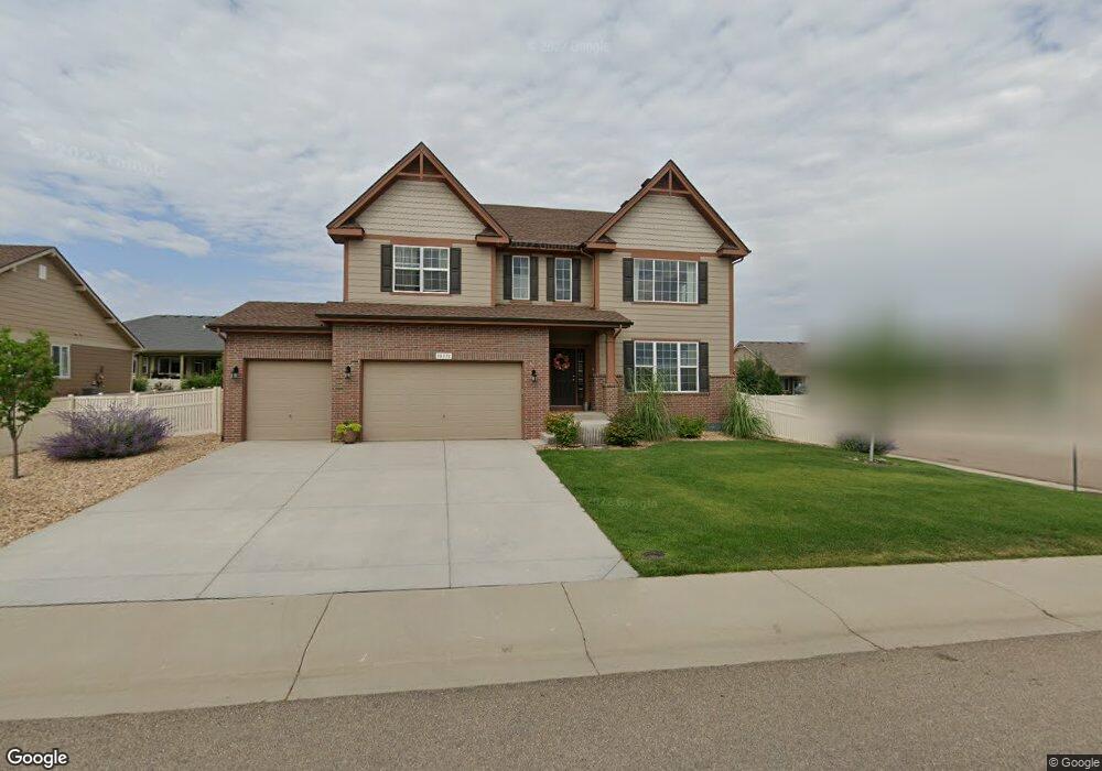
10375 Bountiful St Firestone, CO 80504
Estimated Value: $706,210 - $820,000
5
Beds
4
Baths
3,331
Sq Ft
$226/Sq Ft
Est. Value
About This Home
This home is located at 10375 Bountiful St, Firestone, CO 80504 and is currently estimated at $752,303, approximately $225 per square foot. 10375 Bountiful St is a home with nearby schools including Centennial Elementary School, Coal Ridge Middle School, and Mead High School.
Ownership History
Date
Name
Owned For
Owner Type
Purchase Details
Closed on
Jun 17, 2015
Sold by
Melody Homes Inc
Bought by
Cook Derek and Cook Ashley M
Current Estimated Value
Home Financials for this Owner
Home Financials are based on the most recent Mortgage that was taken out on this home.
Original Mortgage
$325,796
Outstanding Balance
$253,770
Interest Rate
3.91%
Mortgage Type
New Conventional
Estimated Equity
$498,533
Create a Home Valuation Report for This Property
The Home Valuation Report is an in-depth analysis detailing your home's value as well as a comparison with similar homes in the area
Home Values in the Area
Average Home Value in this Area
Purchase History
| Date | Buyer | Sale Price | Title Company |
|---|---|---|---|
| Cook Derek | $457,243 | Heritage Title |
Source: Public Records
Mortgage History
| Date | Status | Borrower | Loan Amount |
|---|---|---|---|
| Open | Cook Derek | $325,796 |
Source: Public Records
Tax History
| Year | Tax Paid | Tax Assessment Tax Assessment Total Assessment is a certain percentage of the fair market value that is determined by local assessors to be the total taxable value of land and additions on the property. | Land | Improvement |
|---|---|---|---|---|
| 2025 | $7,871 | $46,830 | $7,380 | $39,450 |
| 2024 | $7,871 | $46,830 | $7,380 | $39,450 |
| 2023 | $7,669 | $51,640 | $7,980 | $43,660 |
| 2022 | $6,193 | $38,220 | $5,980 | $32,240 |
| 2021 | $6,232 | $39,320 | $6,150 | $33,170 |
| 2020 | $5,410 | $34,310 | $4,650 | $29,660 |
| 2019 | $5,462 | $34,310 | $4,650 | $29,660 |
| 2018 | $4,819 | $31,080 | $3,740 | $27,340 |
| 2017 | $4,887 | $31,080 | $3,740 | $27,340 |
| 2016 | $4,203 | $27,390 | $3,100 | $24,290 |
| 2015 | $410 | $2,730 | $2,730 | $0 |
| 2014 | -- | $1,400 | $1,400 | $0 |
Source: Public Records
Map
Nearby Homes
- 4899 Barron Cir Unit 234
- 5387 Neighbors Pkwy
- 10180 Audrey St
- 4712 Sandy Ridge Ave
- 4795 Audrey St Unit 260
- 10611 Barron Cir Unit 426
- 5286 Rustic Ave
- 4660 Tilbury Ct Unit 352
- 10555 Aspen St Unit 198
- 4616 Tilbury Ct
- 10684 Aspen St Unit 72
- 10684 Aspen St
- 9865 Buffalo St
- 9771 Cascade St
- 10639 Ashwood St
- 5221 Bowersox Pkwy
- 5282 Roadrunner Ave
- 5870 Scenic Ave
- 5046 Rangeview Ave
- 5818 County Road 22 Unit 5
- 10374 Bluegrass St
- 10399 Bountiful St
- 10356 Bluegrass St
- 10360 Bountiful St
- 10339 Bountiful St
- 10378 Bountiful St
- 10398 Bluegrass St
- 10342 Bountiful St
- 10396 Bountiful St
- 10417 Bountiful St
- 10338 Bluegrass St
- 10321 Bountiful St
- 10414 Bountiful St
- 10416 Bluegrass St
- 10324 Bountiful St
- 10320 Bluegrass St
- 10435 Bountiful St
- 10377 Bluegrass St
- 10359 Bluegrass St
- 10395 Bluegrass St
Your Personal Tour Guide
Ask me questions while you tour the home.