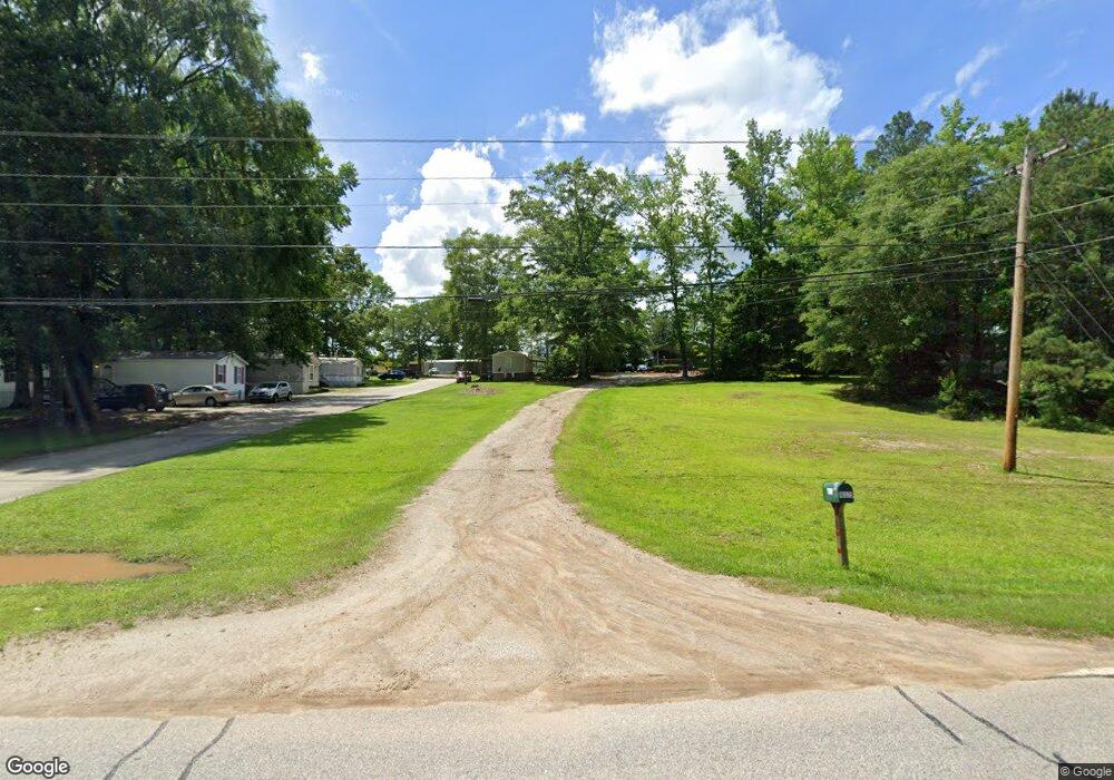
10375 Ga Highway 34 Franklin, GA 30217
Estimated Value: $138,000 - $242,000
3
Beds
2
Baths
1,104
Sq Ft
$164/Sq Ft
Est. Value
About This Home
This home is located at 10375 Ga Highway 34, Franklin, GA 30217 and is currently estimated at $181,394, approximately $164 per square foot. 10375 Ga Highway 34 is a home located in Heard County with nearby schools including Heard County High School.
Ownership History
Date
Name
Owned For
Owner Type
Purchase Details
Closed on
Oct 12, 1995
Sold by
Shelnutt Morris
Bought by
Goodson Hugh Peel
Current Estimated Value
Purchase Details
Closed on
Feb 1, 1990
Sold by
Sanders Wayne
Bought by
Shelnutt Morris
Purchase Details
Closed on
Mar 1, 1967
Sold by
Gilpin W H
Bought by
Sanders Wayne
Purchase Details
Closed on
Jan 1, 1901
Bought by
Gilpin W H
Create a Home Valuation Report for This Property
The Home Valuation Report is an in-depth analysis detailing your home's value as well as a comparison with similar homes in the area
Home Values in the Area
Average Home Value in this Area
Purchase History
| Date | Buyer | Sale Price | Title Company |
|---|---|---|---|
| Goodson Hugh Peel | -- | -- | |
| Shelnutt Morris | $25,000 | -- | |
| Sanders Wayne | $26,000 | -- | |
| Gilpin W H | -- | -- |
Source: Public Records
Tax History Compared to Growth
Tax History
| Year | Tax Paid | Tax Assessment Tax Assessment Total Assessment is a certain percentage of the fair market value that is determined by local assessors to be the total taxable value of land and additions on the property. | Land | Improvement |
|---|---|---|---|---|
| 2024 | $749 | $37,166 | $4,341 | $32,825 |
| 2023 | $689 | $33,000 | $3,618 | $29,382 |
| 2022 | $651 | $31,205 | $2,243 | $28,962 |
| 2021 | $531 | $24,163 | $2,243 | $21,920 |
| 2020 | $518 | $23,320 | $2,243 | $21,077 |
| 2019 | $518 | $23,320 | $2,243 | $21,077 |
| 2018 | $53 | $23,320 | $2,243 | $21,077 |
| 2017 | $497 | $22,022 | $2,080 | $19,942 |
| 2016 | $497 | $22,022 | $2,080 | $19,942 |
| 2015 | -- | $17,146 | $3,808 | $13,338 |
| 2014 | -- | $17,157 | $3,808 | $13,349 |
| 2013 | -- | $21,425 | $3,808 | $17,617 |
Source: Public Records
Map
Nearby Homes
- 11 River's Edge Ln Unit LOT 17
- 17 River's Edge Ln Unit LOT 14
- 0 Bevis Rd Parcel 5
- 0 Bevis Rd Parcel 4
- 2176 Franklin Pkwy
- The Lambert Plan at Patterson Park
- The Bradford Plan at Patterson Park
- The Millie Plan at Patterson Park
- The Coleman Plan at Patterson Park
- The Northern Hills Plan at Patterson Park
- The Nelson Plan at Patterson Park
- 125 Patterson Dr
- 155 Patterson Dr
- 25 Patterson Dr
- 105 Patterson Dr
- 23 Rivers Edge Ln Unit LOT 11
- 21 Rivers Edge Ln Unit LOT 12
- 22 Rivers Edge Ln Unit LOT 7
- 12 Rivers Edge Ln Unit LOT 2
- 24 Rivers Edge Ln Unit LOT 8
- 10383 Ga Highway 34
- 10315 Ga Highway 34
- 10310 Ga Highway 34
- 10259 Ga Highway 34
- 10199 Georgia 34
- 10199 Ga Highway 34
- 10199 Ga Highway 34
- 10199 Ga Highway 34
- 10220 Ga Highway 34
- 10202 Ga Highway 34
- 10170 Ga Highway 34
- 10125 Georgia 34
- 10125 Ga Highway 34
- 10125 Ga Highway 34
- 10125 Ga Highway 34
- 10118 Ga Highway 34
- 10079 Ga Highway 34
- 833 Red Land Rd
- 1009 Red Land Rd
- 1061 Red Land Rd