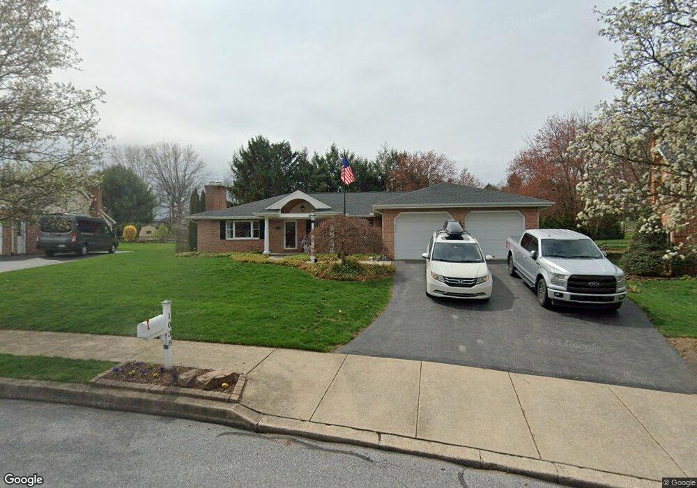
1038 Dawn Ave Ephrata, PA 17522
Estimated Value: $466,000 - $503,000
3
Beds
3
Baths
2,328
Sq Ft
$210/Sq Ft
Est. Value
About This Home
This home is located at 1038 Dawn Ave, Ephrata, PA 17522 and is currently estimated at $489,006, approximately $210 per square foot. 1038 Dawn Ave is a home located in Lancaster County with nearby schools including Ephrata Intermediate School, Clay Elementary School, and Ephrata Senior High School.
Ownership History
Date
Name
Owned For
Owner Type
Purchase Details
Closed on
Sep 11, 2024
Sold by
Shortuse Joshua R
Bought by
Shortuse Richard E and Shortuse Nancy H
Current Estimated Value
Purchase Details
Closed on
Jul 31, 2024
Sold by
Shortuse Shanan N and Shortuse Dillon R
Bought by
Shortuse Joshua R
Purchase Details
Closed on
Jun 30, 2009
Sold by
Beears Sheila A and Anderson Sheila A
Bought by
Shortuse Joshua R and Shortuse Shanan N
Home Financials for this Owner
Home Financials are based on the most recent Mortgage that was taken out on this home.
Original Mortgage
$197,500
Interest Rate
4.86%
Mortgage Type
Purchase Money Mortgage
Create a Home Valuation Report for This Property
The Home Valuation Report is an in-depth analysis detailing your home's value as well as a comparison with similar homes in the area
Home Values in the Area
Average Home Value in this Area
Purchase History
| Date | Buyer | Sale Price | Title Company |
|---|---|---|---|
| Shortuse Richard E | -- | None Listed On Document | |
| Shortuse Joshua R | -- | None Listed On Document | |
| Shortuse Joshua R | $247,500 | None Available |
Source: Public Records
Mortgage History
| Date | Status | Borrower | Loan Amount |
|---|---|---|---|
| Previous Owner | Shortuse Joshua R | $197,500 |
Source: Public Records
Tax History Compared to Growth
Tax History
| Year | Tax Paid | Tax Assessment Tax Assessment Total Assessment is a certain percentage of the fair market value that is determined by local assessors to be the total taxable value of land and additions on the property. | Land | Improvement |
|---|---|---|---|---|
| 2025 | $6,729 | $280,600 | $63,600 | $217,000 |
| 2024 | $6,729 | $280,600 | $63,600 | $217,000 |
| 2023 | $6,564 | $280,600 | $63,600 | $217,000 |
| 2022 | $6,284 | $280,600 | $63,600 | $217,000 |
| 2021 | $6,152 | $280,600 | $63,600 | $217,000 |
| 2020 | $6,152 | $280,600 | $63,600 | $217,000 |
| 2019 | $6,039 | $279,300 | $63,600 | $215,700 |
| 2018 | $7,159 | $279,300 | $63,600 | $215,700 |
| 2017 | $5,706 | $215,600 | $46,500 | $169,100 |
| 2016 | $5,661 | $215,600 | $46,500 | $169,100 |
| 2015 | $1,252 | $215,600 | $46,500 | $169,100 |
| 2014 | $4,098 | $215,600 | $46,500 | $169,100 |
Source: Public Records
Map
Nearby Homes
- 1107 W Main St
- 1147 W Main St
- 84 Weaver Ave
- 837 Martin Ave
- 992 Hammon Ave
- 57 Perseverance Ln
- 234 Church Ave
- 49 N Church St
- 10 E Queen St
- 346 Duke St
- 221 Duke St
- 124 Morning Dr
- 00 Morning Dr
- 112 Sycamore Rd
- 114 Brickyard Cir
- 124 Washington Ave
- 868 Pointview Ave
- 708 Primrose Ln
- 144 Niss Ave
- 259 Heatherwood Dr