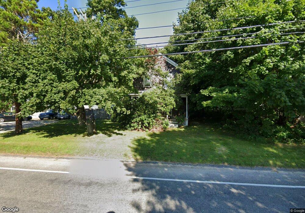
1038 Main Rd Westport, MA 02790
Westport Point NeighborhoodEstimated Value: $473,000 - $578,000
3
Beds
--
Bath
1,260
Sq Ft
$412/Sq Ft
Est. Value
About This Home
This home is located at 1038 Main Rd, Westport, MA 02790 and is currently estimated at $519,320, approximately $412 per square foot. 1038 Main Rd is a home located in Bristol County with nearby schools including Alice A. Macomber Primary School, Westport Elementary School, and Westport Middle-High School.
Create a Home Valuation Report for This Property
The Home Valuation Report is an in-depth analysis detailing your home's value as well as a comparison with similar homes in the area
Home Values in the Area
Average Home Value in this Area
Tax History Compared to Growth
Tax History
| Year | Tax Paid | Tax Assessment Tax Assessment Total Assessment is a certain percentage of the fair market value that is determined by local assessors to be the total taxable value of land and additions on the property. | Land | Improvement |
|---|---|---|---|---|
| 2025 | $3,023 | $405,800 | $210,800 | $195,000 |
| 2024 | $2,998 | $387,900 | $195,300 | $192,600 |
| 2023 | $2,842 | $348,300 | $173,100 | $175,200 |
| 2022 | $2,668 | $314,600 | $173,100 | $141,500 |
| 2021 | $2,577 | $298,900 | $157,400 | $141,500 |
| 2020 | $2,467 | $292,600 | $151,100 | $141,500 |
| 2019 | $2,322 | $280,800 | $151,100 | $129,700 |
| 2018 | $2,301 | $281,700 | $158,400 | $123,300 |
| 2017 | $2,222 | $278,800 | $158,400 | $120,400 |
| 2016 | $2,171 | $274,400 | $158,400 | $116,000 |
| 2015 | $2,073 | $261,400 | $162,000 | $99,400 |
Source: Public Records
Map
Nearby Homes
- 101 Adamsville Rd
- 837 Main Rd
- 920 Drift Rd
- 225 Hixbridge Rd
- 8 Village Way
- 7 Village Way
- 15 Village Way
- 1346 Main Rd Unit B
- 17 Quail Trail
- 1580 Main Rd
- 8 Strawberry Ln
- 99 Sylvia Ln
- 118 Charlotte White Rd Extension
- 0 Hidden Glen Ln
- 978 Sodom Rd
- 1749 Main Rd
- 118 Charlotte White Rd
- 184 Field Stone Ln
- 1702J Drift Rd
- 1702 Drift Rd