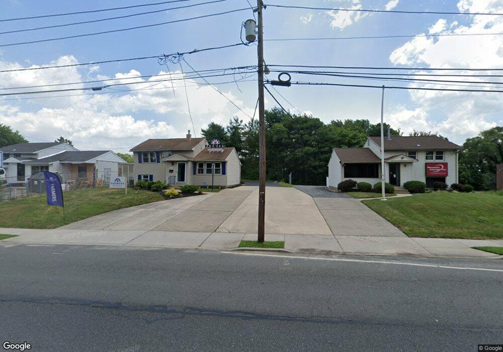
1038 Mantua Pike Wenonah, NJ 08090
Deptford Township NeighborhoodEstimated Value: $195,215
--
Bed
--
Bath
1,316
Sq Ft
$148/Sq Ft
Est. Value
About This Home
This home is located at 1038 Mantua Pike, Wenonah, NJ 08090 and is currently estimated at $195,215, approximately $148 per square foot. 1038 Mantua Pike is a home located in Gloucester County with nearby schools including Deptford Township High School.
Ownership History
Date
Name
Owned For
Owner Type
Purchase Details
Closed on
Jul 22, 2019
Sold by
Therkildsen Chris W
Bought by
Kenne Robert L
Current Estimated Value
Purchase Details
Closed on
May 1, 1996
Sold by
Bogardus Christine M
Bought by
Therkildsen Chris W
Home Financials for this Owner
Home Financials are based on the most recent Mortgage that was taken out on this home.
Original Mortgage
$68,000
Interest Rate
7.89%
Mortgage Type
Commercial
Create a Home Valuation Report for This Property
The Home Valuation Report is an in-depth analysis detailing your home's value as well as a comparison with similar homes in the area
Home Values in the Area
Average Home Value in this Area
Purchase History
| Date | Buyer | Sale Price | Title Company |
|---|---|---|---|
| Kenne Robert L | $105,000 | Fidelity National Ttl Ins Co | |
| Therkildsen Chris W | $86,000 | Independence Abstract & Titl |
Source: Public Records
Mortgage History
| Date | Status | Borrower | Loan Amount |
|---|---|---|---|
| Previous Owner | Therkildsen Chris W | $68,000 |
Source: Public Records
Tax History Compared to Growth
Tax History
| Year | Tax Paid | Tax Assessment Tax Assessment Total Assessment is a certain percentage of the fair market value that is determined by local assessors to be the total taxable value of land and additions on the property. | Land | Improvement |
|---|---|---|---|---|
| 2025 | $4,481 | $125,000 | $88,500 | $36,500 |
| 2024 | $4,338 | $125,000 | $88,500 | $36,500 |
| 2023 | $4,338 | $125,000 | $88,500 | $36,500 |
| 2022 | $4,306 | $125,000 | $88,500 | $36,500 |
| 2021 | $4,245 | $125,000 | $88,500 | $36,500 |
| 2020 | $4,619 | $137,600 | $88,500 | $49,100 |
| 2019 | $4,531 | $137,600 | $88,500 | $49,100 |
| 2018 | $4,429 | $137,600 | $88,500 | $49,100 |
| 2017 | $4,311 | $137,600 | $88,500 | $49,100 |
| 2016 | $4,223 | $137,600 | $88,500 | $49,100 |
| 2015 | $4,092 | $137,600 | $88,500 | $49,100 |
| 2014 | $3,986 | $137,600 | $88,500 | $49,100 |
Source: Public Records
Map
Nearby Homes
- 136 Vanderbilt Ave
- 629 Vassar Rd
- 417 Auburn St
- 15 Ash Ave
- 418 Westminster Rd
- 124 Linden Ave
- 8 Clark Dr
- 505 University Blvd
- 477 Bucknell Ave
- 807 Saint Regis Ct
- 213 Barclay Ct
- 916 Georgetown Rd
- 7 Manchester Ct
- 441 Bucknell Ave
- 114 Buddy Powell Ln
- 827 Saint Regis Ct
- 100 Buddy Powell Ln
- 411 Durham Ct Unit 411
- 463 Durham Ct
- 360 Haverford Ave
- 1040 Mantua Pike
- 1036 Mantua Pike
- 1034 Mantua Pike
- 426 Baylor Rd
- 1030 Mantua Pike
- 424 Baylor Rd
- 428 Baylor Rd
- 1028 Mantua Pike Unit D
- 19 Saint Regis Dr
- 15 Saint Regis Dr
- 430 Baylor Rd
- 420 Baylor Rd
- 13 Saint Regis Dr
- 1026 Mantua Pike
- 17 Saint Regis Dr
- 23 Saint Regis Dr
- 425 Baylor Rd
- 21 Saint Regis Dr
- 418 Baylor Rd
- 11 Saint Regis Dr