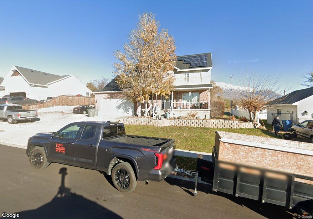
1038 N 250 W American Fork, UT 84003
Estimated Value: $596,000 - $687,000
5
Beds
3
Baths
2,376
Sq Ft
$270/Sq Ft
Est. Value
About This Home
This home is located at 1038 N 250 W, American Fork, UT 84003 and is currently estimated at $640,662, approximately $269 per square foot. 1038 N 250 W is a home located in Utah County with nearby schools including Shelley Elementary School, American Fork Junior High School, and American Fork High School.
Ownership History
Date
Name
Owned For
Owner Type
Purchase Details
Closed on
May 12, 2023
Sold by
Boulter Alan Scott
Bought by
Scott And Kim Boulter Living Trust
Current Estimated Value
Purchase Details
Closed on
Sep 24, 2010
Sold by
Boulter Alan Scott and Boulter Kimberly Ann
Bought by
Boulter Alan Scott and Boulter Kimberly Ann
Home Financials for this Owner
Home Financials are based on the most recent Mortgage that was taken out on this home.
Original Mortgage
$284,245
Interest Rate
4.75%
Mortgage Type
FHA
Create a Home Valuation Report for This Property
The Home Valuation Report is an in-depth analysis detailing your home's value as well as a comparison with similar homes in the area
Home Values in the Area
Average Home Value in this Area
Purchase History
| Date | Buyer | Sale Price | Title Company |
|---|---|---|---|
| Scott And Kim Boulter Living Trust | -- | None Listed On Document | |
| Boulter Alan Scott | -- | Cornerstone Title Insurance |
Source: Public Records
Mortgage History
| Date | Status | Borrower | Loan Amount |
|---|---|---|---|
| Previous Owner | Boulter Alan Scott | $284,245 |
Source: Public Records
Tax History Compared to Growth
Tax History
| Year | Tax Paid | Tax Assessment Tax Assessment Total Assessment is a certain percentage of the fair market value that is determined by local assessors to be the total taxable value of land and additions on the property. | Land | Improvement |
|---|---|---|---|---|
| 2025 | $2,666 | $327,415 | $223,000 | $372,300 |
| 2024 | $2,666 | $296,175 | $0 | $0 |
| 2023 | $2,524 | $297,330 | $0 | $0 |
| 2022 | $2,830 | $328,955 | $0 | $0 |
| 2021 | $2,430 | $441,300 | $160,000 | $281,300 |
| 2020 | $2,277 | $401,000 | $142,900 | $258,100 |
| 2019 | $2,143 | $390,300 | $132,200 | $258,100 |
| 2018 | $2,036 | $354,600 | $125,000 | $229,600 |
| 2017 | $1,992 | $187,220 | $0 | $0 |
| 2016 | $1,833 | $160,050 | $0 | $0 |
| 2015 | $1,895 | $157,080 | $0 | $0 |
| 2014 | $1,747 | $142,835 | $0 | $0 |
Source: Public Records
Map
Nearby Homes
- 984 N 300 W
- 344 W 1080 N
- 3889 W 950 Cir N Unit 366
- 914 N 400 W Unit A
- 425 W 1120 N
- 987 N 410 W
- 471 W 1040 N
- 796 N 200 W
- 1071 Timpview Dr
- 782 N 200 W
- 179 W 1290 N
- 10238 N 6530 W Unit 15
- 5284 N 11200 W Unit 3
- 1051 N 390 E Unit 103
- 6079 W Whisper Ln Unit 404
- 1220 E 700 N
- 1039 N 390 E Unit 102
- 11338 N Annes Way Unit 8
- 6111 W Whisper Ln Unit 402
- 5277 N 11200 W Unit 4