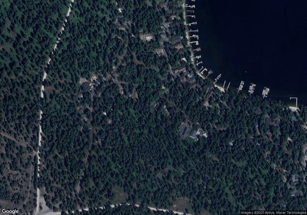
1038 Plymouth Rd McCall, ID 83638
Estimated Value: $857,000 - $1,136,000
3
Beds
3
Baths
1,890
Sq Ft
$521/Sq Ft
Est. Value
About This Home
This home is located at 1038 Plymouth Rd, McCall, ID 83638 and is currently estimated at $984,325, approximately $520 per square foot. 1038 Plymouth Rd is a home with nearby schools including McCall-Donnelly High School and The North Fork School.
Ownership History
Date
Name
Owned For
Owner Type
Purchase Details
Closed on
May 7, 2025
Sold by
Heil Mark J and Heil Michelle A
Bought by
Heil Family Revocable Trust and Heil
Current Estimated Value
Purchase Details
Closed on
Dec 26, 2013
Sold by
Heil Eugene D and Heil Mary Frances
Bought by
Heil Mark J and Heil Michelle A
Home Financials for this Owner
Home Financials are based on the most recent Mortgage that was taken out on this home.
Original Mortgage
$304,000
Interest Rate
4.32%
Mortgage Type
New Conventional
Create a Home Valuation Report for This Property
The Home Valuation Report is an in-depth analysis detailing your home's value as well as a comparison with similar homes in the area
Home Values in the Area
Average Home Value in this Area
Purchase History
| Date | Buyer | Sale Price | Title Company |
|---|---|---|---|
| Heil Family Revocable Trust | -- | None Listed On Document | |
| Heil Mark J | -- | Pioneer Title Company Of Ad |
Source: Public Records
Mortgage History
| Date | Status | Borrower | Loan Amount |
|---|---|---|---|
| Previous Owner | Heil Mark J | $304,000 |
Source: Public Records
Tax History Compared to Growth
Tax History
| Year | Tax Paid | Tax Assessment Tax Assessment Total Assessment is a certain percentage of the fair market value that is determined by local assessors to be the total taxable value of land and additions on the property. | Land | Improvement |
|---|---|---|---|---|
| 2025 | $2,261 | $919,009 | $225,709 | $693,300 |
| 2023 | $2,261 | $962,636 | $225,709 | $736,927 |
| 2022 | $2,459 | $890,994 | $248,280 | $642,714 |
| 2021 | $2,635 | $619,131 | $100,315 | $518,816 |
| 2020 | $2,633 | $529,019 | $113,873 | $415,146 |
| 2019 | $2,861 | $546,046 | $122,165 | $423,881 |
| 2018 | $2,657 | $463,513 | $125,574 | $337,939 |
| 2017 | $2,589 | $392,687 | $83,249 | $309,438 |
| 2016 | $2,734 | $407,032 | $83,177 | $323,855 |
| 2015 | $2,545 | $360,897 | $0 | $0 |
| 2013 | -- | $403,113 | $0 | $0 |
Source: Public Records
Map
Nearby Homes
- 2097 Water Lily Unit 2
- 959 Conifer Ln
- 1047 Kaitlyn Loop
- 1685 Ginney Way
- 1089 Graham Dr
- 1105 Graham Dr
- 1425 Dragonfly Loop
- 1400 & 1404 Mountain Meadow Dr
- 1400&04 Mountain Meadow Dr Unit 8 & 9
- TBD Dragonfly Loop
- TBD Dragonfly Loop Unit 72
- 1484 Dragonfly Loop
- 1702 Pine Cir
- 1702 Pine Cir Unit 15
- 13915 Sky View Ct
- 13910 Sky View Ct Unit 8
- 13917 Sky View Ct
- 1250 Aspen Ridge Ln Unit 112
- 320 Mountain Cove Ct
- 1339 Beach Way
- 1040 Plymouth Rd
- 1036 Plymouth Rd
- 1042 Plymouth Rd
- 1032 Plymouth Rd
- 1044 Plymouth Rd
- 1030 Plymouth Rd
- 1026 Plymouth Rd
- 1039 Plymouth Rd
- 1045 Plymouth Rd
- 1046 Plymouth Rd
- 2029 Honeysuckle
- 2023 John Alden
- 2043 Honeysuckle
- 2017 John Alden
- 1050 Plymouth Rd
- 2023 N Plymouth Ct
- 2025 John Alden Rd
- 2029 Plymouth Ct Unit 12
- 2029 Plymouth Ct
- TBD Plymouth Rd Unit 8
