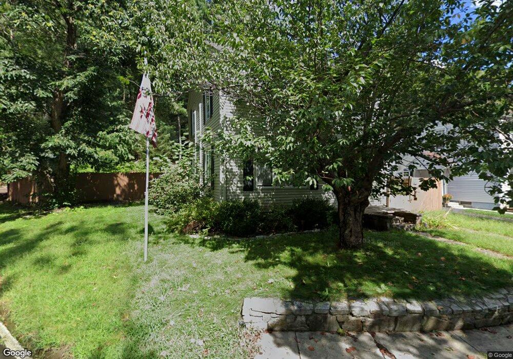
1038 Spring St Palmer, MA 01069
Estimated Value: $262,000 - $352,000
3
Beds
1
Bath
1,300
Sq Ft
$230/Sq Ft
Est. Value
About This Home
This home is located at 1038 Spring St, Palmer, MA 01069 and is currently estimated at $299,416, approximately $230 per square foot. 1038 Spring St is a home located in Hampden County with nearby schools including Old Mill Pond Elementary School, Converse Middle School, and Palmer High School.
Ownership History
Date
Name
Owned For
Owner Type
Purchase Details
Closed on
Jun 22, 2007
Sold by
Staback Vicki
Bought by
Ploof Cheryl L and Ploof Jeffrey A
Current Estimated Value
Home Financials for this Owner
Home Financials are based on the most recent Mortgage that was taken out on this home.
Original Mortgage
$181,500
Outstanding Balance
$110,220
Interest Rate
6.14%
Mortgage Type
Purchase Money Mortgage
Estimated Equity
$189,196
Purchase Details
Closed on
Mar 26, 2007
Sold by
Staback Kenneth and Staback Vicki
Bought by
Staback Vicki
Create a Home Valuation Report for This Property
The Home Valuation Report is an in-depth analysis detailing your home's value as well as a comparison with similar homes in the area
Home Values in the Area
Average Home Value in this Area
Purchase History
| Date | Buyer | Sale Price | Title Company |
|---|---|---|---|
| Ploof Cheryl L | $181,500 | -- | |
| Ploof Cheryl L | $181,500 | -- | |
| Staback Vicki | -- | -- | |
| Staback Vicki | -- | -- |
Source: Public Records
Mortgage History
| Date | Status | Borrower | Loan Amount |
|---|---|---|---|
| Open | Ploof Cheryl L | $181,500 | |
| Closed | Staback Vicki | $181,500 | |
| Previous Owner | Staback Vicki | $82,500 |
Source: Public Records
Tax History Compared to Growth
Tax History
| Year | Tax Paid | Tax Assessment Tax Assessment Total Assessment is a certain percentage of the fair market value that is determined by local assessors to be the total taxable value of land and additions on the property. | Land | Improvement |
|---|---|---|---|---|
| 2025 | $3,187 | $175,600 | $51,100 | $124,500 |
| 2024 | $2,980 | $159,600 | $46,400 | $113,200 |
| 2023 | $2,906 | $149,500 | $46,400 | $103,100 |
| 2022 | $2,898 | $135,400 | $40,700 | $94,700 |
| 2021 | $2,729 | $120,600 | $45,200 | $75,400 |
| 2020 | $2,658 | $116,600 | $45,200 | $71,400 |
| 2019 | $2,582 | $116,600 | $45,200 | $71,400 |
| 2018 | $2,502 | $113,300 | $43,900 | $69,400 |
| 2017 | $2,444 | $113,300 | $43,900 | $69,400 |
| 2016 | $2,342 | $110,100 | $42,600 | $67,500 |
| 2015 | $2,271 | $110,100 | $42,600 | $67,500 |
Source: Public Records
Map
Nearby Homes
- 140 Shearer St
- 0 St Unit 73414881
- 1682 N Main St
- 405 Shearer St
- 72 Quaboag Valley Co Op St Unit 70
- 142,148 Breckenridge St
- 15 Quaboag Valley Co-Op St Unit 15
- 22 Pine View
- 11 Allen St
- 0 Old Warren Rd
- 2136 Baptist Hill Rd
- 0 Hovey Rd
- 268 Palmer Rd Unit 44
- 268 Palmer Rd Unit 27
- 268 Palmer Rd Unit 2
- 1415 Park St
- 15 Michael Dr Unit 15
- 248 Ware St
- 2151 Main St
- 4048 High St
- 1034 Spring St
- 30 Spring St
- 1030 Spring St
- 10 Buckland St
- 1026 Spring St
- 1065 Pine St
- 1061 Pine St
- 1067 Pine St
- 1061 A+B Pine St
- 1022 Spring St
- 1069 Pine St
- 0 Buckland St Unit 71427132
- 0 Buckland St Unit 71645719
- 0 Buckland St Unit 71858850
- 1071 Pine St
- 1055 Pine St
- 41 Longview St
- 49 Longview St
- 1073 Pine St
- 35 Longview St