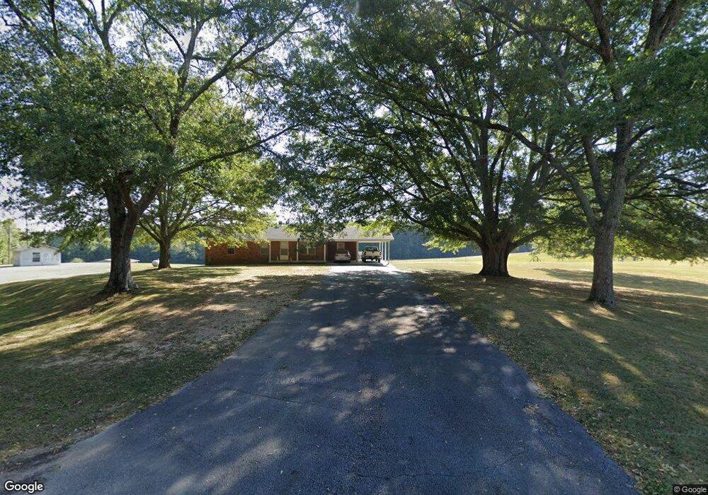
1038 Stone Rd Phil Campbell, AL 35581
Estimated Value: $126,000 - $164,000
--
Bed
--
Bath
1,300
Sq Ft
$116/Sq Ft
Est. Value
About This Home
This home is located at 1038 Stone Rd, Phil Campbell, AL 35581 and is currently estimated at $151,264, approximately $116 per square foot. 1038 Stone Rd is a home located in Franklin County.
Create a Home Valuation Report for This Property
The Home Valuation Report is an in-depth analysis detailing your home's value as well as a comparison with similar homes in the area
Home Values in the Area
Average Home Value in this Area
Tax History Compared to Growth
Tax History
| Year | Tax Paid | Tax Assessment Tax Assessment Total Assessment is a certain percentage of the fair market value that is determined by local assessors to be the total taxable value of land and additions on the property. | Land | Improvement |
|---|---|---|---|---|
| 2024 | $1 | $13,300 | $1,740 | $11,560 |
| 2023 | $1 | $12,640 | $1,660 | $10,980 |
| 2022 | $1 | $11,900 | $1,500 | $10,400 |
| 2021 | $1 | $11,000 | $1,600 | $9,400 |
| 2020 | $1 | $11,000 | $1,600 | $9,400 |
| 2019 | $1 | $8,920 | $1,630 | $7,290 |
| 2018 | $1 | $9,100 | $1,600 | $7,500 |
| 2017 | $1 | $7,900 | $1,500 | $6,400 |
| 2016 | $1 | $7,900 | $1,500 | $6,400 |
| 2015 | $1 | $7,900 | $1,500 | $6,400 |
| 2014 | $1 | $7,900 | $1,500 | $6,400 |
| 2013 | $1 | $7,700 | $1,400 | $6,300 |
Source: Public Records
Map
Nearby Homes
- 3203 Edgar Chapel Rd
- 1172 Co Rd 59
- 321 Highway 126
- 1062 Nix Rd
- 362 Sandusky Rd Unit lot 4
- 0 Fuller Rd
- 0 County Road 20
- 321 Hwy 126
- 2777 Nix Rd
- 00 Pike Ave
- 230 Keelon Gap Rd
- 0 Highway 63
- 2206 Highway 63
- 2065 Alabama 237
- 1406 Pike Ave
- 1440 Pike Ave
- 4025 County Road 172
- 3020 Broad St
- 364 Mc Clung Ave
- 00 Kent St