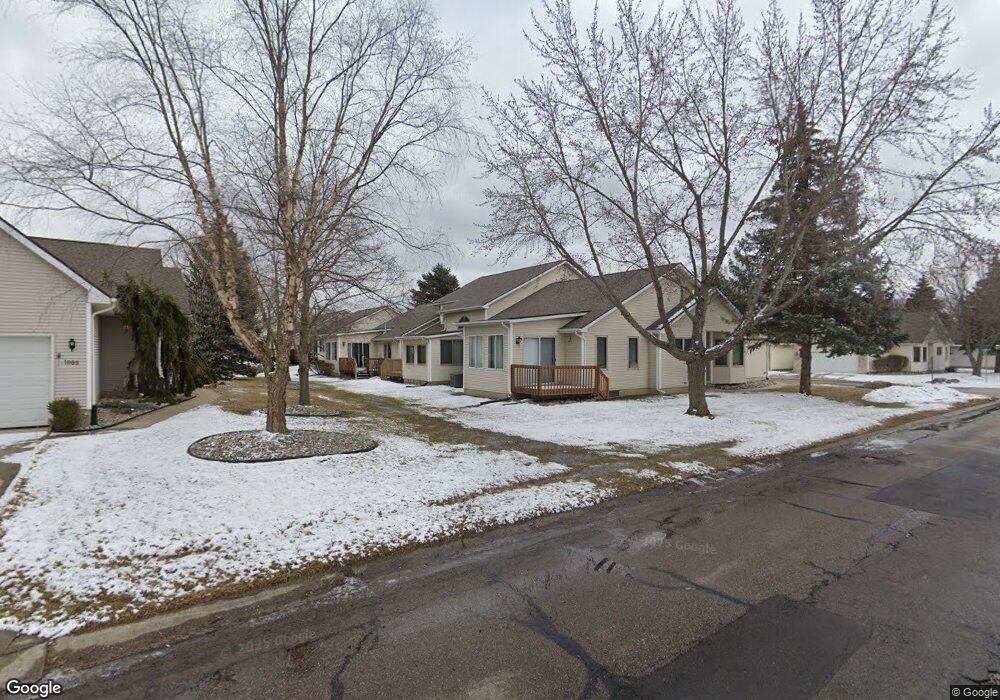
1038 Toni Dr Unit 19 Davison, MI 48423
Estimated Value: $226,655 - $253,000
--
Bed
--
Bath
1,274
Sq Ft
$187/Sq Ft
Est. Value
About This Home
This home is located at 1038 Toni Dr Unit 19, Davison, MI 48423 and is currently estimated at $238,164, approximately $186 per square foot. 1038 Toni Dr Unit 19 is a home located in Genesee County with nearby schools including Thomson Elementary School, Hill Elementary School, and Gates Elementary School.
Ownership History
Date
Name
Owned For
Owner Type
Purchase Details
Closed on
Apr 16, 2007
Sold by
Thelmer O Throndset Trust #2
Bought by
Dasky Joan M
Current Estimated Value
Purchase Details
Closed on
Sep 29, 1999
Sold by
Throndset Thelmer O and Throndset Lillie I
Bought by
Throndset Thelmer O and Thelmer O Throndset Trust #2
Create a Home Valuation Report for This Property
The Home Valuation Report is an in-depth analysis detailing your home's value as well as a comparison with similar homes in the area
Home Values in the Area
Average Home Value in this Area
Purchase History
| Date | Buyer | Sale Price | Title Company |
|---|---|---|---|
| Dasky Joan M | $139,500 | Sargents Title Company | |
| Throndset Thelmer O | -- | -- |
Source: Public Records
Tax History Compared to Growth
Tax History
| Year | Tax Paid | Tax Assessment Tax Assessment Total Assessment is a certain percentage of the fair market value that is determined by local assessors to be the total taxable value of land and additions on the property. | Land | Improvement |
|---|---|---|---|---|
| 2025 | $2,551 | $113,800 | $0 | $0 |
| 2024 | $702 | $105,400 | $0 | $0 |
| 2023 | $669 | $98,600 | $0 | $0 |
| 2022 | $2,289 | $88,000 | $0 | $0 |
| 2021 | $2,271 | $80,200 | $0 | $0 |
| 2020 | $612 | $76,300 | $0 | $0 |
| 2019 | $603 | $68,600 | $0 | $0 |
| 2018 | $1,925 | $63,400 | $0 | $0 |
| 2017 | $1,848 | $63,400 | $0 | $0 |
| 2016 | $1,817 | $61,900 | $0 | $0 |
| 2015 | -- | $57,200 | $0 | $0 |
| 2012 | -- | $44,100 | $44,100 | $0 |
Source: Public Records
Map
Nearby Homes
- 1067 Julie Dr
- 9469 Parkwood N Unit 2B
- 9417 Linda Dr
- 9448 Linda Dr
- 527 Amesbury Dr
- 00 Lapeer Rd
- 9223 Lapeer Rd
- 530 Hemlock Dr
- 334 E Clark St Unit 340 344
- 304 S State Rd
- 330 Rosemore Dr
- 322 North Dr
- 0 Cal Dr
- 405 Viet St
- 1120 Crystal Wood Dr
- 1024 Foxglove Ln
- 000 Foxglove Ln
- 10.63(+/-) Acres Lapeer Rd
- 1075 Crystal Wood Dr Unit 24
- 222 N Davison St
- 1036 Toni Dr
- 1034 Toni Dr
- 1032 Toni Dr
- 1037 Toni Dr Unit 11
- 1035 Toni Dr
- 1033 Toni Dr
- 1041 Julie Dr
- 1037 Carla Blvd
- 1035 Carla Blvd Unit 28
- 1031 Toni Dr Unit 8
- 1031 Toni Dr
- 1031 Toni Dr Unit 3, 8
- 9372 N Parkwood Dr Unit A
- 9372 Parkwood N
- 1031 Carla Blvd
- 9370 Parkwood N Unit D8
- 9374 Parkwood N Unit 8B
- 9363 Jamie Dr Unit 21
- 9376 Parkwood N Unit 8C
- 9369 Jamie Dr Unit 15