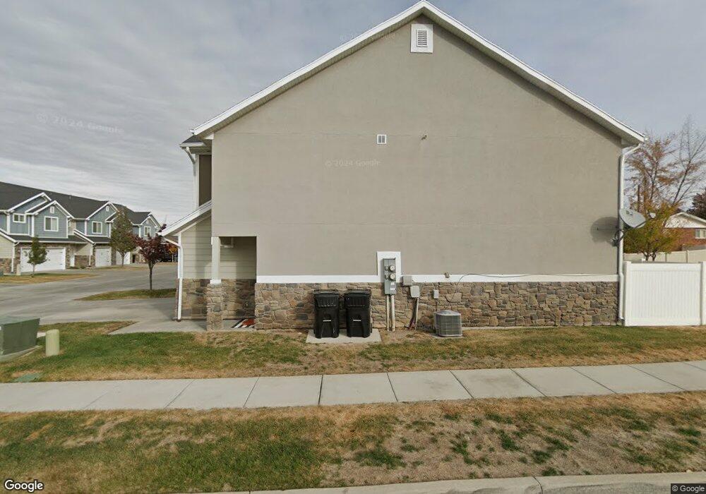
1038 W 2050 S Syracuse, UT 84075
Estimated Value: $378,000 - $407,000
3
Beds
2
Baths
1,410
Sq Ft
$279/Sq Ft
Est. Value
About This Home
This home is located at 1038 W 2050 S, Syracuse, UT 84075 and is currently estimated at $393,005, approximately $278 per square foot. 1038 W 2050 S is a home with nearby schools including Bluff Ridge Elementary, Legacy Junior High School, and Clearfield High School.
Ownership History
Date
Name
Owned For
Owner Type
Purchase Details
Closed on
Sep 5, 2025
Sold by
Bell Jaclyn
Bought by
Haven Home Properties Llc
Current Estimated Value
Purchase Details
Closed on
Apr 23, 2025
Sold by
Sj Unlimited Llc
Bought by
Bell Jaclyn
Purchase Details
Closed on
May 11, 2018
Sold by
Ball Kathlene D
Bought by
Sj Unlimited Llc
Purchase Details
Closed on
Feb 24, 2014
Sold by
Castle Creek Homes Llc
Bought by
Ball Kathlene D
Home Financials for this Owner
Home Financials are based on the most recent Mortgage that was taken out on this home.
Original Mortgage
$5,790
Interest Rate
4.47%
Mortgage Type
Stand Alone Second
Create a Home Valuation Report for This Property
The Home Valuation Report is an in-depth analysis detailing your home's value as well as a comparison with similar homes in the area
Home Values in the Area
Average Home Value in this Area
Purchase History
| Date | Buyer | Sale Price | Title Company |
|---|---|---|---|
| Haven Home Properties Llc | -- | None Listed On Document | |
| Bell Jaclyn | -- | None Listed On Document | |
| Sj Unlimited Llc | -- | -- | |
| Ball Kathlene D | -- | Mountain View Title & |
Source: Public Records
Mortgage History
| Date | Status | Borrower | Loan Amount |
|---|---|---|---|
| Previous Owner | Ball Kathlene D | $5,790 | |
| Previous Owner | Ball Kathlene D | $144,799 |
Source: Public Records
Tax History Compared to Growth
Tax History
| Year | Tax Paid | Tax Assessment Tax Assessment Total Assessment is a certain percentage of the fair market value that is determined by local assessors to be the total taxable value of land and additions on the property. | Land | Improvement |
|---|---|---|---|---|
| 2025 | $1,955 | $188,650 | $76,450 | $112,200 |
| 2024 | $1,874 | $182,050 | $60,500 | $121,550 |
| 2023 | $1,927 | $187,550 | $62,150 | $125,400 |
| 2022 | $1,978 | $349,000 | $96,000 | $253,000 |
| 2021 | $1,711 | $257,000 | $79,000 | $178,000 |
| 2020 | $1,547 | $225,000 | $74,700 | $150,300 |
| 2019 | $1,505 | $216,000 | $75,000 | $141,000 |
| 2018 | $1,361 | $194,000 | $85,000 | $109,000 |
| 2016 | $1,176 | $87,890 | $19,250 | $68,640 |
| 2015 | $1,131 | $80,520 | $19,250 | $61,270 |
| 2014 | $906 | $65,706 | $18,333 | $47,373 |
| 2013 | -- | $32,500 | $32,500 | $0 |
Source: Public Records
Map
Nearby Homes
- 1042 W 2050 S Unit 3
- 1036 W 2050 S
- 1044 W 2050 S Unit 4
- 1044 W 2050 S
- 1046 W 2050 S
- 1048 W 2050 S Unit 11
- 1062 W 2050 S
- 1058 W 2050 S
- 2016 S 1000 W
- 1056 W 2050 S Unit 9
- 1056 W 2050 S
- 1039 W 2050 S
- 1054 W 2050 S
- 1027 W 2050 S Unit 63
- 1027 W 2050 S
- 1023 W 2050 S
- 1052 W 2050 S
- 1047 W 2050 S
- 1019 W 2050 S Unit 65
- 1019 W 2050 S