1038 W Groveland Ave Somers Point, NJ 08244
Estimated Value: $318,659 - $430,000
--
Bed
--
Bath
1,376
Sq Ft
$288/Sq Ft
Est. Value
About This Home
This home is located at 1038 W Groveland Ave, Somers Point, NJ 08244 and is currently estimated at $395,915, approximately $287 per square foot. 1038 W Groveland Ave is a home located in Atlantic County with nearby schools including Mainland Regional High School, ChARTer TECH High School for the Performing Arts, and Saint Joseph Regional School.
Ownership History
Date
Name
Owned For
Owner Type
Purchase Details
Closed on
Feb 20, 1999
Sold by
Garcia Ana I and Garcia Sara Toral
Bought by
Battle Baker Ann C
Current Estimated Value
Home Financials for this Owner
Home Financials are based on the most recent Mortgage that was taken out on this home.
Original Mortgage
$105,400
Outstanding Balance
$34,176
Interest Rate
11%
Estimated Equity
$361,739
Purchase Details
Closed on
May 15, 1989
Sold by
Accardi Sandra A
Bought by
Garcia Ana I and Sara Toral
Create a Home Valuation Report for This Property
The Home Valuation Report is an in-depth analysis detailing your home's value as well as a comparison with similar homes in the area
Home Values in the Area
Average Home Value in this Area
Purchase History
| Date | Buyer | Sale Price | Title Company |
|---|---|---|---|
| Battle Baker Ann C | $124,000 | Commonwealth Land Title Ins | |
| Garcia Ana I | $115,000 | -- |
Source: Public Records
Mortgage History
| Date | Status | Borrower | Loan Amount |
|---|---|---|---|
| Open | Battle Baker Ann C | $105,400 |
Source: Public Records
Tax History Compared to Growth
Tax History
| Year | Tax Paid | Tax Assessment Tax Assessment Total Assessment is a certain percentage of the fair market value that is determined by local assessors to be the total taxable value of land and additions on the property. | Land | Improvement |
|---|---|---|---|---|
| 2025 | $6,423 | $179,600 | $68,600 | $111,000 |
| 2024 | $6,423 | $179,600 | $68,600 | $111,000 |
| 2023 | $6,000 | $179,600 | $68,600 | $111,000 |
| 2022 | $6,000 | $179,600 | $68,600 | $111,000 |
| 2021 | $5,911 | $179,600 | $68,600 | $111,000 |
| 2020 | $5,790 | $179,600 | $68,600 | $111,000 |
| 2019 | $5,627 | $179,600 | $68,600 | $111,000 |
| 2018 | $5,686 | $185,400 | $68,600 | $116,800 |
| 2017 | $5,482 | $185,400 | $68,600 | $116,800 |
| 2016 | $5,234 | $185,400 | $68,600 | $116,800 |
| 2015 | $5,180 | $185,400 | $68,600 | $116,800 |
| 2014 | $5,006 | $185,400 | $68,600 | $116,800 |
Source: Public Records
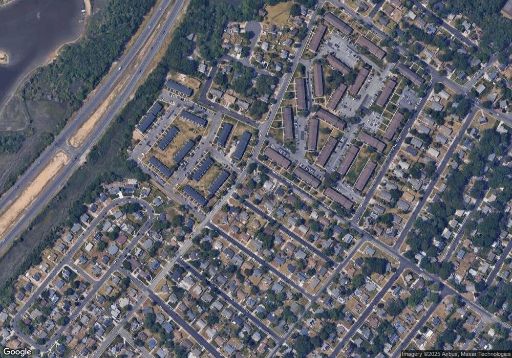
Map
Nearby Homes
- 1036 W Groveland Ave
- 17 Rutgers Rd
- 15 Rutgers Rd
- 1034 W Groveland Ave
- 13 Rutgers Rd
- 180 Exton Rd
- 16 Rutgers Rd
- 1032 W Groveland Ave
- 11 Rutgers Rd
- 14 Rutgers Rd
- 17 Dartmouth Rd
- 15 Dartmouth Rd
- 12 Rutgers Rd
- 13 Dartmouth Rd
- 10 Rutgers Rd
- 11 Dartmouth Rd
- 1028 W Groveland Ave
- 7 Rutgers Rd
- 3 Pacific Ave
- 9 Dartmouth Rd