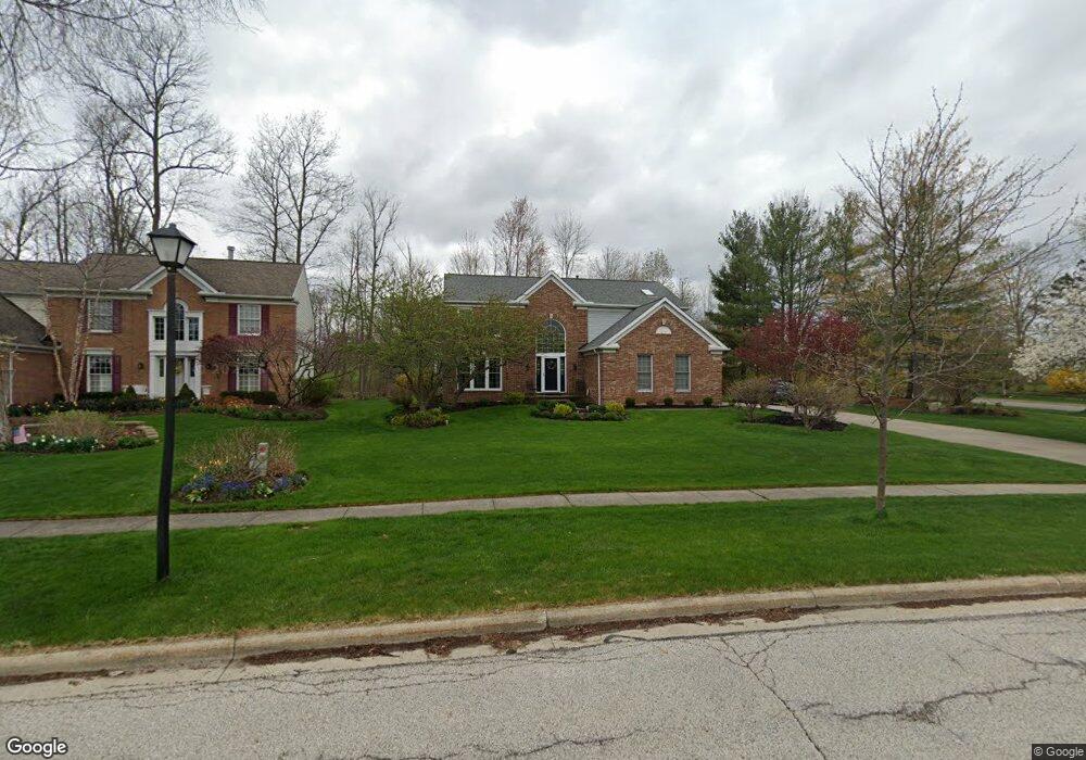
10380 Merriam Ln Twinsburg, OH 44087
Estimated Value: $457,840 - $501,000
4
Beds
3
Baths
2,621
Sq Ft
$180/Sq Ft
Est. Value
About This Home
This home is located at 10380 Merriam Ln, Twinsburg, OH 44087 and is currently estimated at $471,460, approximately $179 per square foot. 10380 Merriam Ln is a home located in Summit County with nearby schools including Wilcox Primary School, Samuel Bissell Elementary School, and Dodge Intermediate School.
Ownership History
Date
Name
Owned For
Owner Type
Purchase Details
Closed on
Jun 28, 1995
Sold by
Greer James A
Bought by
Mcconnell Mark D and Mcconnell Geralyn M
Current Estimated Value
Home Financials for this Owner
Home Financials are based on the most recent Mortgage that was taken out on this home.
Original Mortgage
$189,100
Interest Rate
7.88%
Mortgage Type
New Conventional
Create a Home Valuation Report for This Property
The Home Valuation Report is an in-depth analysis detailing your home's value as well as a comparison with similar homes in the area
Home Values in the Area
Average Home Value in this Area
Purchase History
| Date | Buyer | Sale Price | Title Company |
|---|---|---|---|
| Mcconnell Mark D | $222,500 | -- |
Source: Public Records
Mortgage History
| Date | Status | Borrower | Loan Amount |
|---|---|---|---|
| Closed | Mcconnell Mark D | $189,100 |
Source: Public Records
Tax History Compared to Growth
Tax History
| Year | Tax Paid | Tax Assessment Tax Assessment Total Assessment is a certain percentage of the fair market value that is determined by local assessors to be the total taxable value of land and additions on the property. | Land | Improvement |
|---|---|---|---|---|
| 2025 | $6,325 | $131,418 | $29,015 | $102,403 |
| 2024 | $6,325 | $131,418 | $29,015 | $102,403 |
| 2023 | $6,325 | $131,418 | $29,015 | $102,403 |
| 2022 | $5,499 | $101,938 | $22,491 | $79,447 |
| 2021 | $5,526 | $101,938 | $22,491 | $79,447 |
| 2020 | $5,359 | $101,940 | $22,490 | $79,450 |
| 2019 | $5,404 | $96,060 | $22,490 | $73,570 |
| 2018 | $5,296 | $96,060 | $22,490 | $73,570 |
| 2017 | $4,524 | $96,060 | $22,490 | $73,570 |
| 2016 | $4,496 | $86,990 | $22,490 | $64,500 |
| 2015 | $4,524 | $86,990 | $22,490 | $64,500 |
| 2014 | $4,515 | $86,990 | $22,490 | $64,500 |
| 2013 | $4,604 | $88,790 | $22,490 | $66,300 |
Source: Public Records
Map
Nearby Homes
- 2978 Framingham Ln
- 10169 Timothy Ln
- 2923 Alling Dr
- 10502 White Ash Trail
- 2916 Alling Dr
- 3331 Shale Dr
- 4239 Morley Dr
- 10085 Glen Eagle Ln Unit 35AG
- 10393 N Pond Ln
- 3314 Fenmore Ln
- 10165 Glen Eagle Ln
- 34105 Blue Heron Dr
- 10375 W Cobblestone Ln Unit 2
- 3320 Blossom Trail
- 7372 Liberty Rd
- 7460 Hillside Ln
- 2668 Walton Blvd
- 9740 Burton Dr
- 7471 Som Center Rd
- 7260 Annadale Dr
- 10370 Merriam Ln
- 12066 Nathaniel Ln
- 10362 Merriam Ln
- 10375 Merriam Ln
- 12080 Nathaniel Ln
- 10365 Merriam Ln
- 10354 Merriam Ln
- 12057 Nathaniel Ln
- 3137 Mathers Way
- 10353 Merriam Ln
- 12094 Nathaniel Ln
- 12069 Nathaniel Ln
- 10346 Merriam Ln
- 3125 Mathers Way
- 10343 Merriam Ln
- 12106 Nathaniel Ln
- 2981 Osborn Ln
- 12085 Nathaniel Ln
- 10336 Merriam Ln
- 3116 Elisha Ln