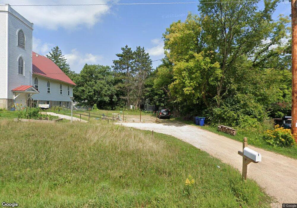
10380 State Highway 161 Amherst Junction, WI 54407
Estimated Value: $118,000 - $321,000
3
Beds
2
Baths
1,100
Sq Ft
$202/Sq Ft
Est. Value
About This Home
This home is located at 10380 State Highway 161, Amherst Junction, WI 54407 and is currently estimated at $221,745, approximately $201 per square foot. 10380 State Highway 161 is a home located in Portage County with nearby schools including Amherst Elementary School, Amherst Middle School, and Amherst High School.
Ownership History
Date
Name
Owned For
Owner Type
Purchase Details
Closed on
Apr 13, 2018
Sold by
Bank First National
Bought by
Mad Management Llc
Current Estimated Value
Home Financials for this Owner
Home Financials are based on the most recent Mortgage that was taken out on this home.
Original Mortgage
$50,000
Outstanding Balance
$42,989
Interest Rate
4.43%
Mortgage Type
New Conventional
Estimated Equity
$178,756
Purchase Details
Closed on
Dec 4, 2017
Sold by
Sheriff Of Portage County
Bought by
First National Bank
Create a Home Valuation Report for This Property
The Home Valuation Report is an in-depth analysis detailing your home's value as well as a comparison with similar homes in the area
Home Values in the Area
Average Home Value in this Area
Purchase History
| Date | Buyer | Sale Price | Title Company |
|---|---|---|---|
| Mad Management Llc | $62,500 | Anderson Kaye E | |
| First National Bank | -- | Anderson Kaye E |
Source: Public Records
Mortgage History
| Date | Status | Borrower | Loan Amount |
|---|---|---|---|
| Open | Mad Management Llc | $50,000 |
Source: Public Records
Tax History Compared to Growth
Tax History
| Year | Tax Paid | Tax Assessment Tax Assessment Total Assessment is a certain percentage of the fair market value that is determined by local assessors to be the total taxable value of land and additions on the property. | Land | Improvement |
|---|---|---|---|---|
| 2024 | $1,813 | $93,000 | $25,600 | $67,400 |
| 2023 | $1,465 | $93,000 | $25,600 | $67,400 |
| 2022 | $1,797 | $93,000 | $25,600 | $67,400 |
| 2021 | $1,283 | $93,000 | $25,600 | $67,400 |
| 2020 | $1,326 | $93,000 | $25,600 | $67,400 |
| 2019 | $1,350 | $93,000 | $25,600 | $67,400 |
| 2018 | $1,358 | $99,800 | $23,600 | $76,200 |
| 2017 | $1,276 | $99,800 | $23,600 | $76,200 |
| 2016 | $1,272 | $99,800 | $23,600 | $76,200 |
| 2015 | $1,340 | $99,800 | $23,600 | $76,200 |
| 2014 | $1,427 | $99,800 | $23,600 | $76,200 |
Source: Public Records
Map
Nearby Homes
- 1780 Waller Rd
- 9504 County Road Ss
- 3081 County Road Q
- 3061 County Road Q
- 3025 County Road Q
- 3078 County Road Q
- N6838 Steffen Ct
- 1128 Taylor Rd
- 9427 Konkol Ln
- 1,496.05± Acres Bestul Rd
- 42.53A County Road Q
- 480 Mckinley St
- 108 Pond St
- 505 Red Tail Dr
- E853 Bestul Rd
- 360 Roark Way
- 350 Roark Way
- 00 County Road V Unit Corner of Cty Rd V a
- 8916 N Shore Dr
- 8896 Glory Ln
- 10380 State Highway 161
- 10388 State Highway 161
- 2394 County Road T S
- 10398 State Highway 161
- 2471 County Road T S
- 2471 County Road T S
- 2471 County Road T S
- O State Highway 161
- 2510 County Road T
- 2517 County Road T
- 10422 State Highway 161
- 10423 State Highway 161
- 0 Hwy T Unit 50079364
- 0 Hwy T Unit 50013956
- 2123 County Road T S
- 10264 State Highway 161
- 10260 State Highway 161
- 2716 County Road T
- 1777 County Road T S
- 1750 County Road T S
